
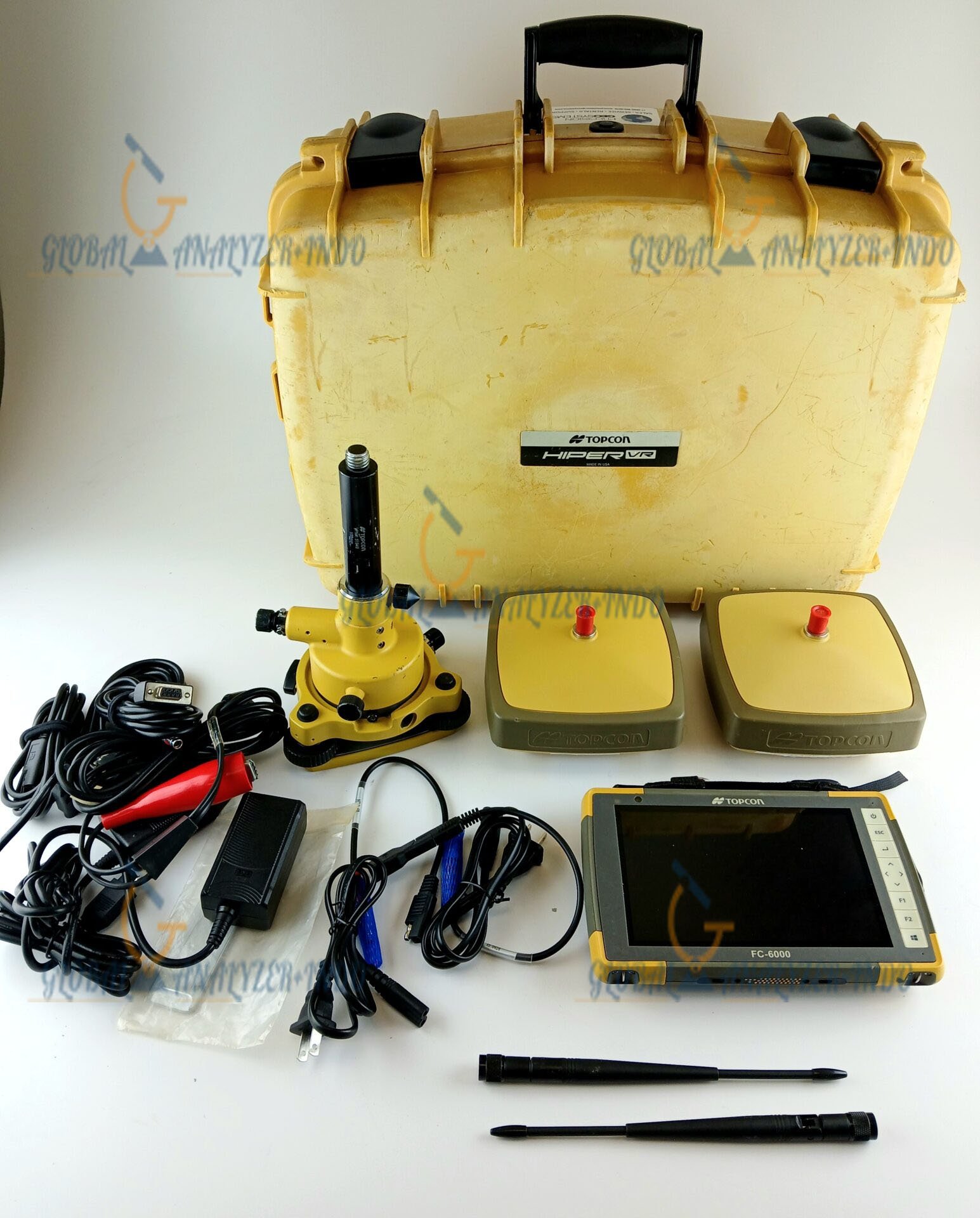
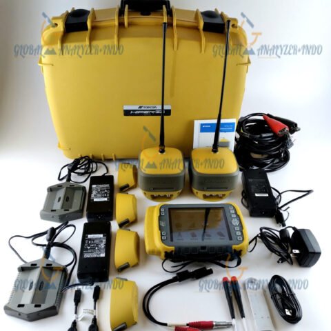
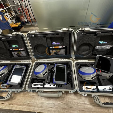
Topcon HiPer VR GNSS Base and Rover Kit: High-Performance Surveying for Every Job Site
The Topcon HiPer VR GNSS Base and Rover Kit is a powerful, field-ready GNSS solution designed to deliver maximum accuracy, flexibility, and performance for professional surveyors. With advanced RTK capabilities, full-constellation satellite tracking, and a rugged housing built for harsh environments, the HiPer VR system provides reliable and precise measurements for any surveying application.
What Is the Topcon HiPer VR GNSS Base and Rover Kit?
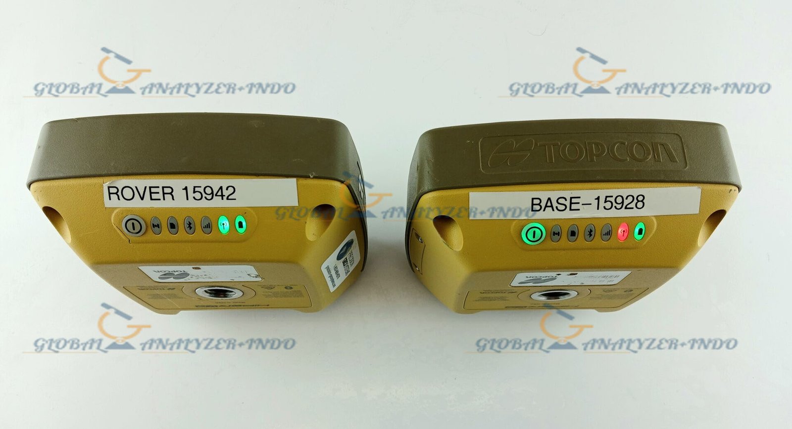
The Topcon HiPer VR is a versatile GNSS receiver designed to function seamlessly as both a base station and a rover unit. Featuring Topcon’s cutting-edge GNSS technology, it ensures exceptional positioning accuracy, even in challenging environments like dense canopy, urban areas, or construction sites with obstructions.
The Base and Rover Kit combines two HiPer VR units to deliver a complete RTK-ready system ideal for topographic surveys, layout work, GIS mapping, and engineering projects.
Key Features of the Topcon HiPer VR GNSS System
1. Full-Constellation, Multi-Frequency Tracking
The HiPer VR supports GPS, GLONASS, Galileo, BeiDou, QZSS, and SBAS signals, delivering enhanced satellite visibility and stable RTK positioning in all field conditions.
2. State-of-the-Art RTK Precision
With advanced RTK algorithms, the system provides centimeter-level accuracy, fast initialization, and reliable measurement stability during long-distance or high-interference operations.
3. Robust and Ultra-Durable Design
Built with an IP67-rated enclosure, the HiPer VR withstands water, dust, vibration, and impact. Its compact design ensures long-term durability, even on demanding job sites.
4. Integrated 9-Axis IMU + Advanced Compensation
The internal IMU offers tilt compensation, enabling surveyors to capture accurate measurements even when the pole is not perfectly vertical—helpful near buildings, obstacles, or uneven ground.
5. Built-In UHF and LongLink Communication
The base-and-rover communication is stable and efficient, with built-in UHF radios and Topcon LongLink technology ensuring long-range connectivity for RTK data transmission.
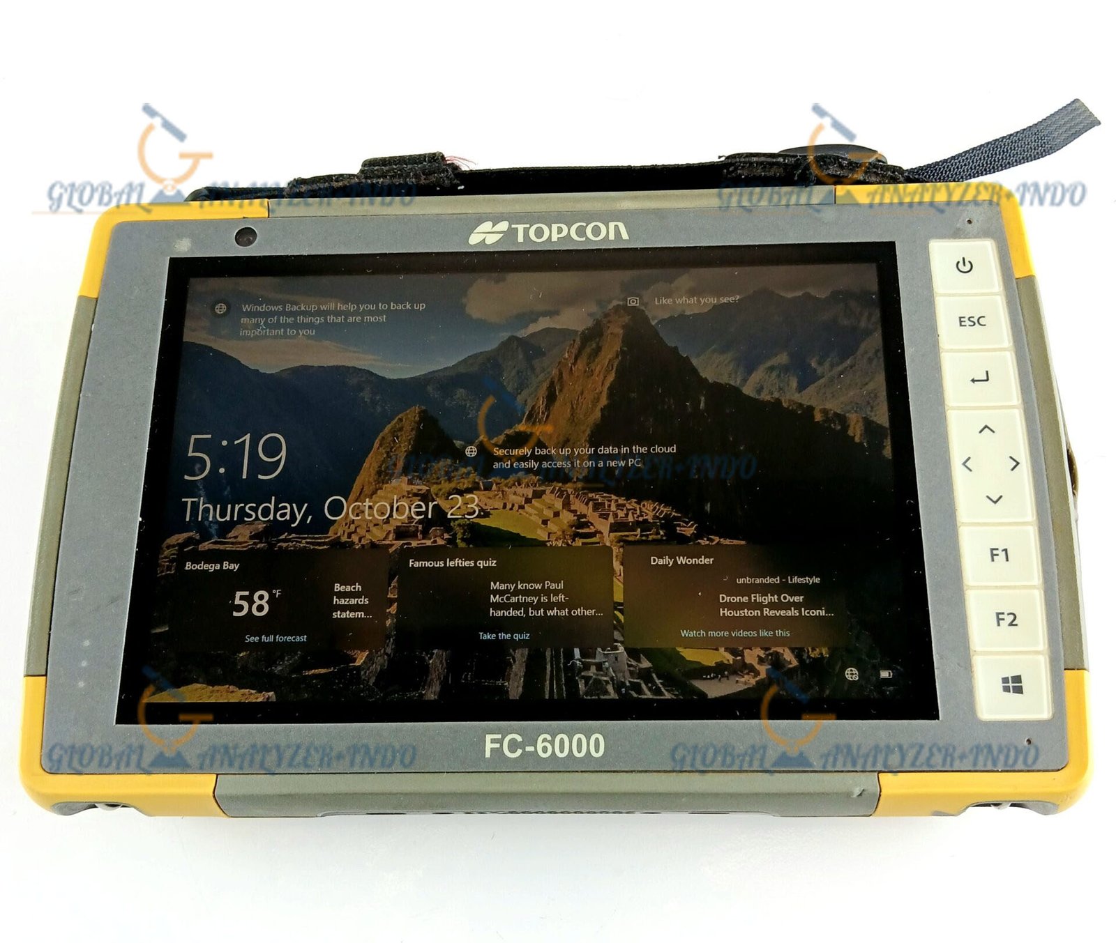
6. Seamless Integration With MAGNET Software
The HiPer VR works flawlessly with Topcon MAGNET Field and MAGNET Office software, offering smooth data collection, processing, and project management.
Benefits of the Topcon HiPer VR GNSS Base and Rover Kit
Reliable Accuracy in Any Environment
With full-constellation GNSS tracking and IMU compensation, measurements remain precise even in difficult environments.
Fast, Efficient Field Productivity
Quick RTK fixes and robust base-to-rover communication minimize downtime and speed up survey tasks.
Flexible Survey Operation
Use one unit as a base and another as a rover, or pair the rover with a network RTK service—the system accommodates multiple workflows.
Enhanced Durability for Fieldwork
Designed to survive extreme weather, heavy use, and rough handling, ensuring long-lasting reliability.
Applications of the Topcon HiPer VR GNSS System
Construction Layout
Perform accurate site layout, grid staking, and as-built verification on construction projects.
Topographic and Boundary Surveys
Collect high-accuracy terrain data, boundary lines, and elevation points for mapping and land development.
GIS & Asset Mapping
Capture high-quality geospatial data for utilities, infrastructure, environmental projects, and municipal planning.
Road, Bridge, and Infrastructure Projects
Support large-scale civil engineering work with dependable survey-grade GNSS precision.
Why Choose the Topcon HiPer VR GNSS Base and Rover Kit?
The Topcon HiPer VR stands out for its exceptional combination of accuracy, durability, flexibility, and technology integration. Designed for modern professional surveying, it adapts to any job site, provides the reliability needed for critical measurements, and supports efficient workflow from field to office.

There are no reviews yet.