
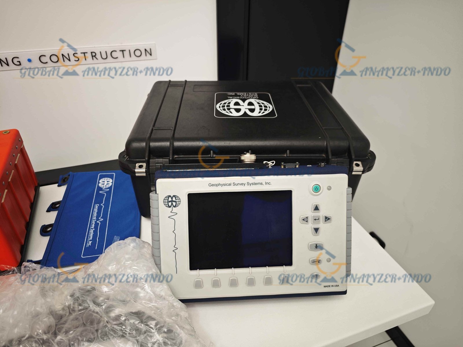
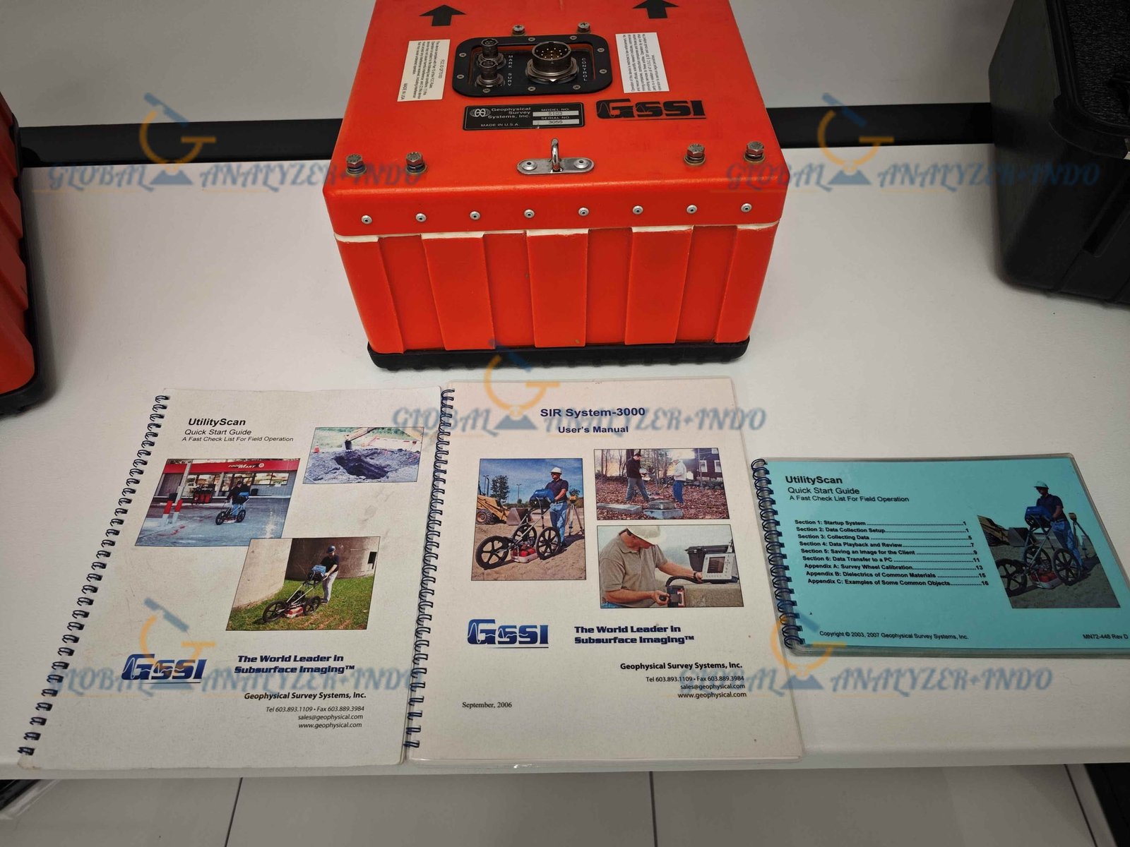
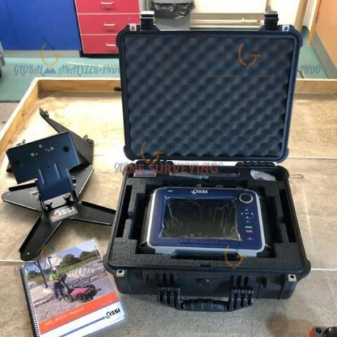
GSSI SIR 3000 UtilityScan with 400 MHz Antenna for Reliable Utility Detection
The GSSI SIR 3000 UtilityScan with 400 MHz Antenna is a ground penetrating radar (GPR) solution designed for accurate underground utility detection. As construction and excavation activities increase, the need for reliable subsurface information also grows. Therefore, this system helps professionals locate buried utilities before excavation begins.
Moreover, the combination of the SIR 3000 controller and the 400 MHz antenna provides a practical balance between depth penetration and image resolution. As a result, users can work with greater confidence in diverse site conditions.
What Is the GSSI SIR 3000 UtilityScan System?
How UtilityScan GPR Technology Works
UtilityScan technology uses electromagnetic signals to scan below the surface. When these signals encounter underground objects, reflections occur. Consequently, the system converts these reflections into visual subsurface images.
Furthermore, operators can view scan results in real time. Therefore, they can adjust scanning parameters immediately to improve data quality.
Importance of the 400 MHz Antenna
The 400 MHz antenna plays a critical role in utility detection. Specifically, it offers an effective balance between penetration depth and resolution. As a result, it performs well for locating pipes, cables, and conduits at common utility depths.
Key Features
Balanced Depth and Image Clarity
The 400 MHz antenna delivers clear subsurface images while maintaining sufficient penetration. Therefore, professionals can detect utilities across a wide range of soil types.
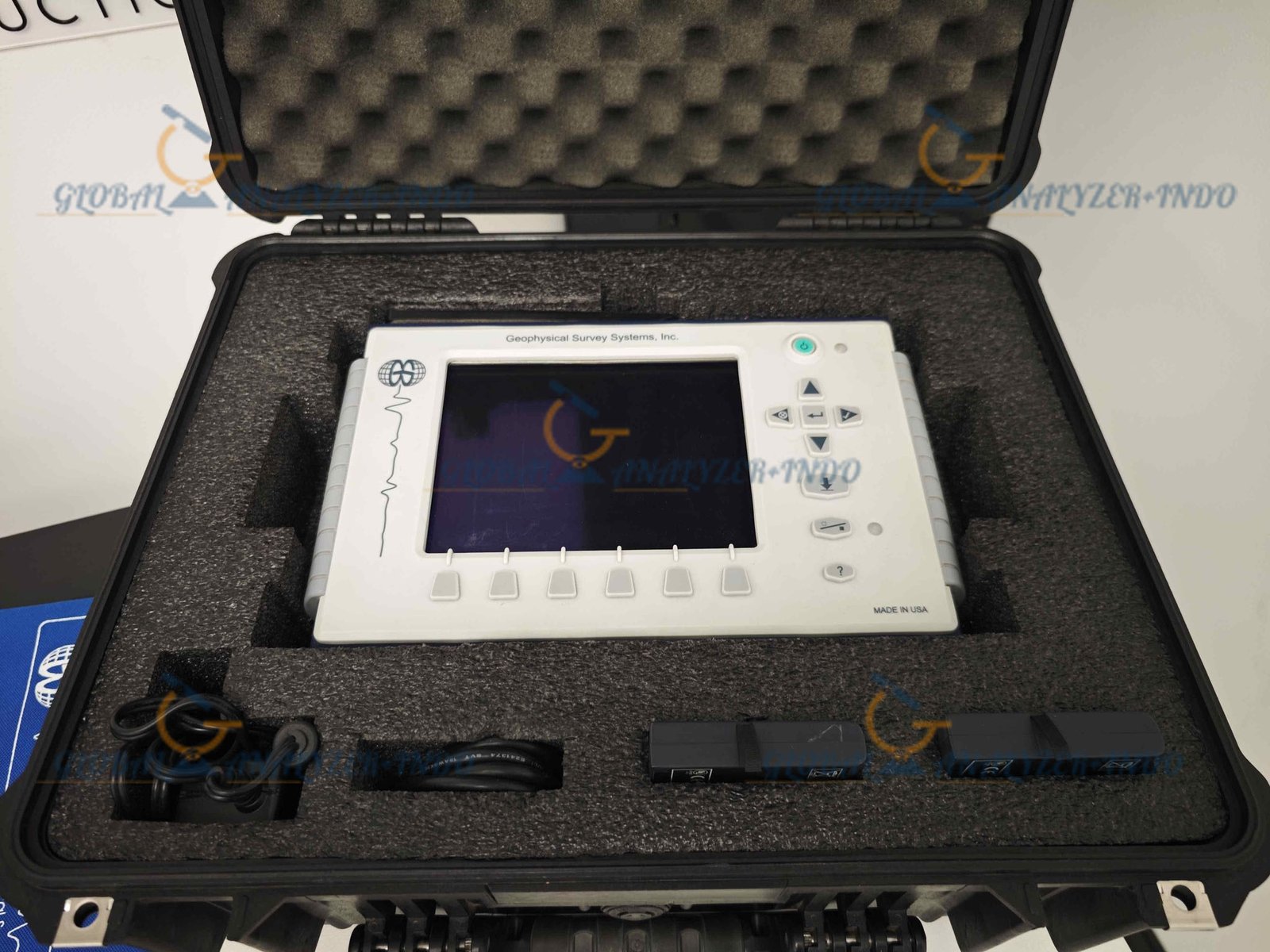
Reliable SIR 3000 GPR Controller
The SIR 3000 controller ensures stable data acquisition. Moreover, it provides real-time visualization, which helps users monitor scan quality throughout the survey.
Portable and Field-Ready Design
The system features a rugged and portable design. Consequently, teams can deploy it easily on construction sites, roadways, and open fields.
Simple and Efficient Operation
User-friendly controls reduce the learning curve. As a result, survey crews can complete projects faster and with fewer operational errors.
Applications
Underground Utility Mapping
Professionals use the system to map buried utilities such as water lines, gas pipes, and electrical cables. Therefore, excavation work becomes safer and more predictable.
Construction and Excavation Planning
Before excavation starts, accurate subsurface data is essential. Consequently, the UtilityScan system helps reduce the risk of utility strikes and costly delays.
Roadway and Infrastructure Assessment
Survey teams apply the system to evaluate subsurface conditions beneath roads and pavements. As a result, maintenance and repair planning become more effective.
Environmental and Site Investigations
In addition, the UtilityScan system supports environmental assessments. For example, professionals can identify subsurface features without disturbing the ground.
Benefits of Using GSSI SIR 3000 UtilityScan
Improved Safety on Job Sites
By identifying underground utilities in advance, the system helps prevent accidents. Moreover, it protects workers, equipment, and surrounding infrastructure.
Accurate and Reliable Data
Clear subsurface imaging improves interpretation accuracy. Therefore, project teams can make informed decisions with confidence.
Faster Survey Execution
Real-time data display accelerates fieldwork. As a result, teams can complete surveys within tight project schedules.
Reduced Project Costs
Avoiding accidental utility damage saves repair costs. Consequently, overall project expenses remain under control.
Who Should Use GSSI SIR 3000 UtilityScan – 400 MHz Antenna?
Utility Locating Specialists
Utility locating professionals benefit from accurate and consistent detection. Therefore, they can deliver reliable results to clients.
Civil and Construction Engineers
Engineers use subsurface data to support excavation and infrastructure design. As a result, project risks decrease.
Surveying and Geophysical Teams
Survey teams rely on GPR data for various applications. Consequently, the UtilityScan system enhances overall survey efficiency.
Why Choose GSSI SIR 3000 UtilityScan with 400 MHz Antenna?
The GSSI SIR 3000 UtilityScan with 400 MHz Antenna combines proven GPR technology with practical field usability. Moreover, its balanced antenna frequency makes it suitable for a wide range of utility detection tasks. Therefore, professionals trust this system for reliable and efficient subsurface surveys.


There are no reviews yet.