
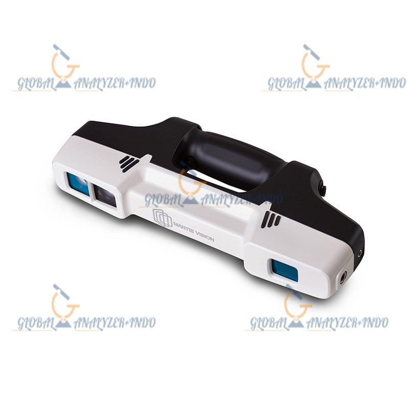
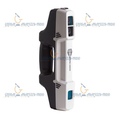
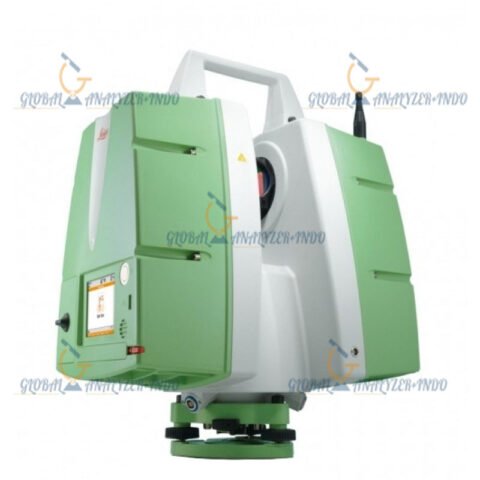
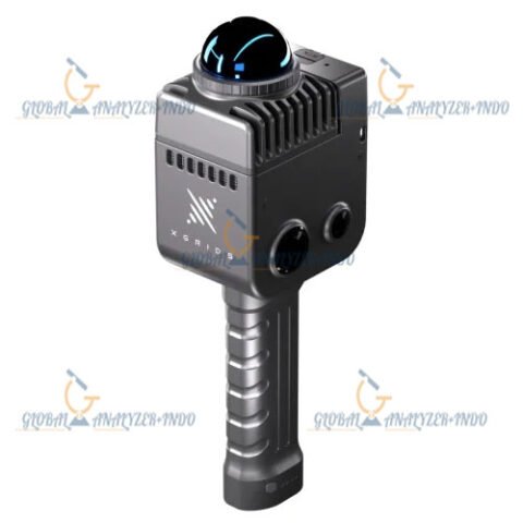
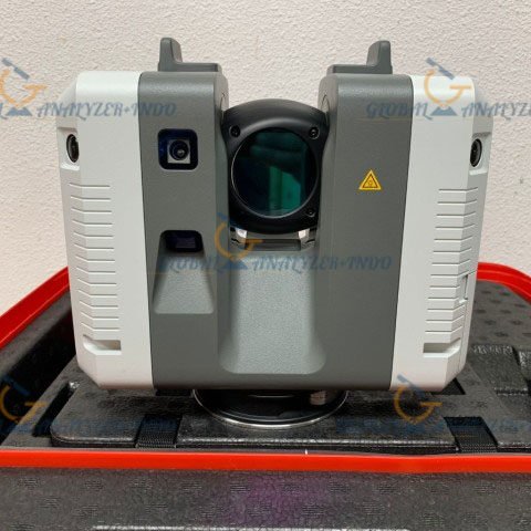
Stonex F6 Handheld 3D: Precision 3D Mapping in Your Hands
The Stonex F6 Handheld 3D is a cutting-edge portable mapping solution designed for professionals who need accurate, fast, and flexible 3D data collection. With advanced LiDAR technology, the device enables efficient 3D scanning in complex environments. Moreover, its lightweight design makes fieldwork easier, even in challenging locations.
What Is the Stonex F6 Handheld 3D?
The Stonex F6 Handheld 3D is a compact 3D scanner that combines portability with high-precision measurement. As a result, surveyors, architects, and engineers can capture spatial data quickly without relying solely on traditional surveying equipment.
Advanced Handheld LiDAR Technology
This device uses LiDAR sensors to generate detailed 3D point clouds in real time. Consequently, users can map interiors, construction sites, and urban areas efficiently.
Portable and User-Friendly
Unlike stationary scanners, the Stonex F6 allows operators to move freely while scanning. Therefore, professionals reduce setup time and improve overall productivity in the field.
Key Features
High-Precision 3D Scanning
The scanner captures millions of points per second, providing accurate and detailed spatial information. As a result, it supports complex modeling and mapping projects.
Lightweight and Ergonomic Design
First of all, its ergonomic design ensures comfort during extended use. In addition, the lightweight frame makes it easy to carry across large sites.
Flexible Data Processing
Stonex F6 outputs data compatible with common CAD, BIM, and GIS platforms. Therefore, professionals can integrate 3D scans seamlessly into existing workflows.
Fast Workflow Efficiency
The handheld operation allows continuous scanning while walking. Consequently, project timelines shorten without compromising data quality.
Benefits
Faster Project Completion
By allowing mobile scanning, teams can finish surveys more quickly. Moreover, operators can capture detailed data in areas where traditional tools are limited.
Simplified Field Operations
The device reduces the need for complex setups. Therefore, even small teams can conduct large-scale 3D mapping projects effectively.
Cost-Effective Solution
Because it decreases labor hours and speeds up data collection, the Stonex F6 offers significant cost savings for surveying and construction projects.
Applications
Surveying and Urban Mapping
The scanner provides accurate 3D maps for urban planning and development. For example, it works well in tight indoor spaces or crowded city streets.
Architecture and Construction
Professionals use it to document as-built conditions, monitor progress, and create precise digital models of construction sites.
Industrial Facilities and Infrastructure
Operators map warehouses, factories, and utilities with high accuracy. As a result, asset management and maintenance planning improve significantly.
Engineering and Design
Engineers and designers use the 3D data for modeling, analysis, and decision-making, ensuring more reliable project outcomes.
Why Choose Stonex F6 Handheld 3D?
Reliable Technology from Stonex
Stonex is recognized for delivering high-quality geospatial solutions. Therefore, users trust the F6 for accuracy and performance in demanding environments.
Versatile and Future-Ready
As LiDAR and 3D scanning technology advance, the F6 remains adaptable. Consequently, it represents a smart investment for long-term projects.
Seamless Integration into Workflows
Finally, the data collected integrates easily into CAD, BIM, and GIS software. As a result, teams spend less time converting or processing files.


There are no reviews yet.