
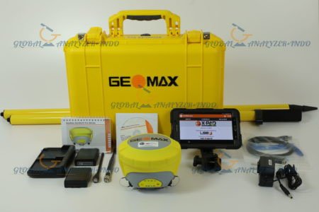
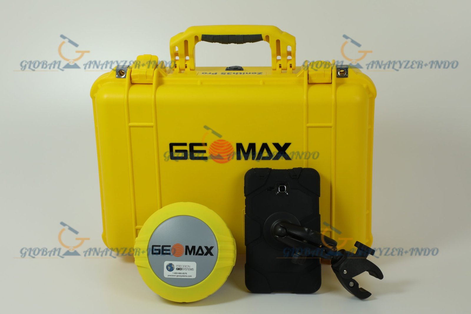
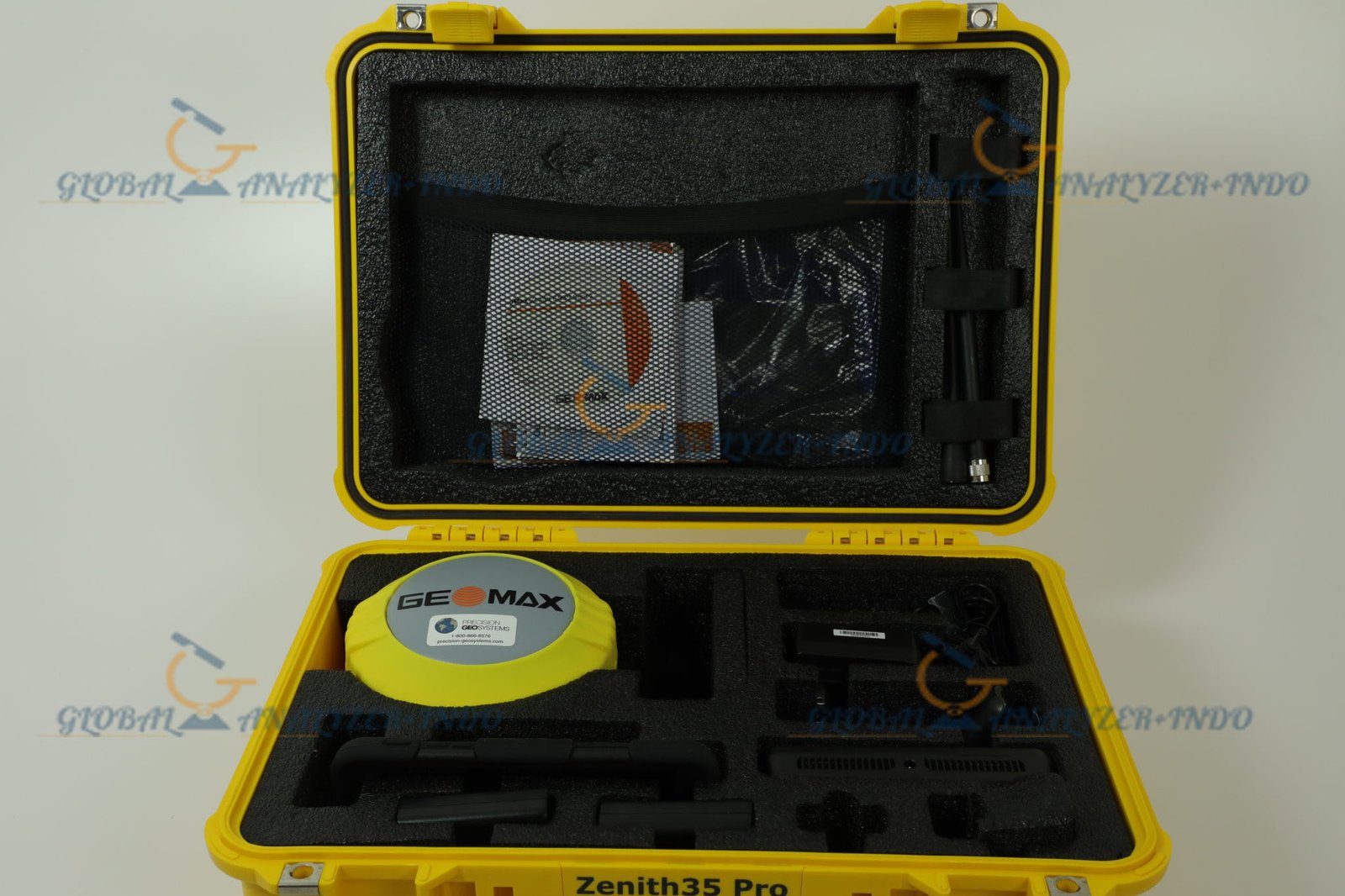
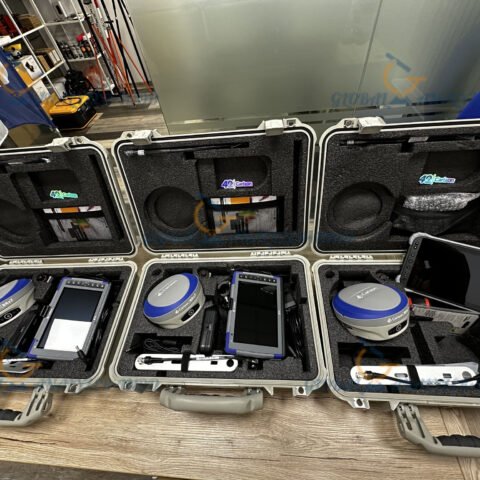
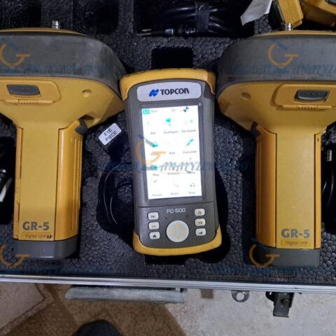
GeoMax Zenith 35 GPS GNSS Antenna with 7-Inch Controller: Smart GNSS Solution for Modern Surveying
The GeoMax Zenith 35 GPS GNSS Antenna with 7-inch controller is a reliable and efficient GNSS solution designed for surveying, construction, and GIS data collection. As field projects become more demanding, surveyors need equipment that combines accuracy, ease of use, and mobility. Therefore, the Zenith 35 delivers dependable GNSS performance together with a large, user-friendly controller for efficient fieldwork.
Overview of GeoMax Zenith 35 GNSS System
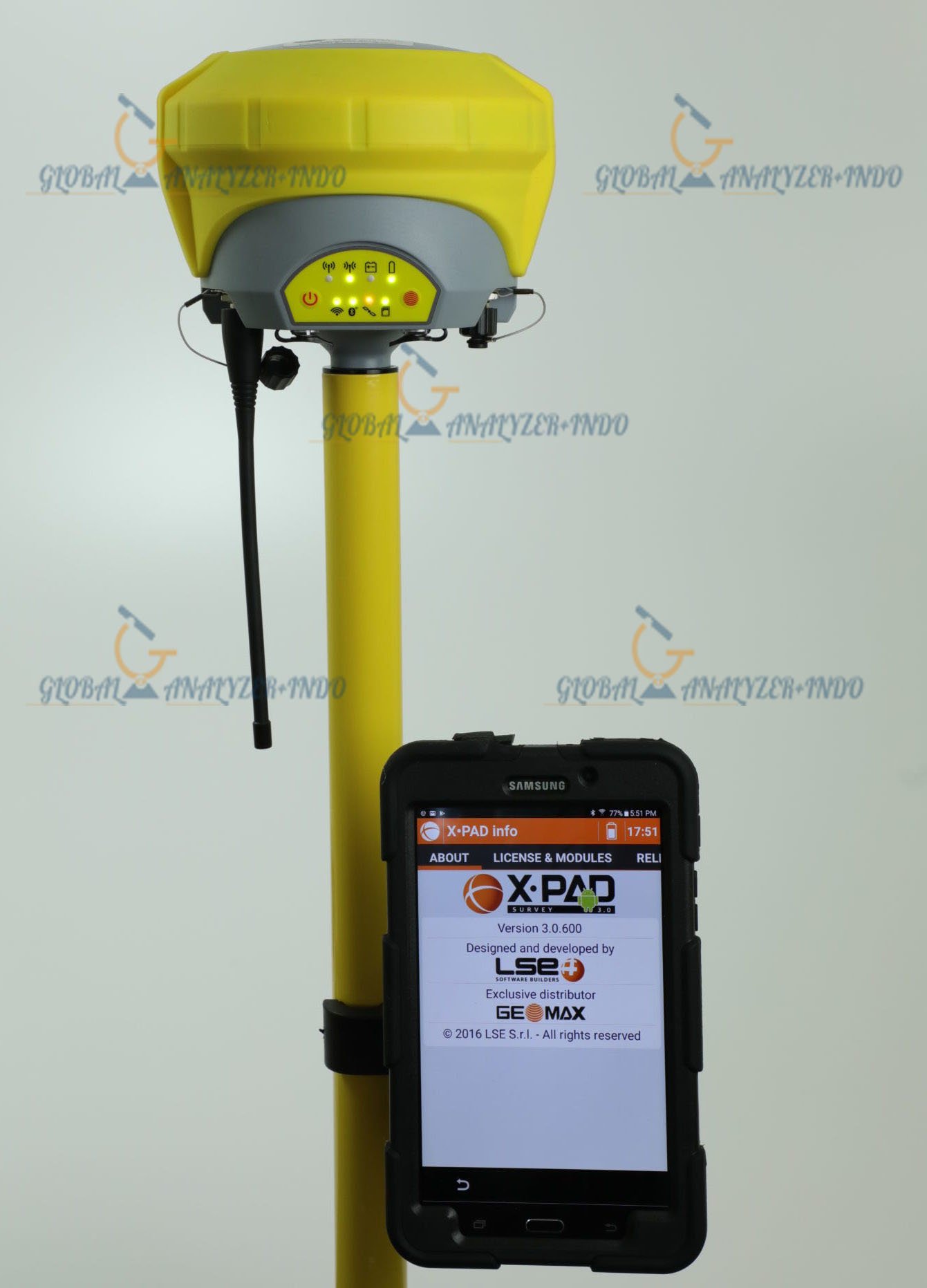
The GeoMax Zenith 35 is a compact GNSS antenna system paired with a 7-inch touchscreen controller. Moreover, it supports precise positioning workflows while remaining simple to operate, making it suitable for both experienced professionals and new users.
Who Uses the GeoMax Zenith 35?
The Zenith 35 system is commonly used by:
Land surveyors and mapping professionals
Construction and site engineers
GIS and environmental data collectors
Utility and infrastructure survey teams
As a result, it adapts well to a wide range of positioning applications.
Key Features of GeoMax Zenith 35 GNSS Antenna
Reliable GNSS Positioning
The Zenith 35 tracks multiple GNSS satellite signals to provide stable positioning. Consequently, it delivers consistent results even in challenging field conditions.
Compact and Lightweight Antenna Design
The lightweight antenna design improves mobility in the field. Therefore, surveyors can work comfortably during long surveying sessions.
Stable Performance in Real Environments
The system maintains reliable positioning in urban, rural, and semi-obstructed areas. As a result, it supports daily surveying tasks with confidence.
7-Inch Controller Advantages
Large and Clear Touchscreen Display
The 7-inch controller offers a clear and responsive display. Consequently, users can view maps, points, and measurements easily, even under bright sunlight.
User-Friendly Interface
An intuitive interface simplifies data collection and field operations. Therefore, users can complete tasks faster with fewer errors.
Efficient Data Handling
The controller allows easy data storage and transfer. As a result, survey data can be processed quickly in the office.
Benefits of Using GeoMax Zenith 35 with 7-Inch Controller
Improved Field Productivity
Fast positioning and a large display help surveyors complete tasks efficiently. Consequently, field time is reduced.
Accurate and Consistent Results
Reliable GNSS performance ensures dependable coordinate data. Therefore, professionals can trust the results for planning and construction.
Versatile Application Support
The system supports surveying, construction layout, and GIS data collection. As a result, it offers flexibility for various projects.
Common Applications
Land Surveying and Topographic Mapping
Surveyors use the Zenith 35 to collect accurate boundary and elevation data for mapping and planning.
Construction Layout and Site Control
The system supports precise positioning for construction layout and site verification tasks.
GIS and Asset Data Collection
GIS professionals rely on the Zenith 35 for efficient and accurate spatial data capture.
Why Choose GeoMax Zenith 35 GNSS System?
The GeoMax Zenith 35 combines reliable GNSS technology with a large, easy-to-use controller. Therefore, it is an excellent choice for professionals who need accuracy, simplicity, and mobility in one solution.
Trusted GeoMax Technology
GeoMax is known for practical and reliable surveying solutions. Moreover, its products deliver consistent performance and long-term usability.
Designed for Daily Field Operations
The Zenith 35 system is built for real-world use. As a result, it performs well in diverse surveying environments.

There are no reviews yet.