
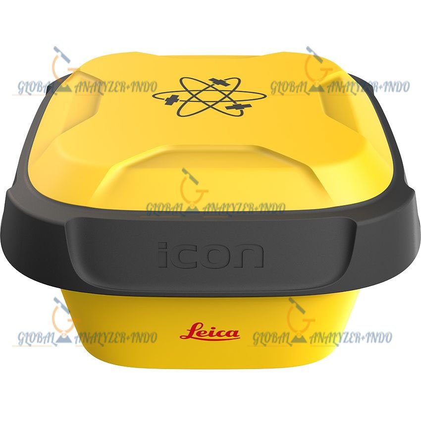
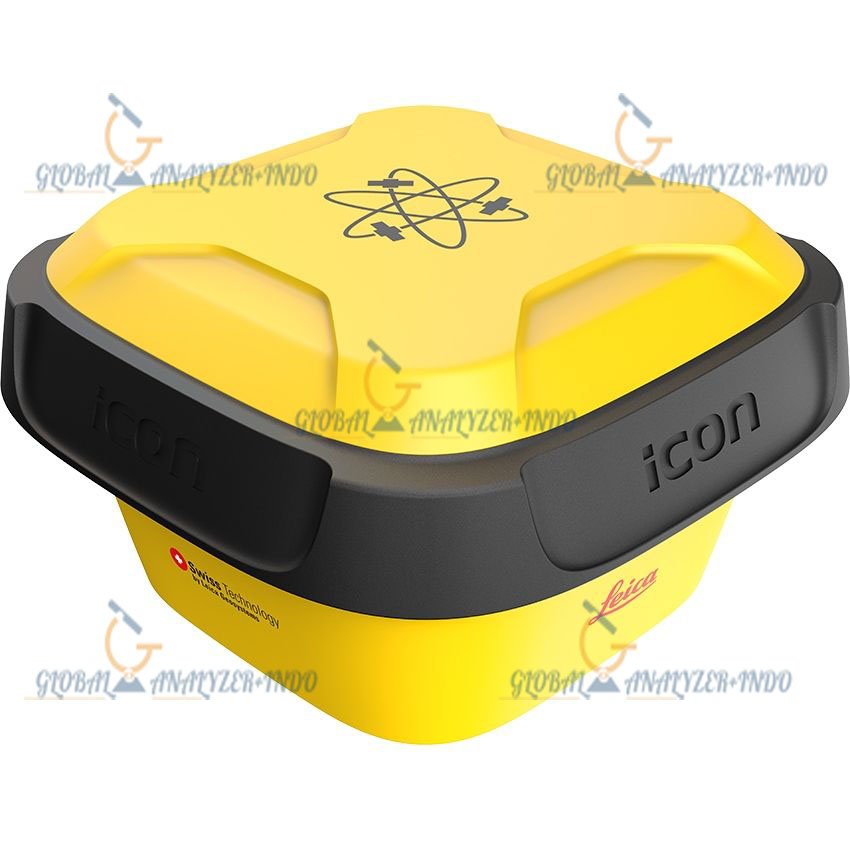
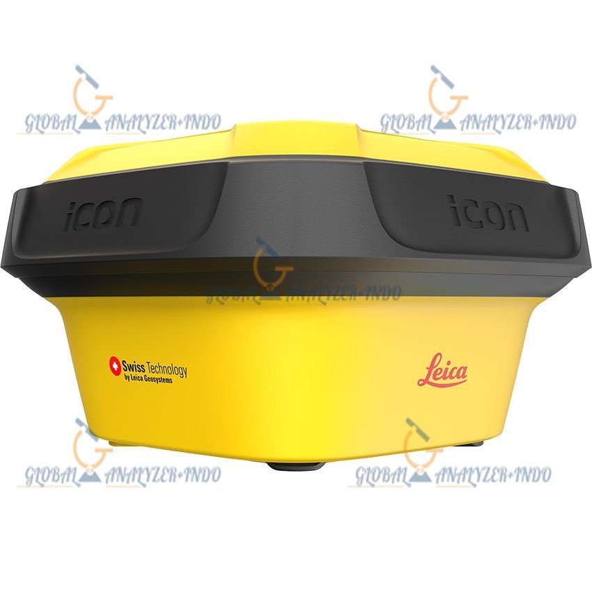
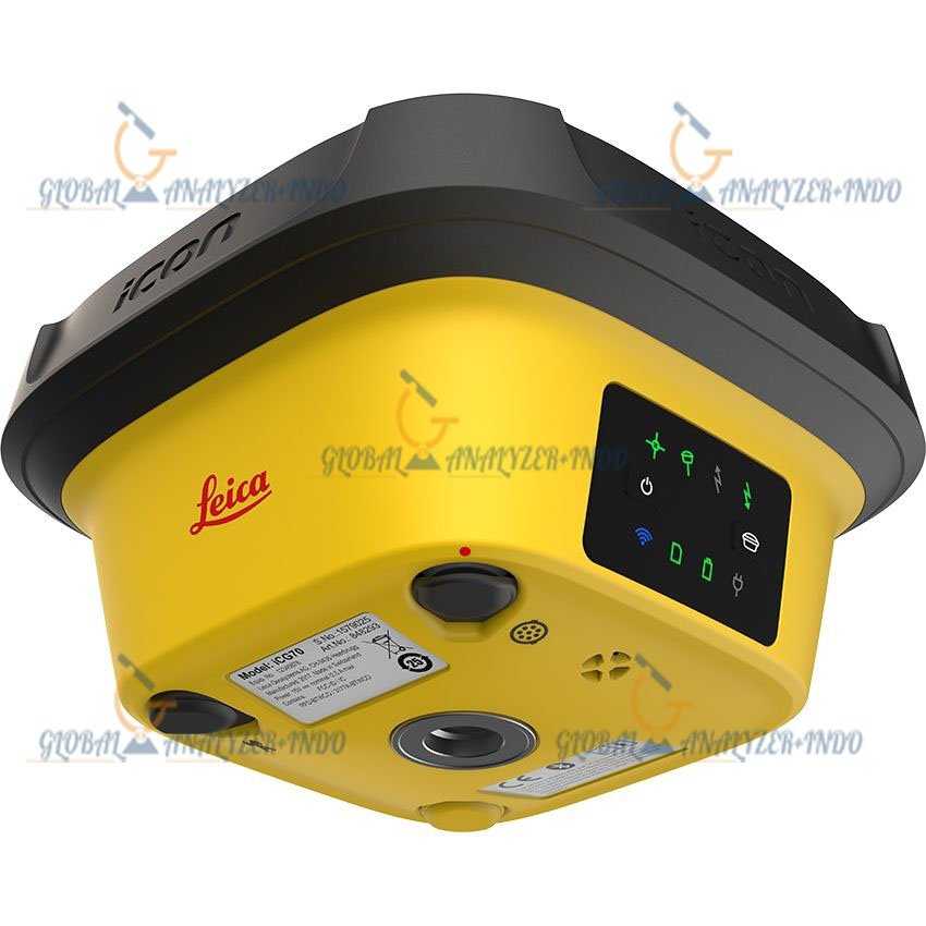
Leica iCG70T RTK Receiver
Advanced GNSS RTK Receiver for High-Precision Surveying and Construction Applications
The Leica iCG70T RTK Receiver is a next-generation GNSS smart antenna engineered for professional surveyors, construction engineers, geospatial specialists, and machine control applications. Designed with Leica Geosystems’ advanced positioning technologies, the iCG70T delivers reliable RTK accuracy, robust signal tracking, and exceptional field durability for demanding environments.
Built to support modern surveying workflows, the Leica iCG70T integrates multi-constellation satellite tracking, tilt compensation, wireless connectivity, and rugged industrial protection, making it an ideal solution for topographic surveys, site positioning, construction staking, GIS mapping, and infrastructure development projects.
Why Choose Leica iCG70T RTK Receiver
High-Precision GNSS Positioning
The Leica iCG70T provides centimeter-level positioning accuracy through advanced RTK technology and multi-frequency GNSS signal tracking. It supports real-time corrections from network RTK services, base-rover configurations, and correction protocols for highly accurate field measurements.
Key Accuracy Benefits
- Fast RTK initialization
- Stable fixed solutions in difficult environments
- Reliable measurements near buildings and trees
- Reduced multipath interference
- Consistent positioning performance
Multi-Constellation GNSS Tracking
The receiver is designed to track multiple global satellite constellations simultaneously, increasing positioning reliability and reducing downtime in obstructed conditions.
Supported Satellite Systems
- GPS
- GLONASS
- Galileo
- BeiDou
- QZSS
- SBAS
- NavIC support (optional in some regions)
Multi-Frequency Signal Tracking
The Leica iCG70T supports advanced multi-band signal reception for enhanced satellite availability and RTK performance.
Supported frequencies include:
- GPS: L1, L2, L5
- GLONASS: G1, G2
- Galileo: E1, E5a, E5b
- BeiDou: B1, B2, B3
- QZSS: L1, L2, L5
Rugged Design for Harsh Field Conditions
Industrial-Grade Durability
The Leica iCG70T is built for continuous outdoor operation in demanding job sites, construction environments, and extreme weather conditions.
Rugged Features
- Shock-resistant housing
- Dustproof enclosure
- Waterproof protection
- Corrosion-resistant body
- Designed for long operational life
Environmental Protection
| Feature | Specification |
|---|---|
| Dust & Water Protection | IP67 |
| Operating Temperature | -40°C to +65°C |
| Storage Temperature | -40°C to +85°C |
| Humidity Resistance | 100% condensing |
| Drop Resistance | 2 m pole drop |
Leica iCG70T Tilt Compensation Technology
Advanced IMU-Based Tilt Measurement
The Leica iCG70T incorporates integrated tilt compensation technology using advanced inertial measurement sensors. This allows users to capture accurate survey points without leveling the survey pole perfectly vertical.
Benefits of Tilt Compensation
- Faster point collection
- Improved productivity
- Safer measurements near hazards
- Easier operation in confined spaces
- Reduced operator fatigue
Tilt Performance
| Parameter | Specification |
|---|---|
| Tilt Compensation | IMU-based |
| Maximum Tilt Angle | Up to 60° |
| Calibration | Automatic |
| Magnetic Interference Dependency | Reduced |
Wireless Connectivity and Data Communication
Modern Communication Interfaces
The Leica iCG70T supports multiple wireless and wired communication options for seamless integration with field controllers, cloud systems, and correction services.
Connectivity Features
- Bluetooth
- Wi-Fi
- UHF Radio
- 4G LTE Cellular Modem
- USB Type-C
- Serial Communication
Supported RTK Correction Formats
- RTCM 2.x
- RTCM 3.x
- CMR
- CMR+
- NTRIP Client
- NTRIP Server
Long Battery Life for Full-Day Operations
High-Capacity Internal Battery
The receiver includes a powerful battery system designed for long-duration field operation.
Power Features
- Hot-swappable battery support
- Intelligent power management
- USB charging compatibility
- Low power consumption architecture
Battery Specifications
| Feature | Specification |
|---|---|
| Battery Type | Internal Li-Ion |
| Operating Time | Up to 12–16 hours |
| Charging Time | Approx. 4 hours |
| External Power Support | Yes |
Leica iCG70T Applications
Land Surveying
The Leica iCG70T is ideal for professional surveying workflows including:
- Boundary surveys
- Topographic mapping
- Control point establishment
- Construction layout
- As-built documentation
Construction and Machine Control
The receiver supports construction positioning and machine guidance applications for:
- Earthworks
- Road construction
- Excavation control
- Site grading
- Utility installation
GIS and Mapping
With high positioning accuracy and mobile connectivity, the iCG70T is also suitable for:
- Utility mapping
- Asset management
- Environmental surveys
- Municipal GIS projects
- Infrastructure inspection
GNSS Performance Specifications
| Specification | Details |
|---|---|
| GNSS Channels | 800+ channels |
| RTK Accuracy (Horizontal) | 8 mm + 1 ppm |
| RTK Accuracy (Vertical) | 15 mm + 1 ppm |
| Static Accuracy Horizontal | 2.5 mm + 0.5 ppm |
| Static Accuracy Vertical | 5 mm + 0.5 ppm |
| DGPS Accuracy | <0.4 m RMS |
| Initialization Time | Typically <10 sec |
| Reacquisition Time | <1 sec |
Physical Specifications
| Feature | Details |
|---|---|
| Weight | Approx. 1.1–1.3 kg |
| Dimensions | Compact smart antenna design |
| Housing Material | Magnesium alloy + industrial polymer |
| Mounting Thread | 5/8″ survey thread |
Communication Specifications
| Feature | Details |
|---|---|
| Cellular Network | 4G LTE |
| Bluetooth Version | Bluetooth 5.0 |
| Wi-Fi | Integrated |
| Internal Radio | Optional UHF Tx/Rx |
| Data Storage | Internal memory |
Sensors and Additional Features
| Feature | Details |
|---|---|
| IMU Tilt Sensor | Yes |
| Electronic Bubble | Yes |
| NFC Pairing | Supported |
| Web UI | Integrated |
| Voice Notification | Supported |
Benefits of Using Leica iCG70T
Increased Productivity
The Leica iCG70T significantly improves field efficiency through:
- Faster initialization
- Reduced setup time
- Tilt-enabled measurements
- Reliable connectivity
- Long battery operation
Reliable Performance in Challenging Environments
The advanced GNSS engine ensures stable operation in:
- Urban canyons
- Dense vegetation
- Mountainous terrain
- Construction sites
- Remote infrastructure projects
Compatible Software and Controllers
Leica Ecosystem Integration
The Leica iCG70T works seamlessly with Leica field software and controllers for complete surveying workflows.
Compatible Solutions
- Leica Captivate
- Leica Infinity
- Leica iCON Site
- Leica machine control systems
- Third-party survey software
Industries Using Leica iCG70T
Major Industry Applications
The Leica iCG70T is widely used across multiple industries:
Construction Industry
- Building construction
- Highway projects
- Rail infrastructure
- Mining operations
Geospatial Industry
- Surveying firms
- Mapping agencies
- GIS professionals
- Engineering consultants
Utilities and Infrastructure
- Pipeline installation
- Powerline mapping
- Telecom infrastructure
- Smart city development
There are no reviews yet.