
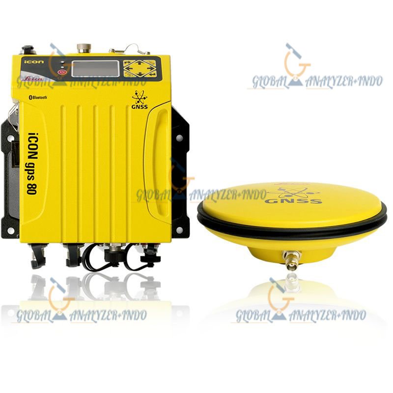
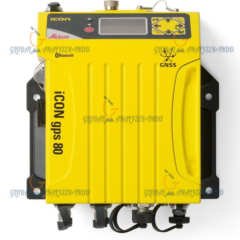
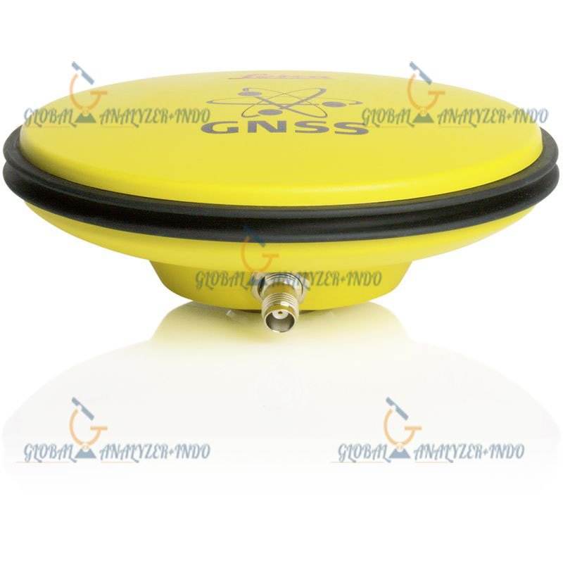
Leica iCON GPS 80 RTK
Advanced GNSS RTK Rover for Construction Positioning and Surveying
The Leica iCON GPS 80 RTK is a high-performance GNSS smart antenna designed specifically for modern construction positioning, machine control, and precision surveying applications. Built with Leica Geosystems’ advanced RTK and tilt compensation technologies, the iCON GPS 80 delivers exceptional accuracy, field reliability, and productivity in demanding job site conditions.
Engineered for construction professionals, surveyors, civil engineers, and infrastructure contractors, the Leica iCON GPS 80 combines multi-frequency GNSS tracking, advanced IMU tilt compensation, wireless communication, and rugged industrial durability in a compact and efficient solution.
Why Choose Leica iCON GPS 80 RTK
Designed for Construction Workflows
Unlike conventional GNSS receivers, the Leica iCON GPS 80 is optimized for construction positioning and layout tasks. It helps crews work faster, reduce staking errors, and improve efficiency across all project phases.
Main Advantages
- Fast RTK positioning
- Accurate construction staking
- Reliable tilt compensation
- Seamless machine control integration
- Durable field-ready design
- High productivity workflows
Multi-Constellation GNSS Technology
Advanced Satellite Tracking Performance
The Leica iCON GPS 80 supports simultaneous tracking of multiple GNSS constellations and frequencies, improving signal availability and RTK reliability in difficult environments.
Supported Satellite Constellations
- GPS
- GLONASS
- Galileo
- BeiDou
- QZSS
- SBAS
Supported GNSS Frequencies
| Satellite System | Frequencies |
|---|---|
| GPS | L1, L2, L5 |
| GLONASS | G1, G2 |
| Galileo | E1, E5a, E5b |
| BeiDou | B1, B2, B3 |
| QZSS | L1, L2, L5 |
Leica iCON GPS 80 RTK Accuracy
High-Precision RTK Performance
The receiver provides centimeter-level RTK accuracy for surveying, construction layout, and machine guidance applications.
RTK Accuracy Specifications
| Measurement Type | Accuracy |
|---|---|
| RTK Horizontal | 8 mm + 1 ppm |
| RTK Vertical | 15 mm + 1 ppm |
| Static Horizontal | 2.5 mm + 0.5 ppm |
| Static Vertical | 5 mm + 0.5 ppm |
| DGPS Accuracy | <0.4 m RMS |
| Initialization Time | Typically <10 sec |
| Signal Reacquisition | <1 sec |
Advanced Tilt Compensation Technology
IMU-Based Tilt Measurement
The Leica iCON GPS 80 integrates advanced inertial measurement technology that allows users to measure points accurately without leveling the survey pole.
Benefits of Tilt Compensation
- Faster point collection
- Improved operator safety
- Easier access to hard-to-reach points
- Reduced setup time
- Increased construction productivity
Tilt Specifications
| Feature | Specification |
|---|---|
| Tilt Technology | IMU-based |
| Maximum Tilt Angle | Up to 60° |
| Calibration | Automatic |
| Magnetic Calibration Dependency | Minimal |
Rugged Design for Construction Sites
Built for Extreme Jobsite Conditions
The Leica iCON GPS 80 is engineered to withstand harsh environmental conditions commonly found on construction and infrastructure projects.
Rugged Construction Features
- Dustproof housing
- Waterproof enclosure
- Shock-resistant body
- Industrial-grade materials
- Long-term field durability
Environmental Specifications
| Parameter | Specification |
|---|---|
| IP Rating | IP67 |
| Operating Temperature | -40°C to +65°C |
| Storage Temperature | -40°C to +85°C |
| Humidity Resistance | 100% condensing |
| Pole Drop Resistance | 2 m |
Wireless Connectivity and Communication
Seamless Field Integration
The Leica iCON GPS 80 supports multiple communication technologies for reliable data transfer and RTK correction reception.
Connectivity Features
- Bluetooth
- Wi-Fi
- 4G LTE cellular modem
- Internal UHF radio
- USB Type-C
- Serial communication
Supported Correction Formats
- RTCM 2.x
- RTCM 3.x
- CMR
- CMR+
- NTRIP Client
- NTRIP Server
Long Battery Performance
Full-Day Field Operation
The receiver includes an efficient battery system designed for long workdays in the field.
Battery Features
- High-capacity Li-Ion battery
- Intelligent power management
- Fast charging support
- External power compatibility
Battery Specifications
| Feature | Specification |
|---|---|
| Battery Type | Internal Li-Ion |
| Operating Time | Up to 14–16 hours |
| Charging Time | Approx. 4 hours |
| External Power Input | Supported |
Leica iCON GPS 80 Applications
Construction Layout and Positioning
The Leica iCON GPS 80 is optimized for construction applications such as:
- Site layout
- Foundation staking
- Road construction
- Earthworks
- Utility positioning
- Grade checking
Surveying Applications
The receiver also supports high-precision surveying workflows including:
- Topographic surveys
- Boundary surveys
- Control point establishment
- As-built surveys
- Infrastructure mapping
Machine Control Integration
The Leica iCON GPS 80 integrates with Leica machine control systems for:
- Excavator guidance
- Dozer grading
- Road paving
- Construction automation
- Real-time positioning workflows
GNSS Engine Specifications
| Feature | Details |
|---|---|
| GNSS Channels | 800+ channels |
| Multi-Frequency Support | Yes |
| RTK Technology | Advanced RTK engine |
| Signal Tracking | Multi-constellation |
Physical Specifications
| Parameter | Details |
|---|---|
| Weight | Approx. 1.1–1.3 kg |
| Housing Material | Magnesium alloy + polymer |
| Mounting Thread | 5/8″ survey thread |
| Form Factor | Compact smart antenna |
Communication Specifications
| Feature | Details |
|---|---|
| Bluetooth | Bluetooth 5.0 |
| Wi-Fi | Integrated |
| Cellular Modem | 4G LTE |
| UHF Radio | Optional Tx/Rx |
| Internal Memory | Supported |
Integrated Sensors
| Sensor | Availability |
|---|---|
| IMU Tilt Sensor | Yes |
| Electronic Bubble | Yes |
| NFC Pairing | Supported |
| Web Interface | Integrated |
Leica iCON Construction Software Compatibility
Integrated Leica Ecosystem
The Leica iCON GPS 80 works seamlessly with Leica construction and surveying software platforms.
Compatible Software Solutions
- Leica iCON Site
- Leica Captivate
- Leica Infinity
- Leica machine control platforms
- Third-party survey software
Key Benefits of Leica iCON GPS 80 RTK
Improved Construction Efficiency
The receiver enhances field productivity by:
- Reducing staking time
- Eliminating frequent pole leveling
- Improving positioning speed
- Increasing layout accuracy
- Minimizing rework
Reliable RTK Performance
The advanced GNSS engine ensures reliable positioning even in challenging conditions:
- Urban environments
- Near heavy machinery
- Partially obstructed areas
- Remote construction sites
- Large infrastructure projects
Industries Using Leica iCON GPS 80
Construction Industry
- Commercial construction
- Residential development
- Highway projects
- Rail construction
- Industrial facilities
Infrastructure Development
- Utilities
- Telecommunications
- Pipelines
- Airports
- Smart city projects
Surveying and Engineering
- Surveying companies
- Civil engineering firms
- Geospatial consultants
- Government infrastructure agencies

There are no reviews yet.