
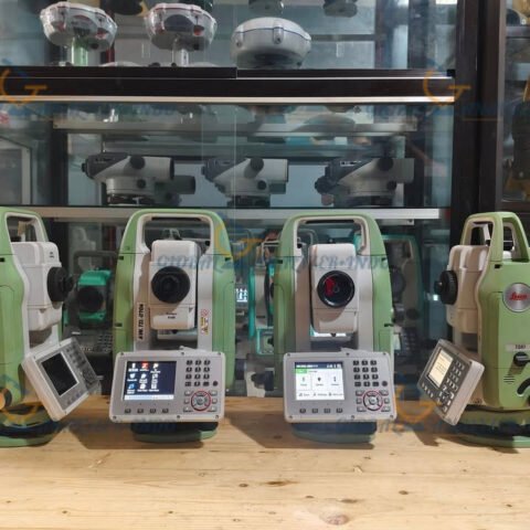
GeoSLAM ZEB REVO RT: Real-Time 3D Mobile Mapping Solution
Introduction to GeoSLAM ZEB REVO RT
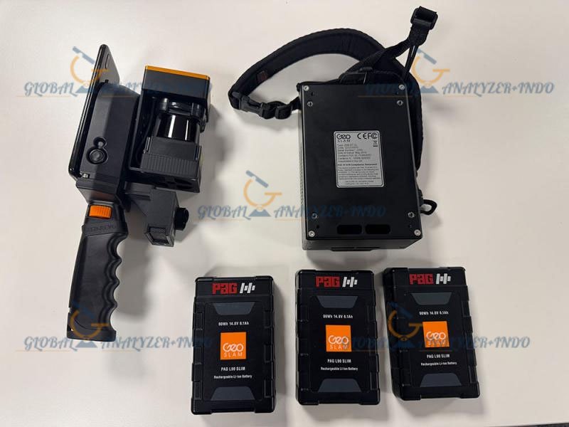
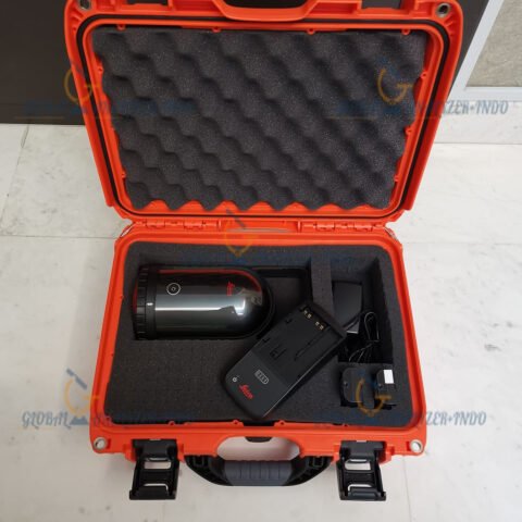
The GeoSLAM ZEB REVO RT is an advanced mobile 3D mapping system designed for real-time scanning in complex and dynamic environments. As industries increasingly rely on accurate spatial data, this innovative technology enables rapid, precise mapping without extensive setup.
Moreover, its lightweight and portable design allows users to capture detailed 3D data in challenging locations where traditional surveying methods are difficult or time-consuming.
What Is GeoSLAM ZEB REVO RT?
Understanding Mobile LiDAR Mapping
Mobile LiDAR (Light Detection and Ranging) mapping involves using laser scanners to capture accurate 3D representations of physical spaces. Unlike stationary scanners, mobile systems such as the ZEB REVO RT can move freely through the environment, producing real-time 3D models.
Role of ZEB REVO RT in Modern Industries
The ZEB REVO RT is particularly suited for industries like mining, construction, architecture, and facility management. As a result, it helps teams perform inspections, surveys, and asset management more efficiently than conventional methods.
Key Features of GeoSLAM ZEB REVO RT
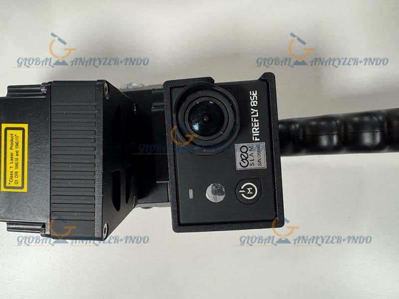
Real-Time SLAM Technology
Equipped with SLAM (Simultaneous Localization and Mapping) technology, the device produces 3D maps instantly. Therefore, users can verify scan quality in real time and adjust their workflow as needed.
Lightweight and Portable Design
Weighing only a few kilograms, the ZEB REVO RT is easy to carry and operate. This portability makes it ideal for confined spaces, uneven terrain, and complex industrial sites.
Accurate and Detailed 3D Data Capture
The device captures high-resolution 3D point clouds, enabling precise measurements and detailed visualization. As a result, teams can identify structural issues or spatial conflicts quickly.
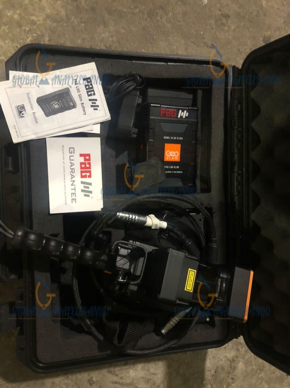
User-Friendly Software Integration
The ZEB REVO RT integrates seamlessly with GeoSLAM Hub and other software platforms. Consequently, users can process, analyze, and share 3D maps efficiently.
Applications of GeoSLAM ZEB REVO RT
Mining and Quarry Mapping
In mining operations, accurate spatial data is crucial for safety and operational planning. Therefore, the ZEB REVO RT allows surveyors to map underground tunnels and open-pit sites with speed and precision.
Construction and Infrastructure Surveys
For construction projects, capturing real-time 3D models helps teams monitor progress and detect deviations from design plans. As a result, costly errors and delays are minimized.
Facility Management
In industrial facilities, the ZEB REVO RT can generate up-to-date 3D models for asset management and maintenance planning. This reduces downtime and improves operational efficiency.
Environmental and Forestry Applications
The portable scanner can also be used for environmental monitoring, forestry surveys, and vegetation mapping. Moreover, it helps researchers collect accurate spatial data in remote locations.
Benefits of Using GeoSLAM ZEB REVO RT
Faster Data Collection
Compared to traditional surveying methods, real-time mobile mapping significantly speeds up data collection. Consequently, teams save time and resources.
Enhanced Safety
By enabling remote scanning in hazardous or difficult-to-reach areas, the ZEB REVO RT improves operator safety. Furthermore, it reduces the need for scaffolding, ropes, or other risky access methods.
High-Quality 3D Models
Real-time scanning produces accurate, detailed 3D point clouds suitable for design, inspection, and reporting purposes.
Cost Efficiency
Early detection of spatial issues and rapid mapping reduce project delays and operational costs, making it a valuable investment for organizations.
Who Should Use GeoSLAM ZEB REVO RT?
Surveying and Mapping Professionals
Surveyors benefit from faster, more flexible data collection for both indoor and outdoor environments.
Construction and Project Managers
Managers can monitor progress, verify as-built conditions, and plan resources effectively using accurate 3D maps.
Industrial and Facility Engineers
Engineers can perform inspections, measure structural changes, and maintain assets efficiently without disrupting operations.
Why Choose GeoSLAM ZEB REVO RT?
The GeoSLAM ZEB REVO RT stands out for its combination of real-time mapping, portability, and high-accuracy data capture. Moreover, it is suitable for a wide range of industries, enabling teams to work smarter, safer, and faster.


There are no reviews yet.