
Gexcel Heron MS Twin Color Portable Mapping System
Introduction to the Gexcel Heron MS
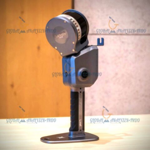
The Gexcel Heron MS Twin Color Portable Mapping System is a high-performance, versatile 3D mapping solution designed for professionals who require fast, accurate, and portable data capture. As the demand for detailed spatial data grows, this system offers a combination of speed, precision, and mobility, making it ideal for surveying, construction, industrial inspection, and heritage documentation.
Moreover, the twin-color laser design ensures enhanced data quality and visual clarity. Therefore, it provides users with reliable results even in complex environments where standard mapping systems may struggle.
Key Features of the Heron MS Twin Color
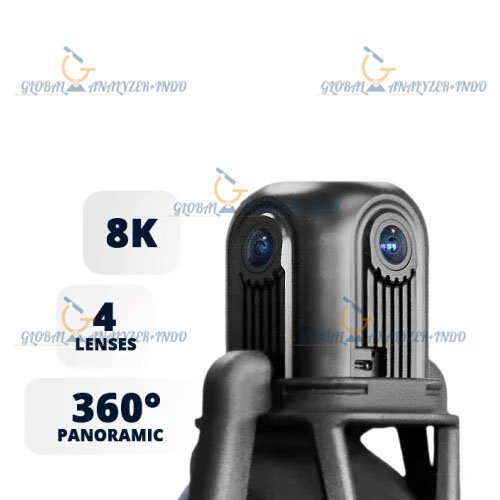
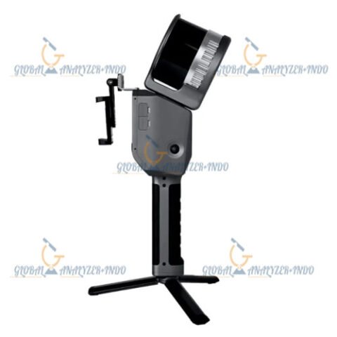
Twin Color Laser Technology
The Heron MS features dual-color laser scanning, which enhances visibility and contrast in point clouds. As a result, users obtain more detailed and distinguishable 3D models, making data interpretation easier and more accurate.
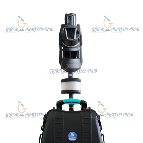
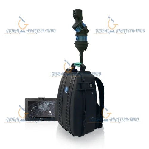
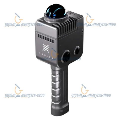
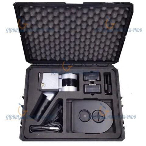
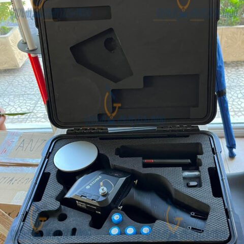
Portable and Lightweight Design
First of all, the Heron MS is built for portability. Because of its compact size and lightweight structure, operators can carry it effortlessly across sites and capture 3D data in hard-to-reach areas. This makes it highly suitable for fieldwork in both indoor and outdoor settings.
High-Resolution 3D Mapping
The system produces dense and accurate point clouds, capturing intricate details of objects and environments. Consequently, it supports precision applications such as digital twin creation, topographic surveys, and industrial inspection.
Fast Data Capture and Processing
In addition, the Heron MS provides rapid scanning and real-time visualization, reducing project time and minimizing errors. Therefore, users can monitor data quality on-site and adjust scanning paths as needed.
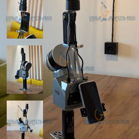
Design and Usability
User-Friendly Interface
The Heron MS includes an intuitive interface that simplifies operation. Thus, even operators with minimal training can generate professional-grade results efficiently.
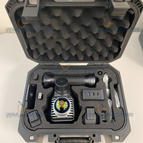
Quick Deployment
Unlike traditional stationary mapping systems, the Heron MS can be deployed and ready for scanning within minutes. As a result, project teams save significant time and resources during field operations.
Applications of the Gexcel Heron MS
Surveying and Topographic Mapping
The portable mapping system is ideal for topographic surveys, building documentation, and geospatial analysis. In addition, it provides reliable point cloud data for civil engineering and construction projects.
Industrial and Infrastructure Inspection
Professionals can use the Heron MS to inspect industrial sites, verify structural layouts, and monitor asset conditions. Its portability allows access to confined or challenging spaces safely and efficiently.
Cultural Heritage and Archaeology
The twin-color laser scanning technology captures fine details of monuments, artifacts, and heritage sites. Consequently, the Heron MS supports documentation, preservation, and restoration workflows.
Digital Twin and BIM Integration
High-resolution point clouds from the Heron MS support digital twin creation and BIM applications. Therefore, organizations can streamline asset management, planning, and operational decision-making.
Advantages of Using the Gexcel Heron MS
Enhanced Data Quality
With its twin-color lasers, the system produces clear, high-resolution point clouds. As a result, professionals can trust the data for precise modeling, measurements, and visualization.
Increased Mobility and Efficiency
The portable design enables scanning in multiple environments, both indoors and outdoors. Therefore, teams can complete projects faster than using conventional stationary mapping systems.
Cost-Effective Mapping Solution
By reducing the need for complex setups and external equipment, the Heron MS provides a cost-efficient solution without compromising scanning performance or data accuracy.
Data Quality and Output
High-Density Point Clouds
The Heron MS delivers dense, accurate 3D point clouds suitable for CAD, BIM, GIS, and visualization software. Consequently, it enables detailed analysis and reliable documentation.
Flexible Export Options
Captured data can be exported in standard file formats, ensuring seamless integration with existing workflows and software platforms.
Software specifications
Software name
HERON Desktop, Reconstructor, Reconstructor Viewer, GoBlueprint
Output data [point cloud, images, mesh, …]
point clouds, images, meshes, trajectories, orthophotos/x-ray orthophotos (direct export to AutoCAD™), volumes, areas, cross-sections
Output file formats
.e57, .las, .ply, export in ReCap
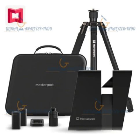
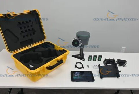
INCLUDED :
6M Telescopic Pole
Tilt Adapter
2M Telescopic Pole
Centering Tip
Ring Led Light
Car Mount
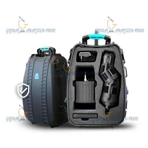
Lightweight Backpack
Shoulder Trap
Extra Battery
Rugged Bacpack
There are no reviews yet.