
CHCNAV RS10 Laser Scanner: Integrated Mobile Mapping Solution
The CHCNAV RS10 Laser Scanner is an advanced mobile mapping system that combines laser scanning, GNSS, and imaging technologies in a compact design. It is built to support efficient and accurate data collection for surveying, mapping, and infrastructure applications.
What Is the CHCNAV RS10 Laser Scanner?
The CHCNAV RS10 is a portable laser scanning system designed to capture high-density 3D data while on the move. By integrating multiple sensors into one device, it enables professionals to collect reliable spatial information in dynamic environments.
Core Function of the RS10
Capture 3D point cloud data efficiently
Support mobile and wearable scanning workflows
Improve productivity in large-scale mapping tasks
Key Features of the CHCNAV RS10
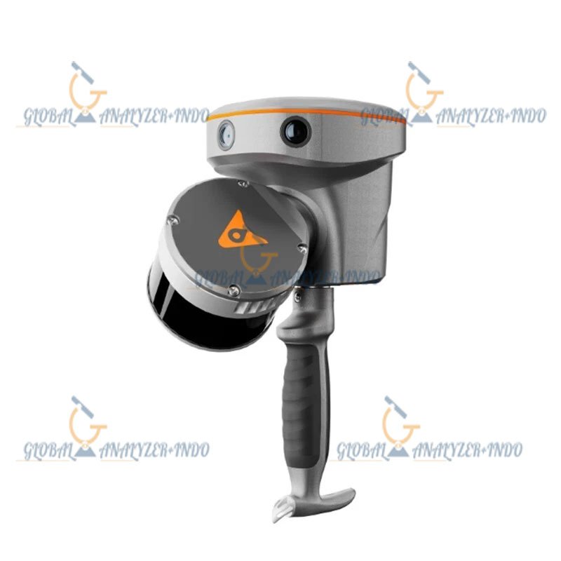
Integrated Laser Scanning Technology
The RS10 uses advanced laser scanning technology to record dense and accurate point clouds suitable for detailed mapping and analysis.
GNSS and IMU Integration
Built-in GNSS and inertial sensors support precise positioning, even in complex environments, improving overall data reliability.
Multi-Camera Imaging System
The integrated camera system captures visual information that can be combined with point cloud data for better interpretation and visualization.
Technical Advantages of the CHCNAV RS10
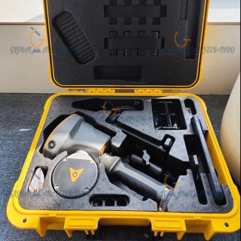
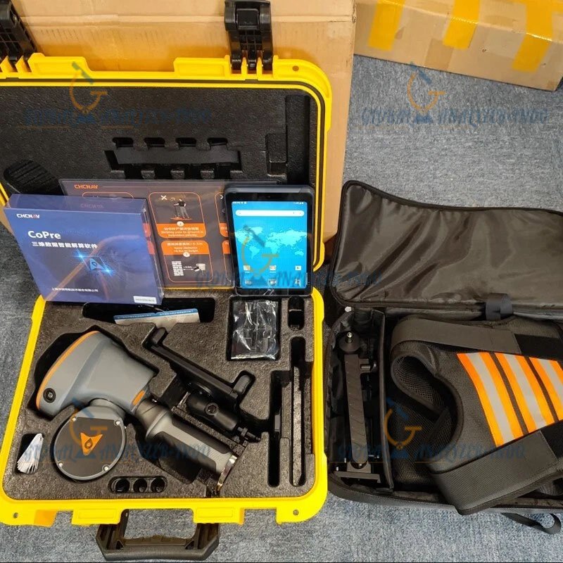
Lightweight and Portable Design
The compact form factor allows easy deployment for mobile mapping, handheld use, or wearable configurations.
Efficient Data Collection Workflow
The RS10 enables continuous scanning while moving, reducing field time and increasing operational efficiency.
Compatibility with Professional Software
Collected data can be processed and analyzed using professional mapping and point cloud software, supporting various project workflows.
Applications of the CHCNAV RS10 Laser Scanner
Surveying and Mapping
Surveyors can use the RS10 for corridor mapping, topographic surveys, and urban data collection.
Infrastructure Inspection
The system supports inspection of roads, railways, bridges, and utilities with minimal disruption to operations.
Smart City and Urban Planning
The RS10 helps capture detailed urban environments for planning, monitoring, and digital twin development.
Forestry and Environmental Mapping
Suitable for capturing terrain and vegetation data in natural environments.
Benefits of Using the CHCNAV RS10
Increased Field Efficiency
Mobile data capture significantly reduces survey time compared to static scanning methods.
High-Quality Spatial Data
Dense point clouds and integrated imagery provide accurate and detailed datasets.
Flexible Deployment Options
The RS10 can adapt to various use cases, from handheld mapping to wearable or vehicle-assisted workflows.
Why Choose the CHCNAV RS10 Laser Scanner?
The CHCNAV RS10 Laser Scanner is ideal for professionals who need a flexible and integrated mobile mapping solution. Its combination of laser scanning, positioning, and imaging technologies makes it a practical choice for modern surveying and mapping projects.

There are no reviews yet.