


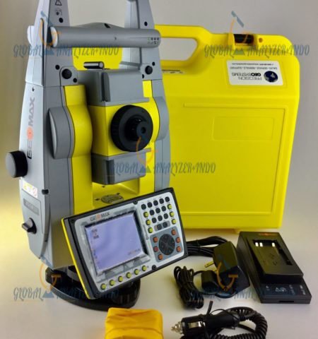
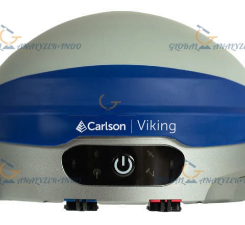
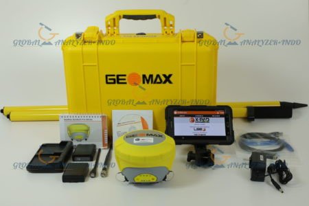
Sokkia GCX3 GNSS Receiver
The Sokkia GCX3 GNSS Receiver is a high-precision positioning solution designed to support accurate data collection in surveying, construction, and geospatial applications. In projects where precision and reliability are essential, advanced GNSS technology plays a critical role. Therefore, the GCX3 receiver enables professionals to achieve consistent positioning results across diverse working environments.
Introduction to Sokkia GCX3 GNSS Technology
Modern surveying and construction projects require accurate positioning data to ensure efficiency and quality. However, challenging site conditions can affect measurement accuracy. For this reason, the Sokkia GCX3 GNSS Receiver integrates advanced satellite tracking technology with robust signal processing to deliver reliable performance in real-world conditions.
Purpose of GNSS Positioning in Surveying
The primary purpose of GNSS positioning is to determine accurate geographic coordinates using satellite signals. As a result, surveyors and engineers can collect precise spatial data for mapping, layout, and monitoring tasks. Moreover, reliable GNSS measurements support better planning and project execution.
Sokkia Expertise in Positioning Solutions
Sokkia is widely recognized for its expertise in surveying and positioning technology. Consequently, the GCX3 GNSS Receiver reflects this experience by combining precision, durability, and user-friendly operation in a compact device.
Key Features of Sokkia GCX3 GNSS Receiver
The GCX3 is engineered to meet the demands of professional users. In addition, its features focus on accuracy, connectivity, and operational efficiency.
High-Accuracy GNSS Performance
Accurate positioning is the foundation of reliable survey results. Therefore, the Sokkia GCX3 GNSS Receiver is designed to deliver precise measurements even in challenging environments. Furthermore, advanced signal tracking improves data consistency.
Multi-Constellation Satellite Tracking
Modern GNSS applications benefit from access to multiple satellite systems. As a result, the GCX3 supports multi-constellation tracking to enhance availability and reliability. Moreover, this capability improves performance in areas with limited sky visibility.
Reliable Communication and Data Transfer
Efficient data exchange is essential for field operations. Consequently, the GCX3 GNSS Receiver provides stable communication options that support real-time data transmission. As a result, workflows are streamlined and productivity is improved.
Applications of Sokkia GCX3 GNSS Receiver
The versatility of the GCX3 makes it suitable for a wide range of professional applications. Therefore, it is commonly used across surveying, construction, and infrastructure projects.
Land Surveying and Mapping
In land surveying, accurate positioning data is essential for mapping and boundary determination. As a result, the GCX3 GNSS Receiver supports precise data collection for topographic surveys and geospatial analysis.
Construction Layout and Monitoring
Construction projects require accurate layout and monitoring to ensure design compliance. Therefore, the GCX3 helps professionals position structures correctly and monitor site progress efficiently.
Infrastructure and Utility Projects
Infrastructure development relies on precise spatial data. Consequently, the GCX3 GNSS Receiver supports utility mapping, road construction, and asset management applications. Moreover, accurate positioning reduces rework and project delays.
Benefits of Using Sokkia GCX3 GNSS Receiver
Organizations that implement the GCX3 gain several operational advantages. In addition, these benefits support improved efficiency and data quality.
Improved Measurement Accuracy
High-precision GNSS performance ensures reliable results. Therefore, professionals can trust the data collected for critical decision-making.
Increased Field Productivity
Efficient data collection reduces time spent on site. As a result, teams can complete surveys faster and move on to the next task.
Durable Design for Field Conditions
Field environments can be demanding. Consequently, the GCX3 is designed with durability in mind, allowing reliable operation in various weather and site conditions.
Specifications:
Tracking Capability
– Number of Channels: 226 channels
– Tracked Signals:
* GPS L1 C/A, L1C, L2P, L2C
* GLONASS L1 C/A, L1P, L2 C/A, L2P
* BeiDou B1, B2
* Galileo E1
* SBAS L1 C/A WAAS/MSAS/EGNOS/GAGAN
* QZSS L1 C/A, L1C, L2C
– Antenna Type: Integrated antenna
Positioning Accuracy
– Static/Fast Static: H: 3.0 mm + 0.4 ppm, V:5.0 mm + 0.6 ppm
– Precision Static: H: 3.0 mm + 0.1 ppm, V:3.5 mm + 0.4 ppm
– RTK (L1+ L2): H:10 mm + 0.8 ppm, V:15 mm + 1.0 ppm
– DGPS: H: 0.4 m, V: 0.6 m
– SBAS: H: 0.8 m, V: 1 m
– Maximum Data Rate: 10 Hz
Data Management
– Memory: Internal non-removable memory up to 8GB
– Real Time Data Output: TPS, RTCM SC104 v2.x, 3.x and MSM, CMR/CMR+
– ASCII Output: NMEA 0183 version 2.x, 3.x and 4.x
– Communication Ports: Bluetooth USB 2.0 High Speed Device
Wireless Communication
– Bluetooth Modem: v2.1 + EDR
– RTK Communication:
* Through cellulae enable field controllers
* Up to 300 meters with simultaneous rovers using wireless multi-channel long-range Bluetooth tehnology RTK corrections
General
– Dust/Water Rating: IP67
– Humidity: 100% condensing
– Operating Temperature:
* -20°C to 63°C (with internal batteries)
* -40°C to 63°C (with external power)
– Display Type: LED user interface
– Dimensions (w x h x l): 47 x 197 x 47 mm
– Weight (including batteries): 440 g
Power Supply
– Battery Type: Internal non- removable
– Operating Time: All day operation in any configuration (up to 10 hours)
– External Power Connector: Service port (shared with USB 2.0 communication)

There are no reviews yet.