
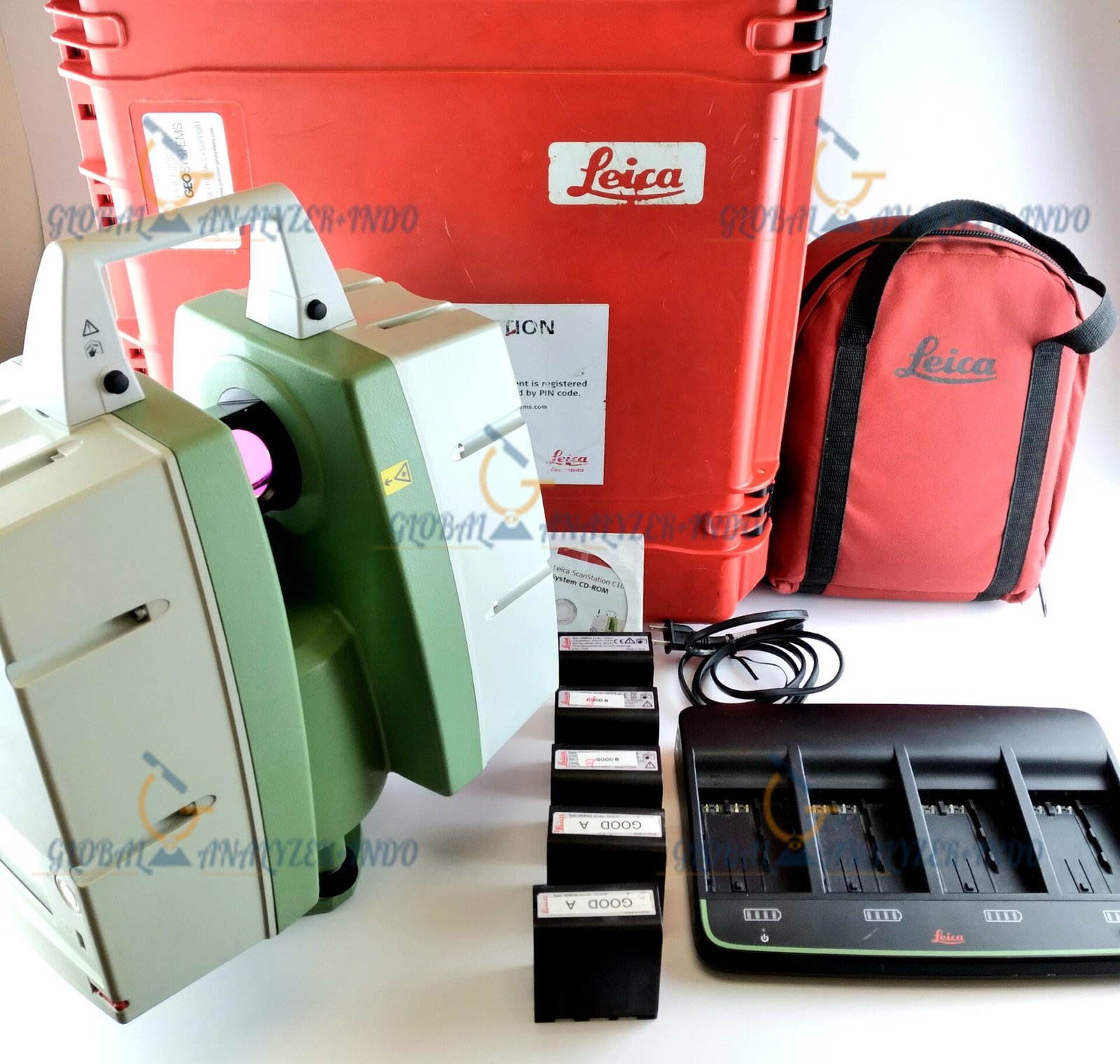
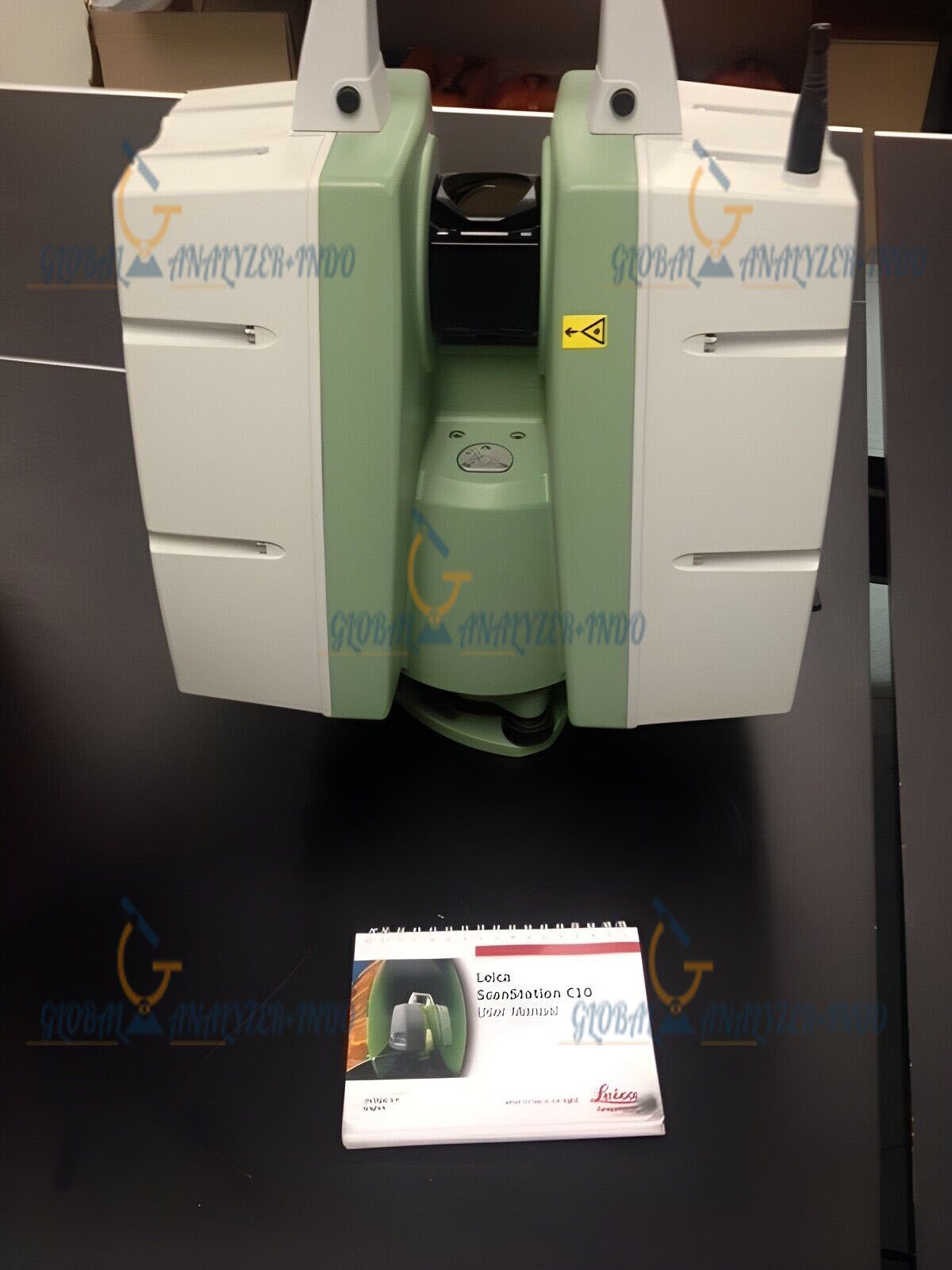
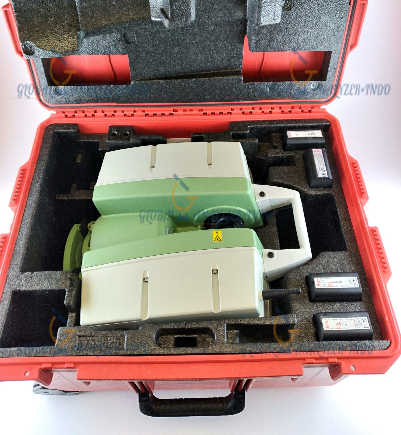
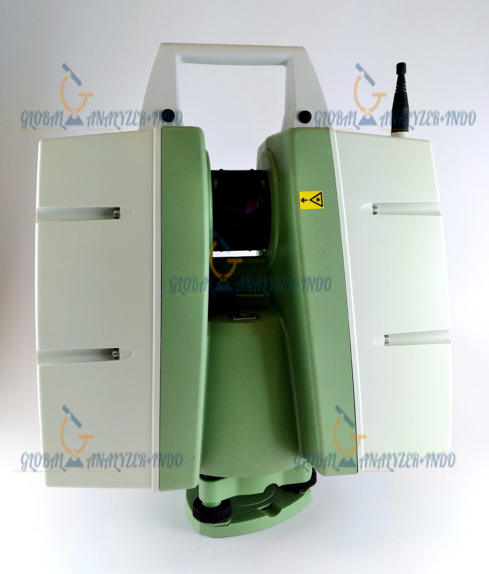
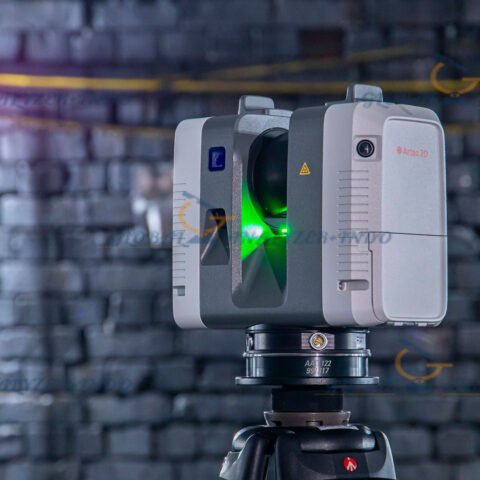
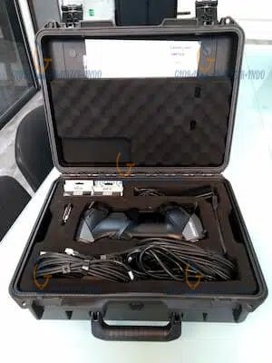
Leica ScanStation C10 3D Laser Scanner for Professional Surveying and Mapping
The Leica ScanStation C10 3D Laser Scanner is a reliable solution for high-accuracy 3D data capture in surveying, engineering, and construction projects. As project requirements continue to grow in complexity, professionals need precise and efficient scanning technology. Therefore, the ScanStation C10 helps users capture detailed spatial data with confidence.
Moreover, its robust design and proven performance make it suitable for both indoor and outdoor scanning applications. As a result, survey teams can rely on consistent data quality across different environments.
What Is the Leica ScanStation C10?
Overview of 3D Laser Scanning Technology
3D laser scanners measure millions of points by emitting laser pulses and capturing reflected signals. Consequently, they generate highly detailed point clouds that represent real-world objects and environments.
In addition, this technology enables accurate documentation of structures, terrain, and assets without physical contact.
Purpose of the ScanStation C10
The ScanStation C10 is designed to deliver precise 3D measurements for professional applications. Therefore, users rely on it for surveying, modeling, and inspection tasks where accuracy and reliability are essential.
Key Features of Leica ScanStation C10 3D Laser Scanner
High-Accuracy 3D Data Capture
The C10 provides precise point cloud data with consistent accuracy. As a result, users can trust the captured measurements for analysis and design.
Long-Range Scanning Capability
With extended scanning range, the scanner efficiently captures large areas and structures. Moreover, this capability reduces the number of scanning positions required on site.
Integrated Digital Imaging
The system includes integrated imaging to enhance visual context. Consequently, users can combine color information with point cloud data for improved visualization.
Rugged and Weather-Resistant Design
The ScanStation C10 is built for demanding environments. Therefore, it performs reliably in construction sites, industrial facilities, and outdoor survey locations.
Applications of Leica ScanStation C10
Land Surveying and Mapping
Surveyors use the C10 to capture terrain and infrastructure data accurately. As a result, mapping and planning tasks become more efficient.
Construction and Engineering Projects
Engineers rely on 3D scan data to support design verification and as-built documentation. Therefore, project coordination and accuracy improve.
Industrial Plant and Facility Documentation
The scanner supports detailed documentation of industrial plants and facilities. Consequently, maintenance planning and asset management become more effective.
Heritage and Building Documentation
Professionals also use the C10 to document historical structures. As a result, preservation efforts benefit from accurate and detailed 3D records.
Benefits of Using Leica ScanStation C10
Non-Contact and Safe Data Collection
Laser scanning captures data without physical contact. Therefore, users can work safely in hazardous or hard-to-reach areas.
Improved Workflow Efficiency
Fast data capture reduces time spent on site. Moreover, accurate data minimizes rework during processing and modeling stages.
Reliable and Repeatable Results
The C10 delivers consistent results across multiple projects. Consequently, teams can maintain data quality standards.
Versatile Application Support
The scanner adapts to a wide range of industries. Therefore, it remains a valuable investment for diverse professional needs.
Who Should Use Leica ScanStation C10?
Surveying Professionals
Surveyors benefit from accurate and efficient 3D data capture for mapping and analysis.
Civil and Structural Engineers
Engineers use scan data to support design validation and construction monitoring.
Construction and Facility Managers
Managers rely on 3D documentation to improve planning, maintenance, and asset tracking.
Why Choose Leica ScanStation C10 3D Laser Scanner?
The Leica ScanStation C10 3D Laser Scanner combines accuracy, durability, and versatility. Moreover, its proven performance and user-friendly operation make it a trusted choice for professionals who require dependable 3D scanning solutions.


There are no reviews yet.