
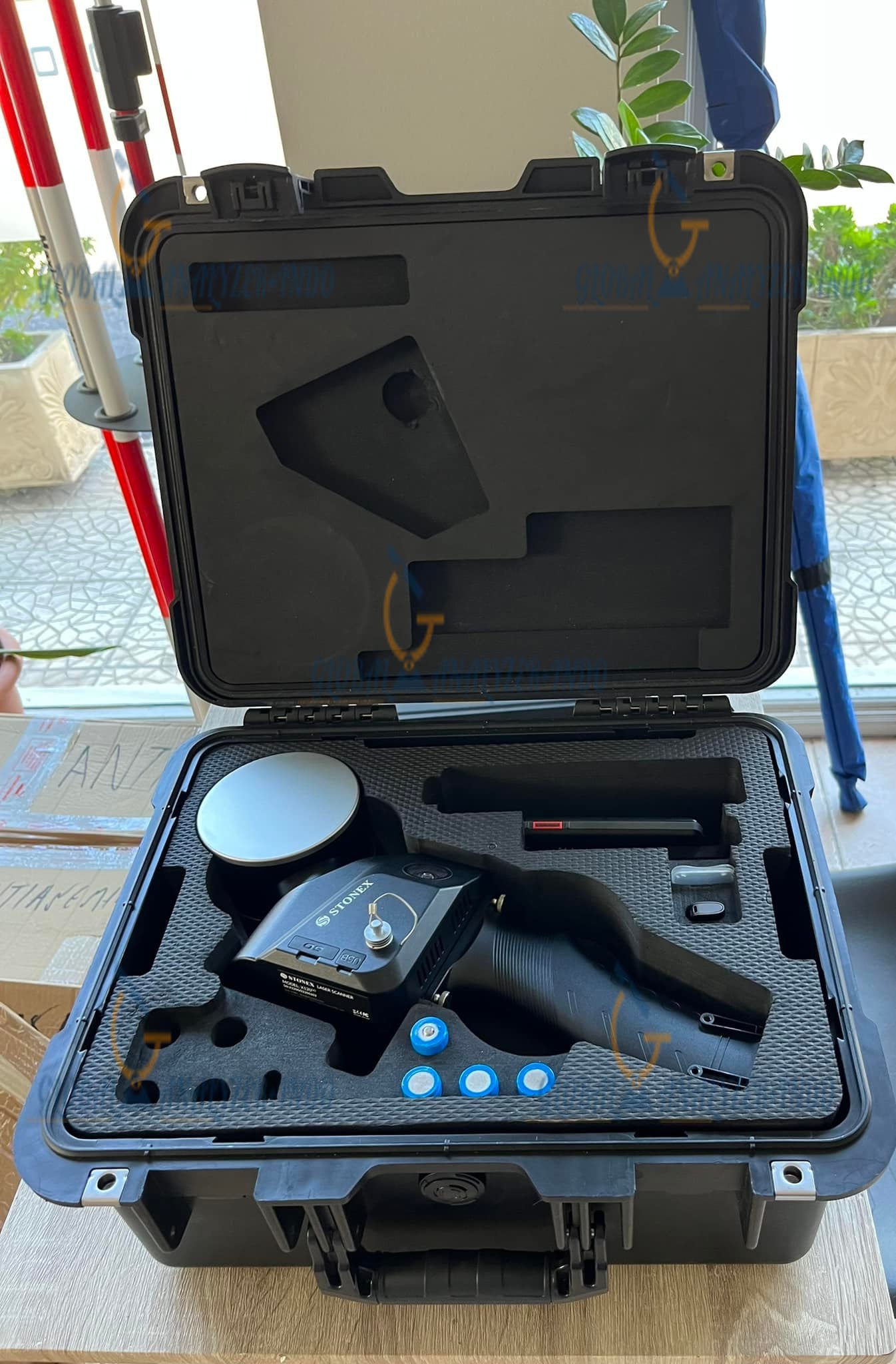
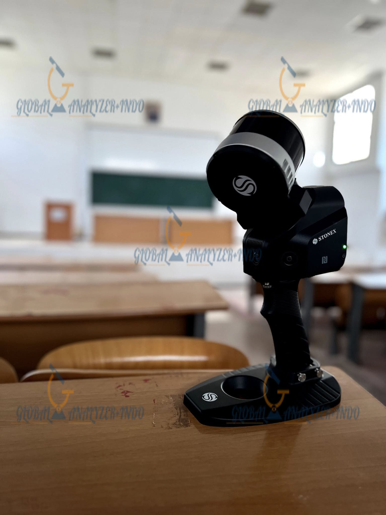
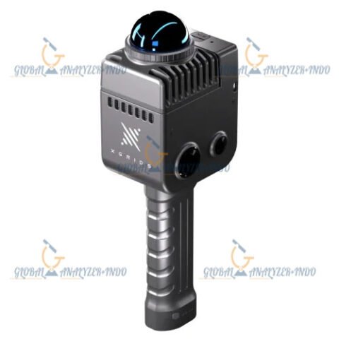
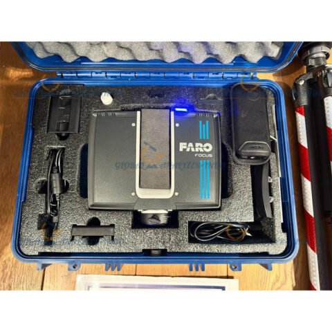
STONEX SLAM X120GO: Smart Mobile Mapping for Efficient 3D Data Capture
Modern surveying demands speed and adaptability. Therefore, STONEX SLAM X120GO delivers a practical solution for professionals who need reliable 3D mapping in complex environments. Moreover, this mobile mapping system enables teams to capture spatial data efficiently without depending fully on traditional positioning methods.
What Is STONEX SLAM X120GO?
STONEX SLAM X120GO is a portable mobile mapping system that applies Simultaneous Localization and Mapping (SLAM) technology. As a result, users generate accurate spatial data while moving freely through different environments.
How SLAM Technology Supports Mapping
SLAM technology allows the system to track movement and build a 3D map at the same time. Consequently, users maintain consistent data quality even when GNSS signals are limited.
Designed for Mobility and Control
Unlike static scanning solutions, STONEX SLAM X120GO focuses on mobility. Therefore, surveyors move naturally through sites while collecting continuous data.
Key Features
Compact and Ergonomic Design
First of all, the lightweight structure supports long working sessions. In addition, the ergonomic design helps operators maintain comfort throughout the survey.
Fast and Continuous Data Capture
Moreover, the system captures data while users walk. As a result, teams complete fieldwork faster without interrupting the scanning process.
Adaptability Across Environments
STONEX SLAM X120GO performs effectively indoors and outdoors. For example, users apply it in buildings, industrial facilities, corridors, and urban areas.
Benefits
Higher Productivity in the Field
Because teams collect data faster, they complete projects in less time. Therefore, organizations increase productivity without expanding resources.
Simplified Surveying Workflow
Traditional surveying often requires complex setups. However, STONEX SLAM X120GO simplifies field operations and reduces preparation time.
Optimized Project Costs
As a result of faster workflows and reduced labor needs, companies manage project budgets more efficiently.
Applications
Surveying and 3D Mapping
Primarily, professionals use the system to create detailed 3D maps. Moreover, it supports projects in areas where conventional methods struggle.
Construction and Architectural Documentation
During construction, teams need accurate as-built data. Therefore, STONEX SLAM X120GO helps document progress and site conditions clearly.
Infrastructure and Facility Management
In addition, operators map tunnels, warehouses, and industrial sites efficiently. Consequently, managers gain better control over assets and maintenance planning.
Engineering and Urban Planning
Meanwhile, engineers and planners rely on consistent spatial data for design analysis and informed decision-making.
Why Choose STONEX SLAM X120GO?
Trusted Expertise from STONEX
STONEX develops proven geospatial solutions. Therefore, professionals trust the SLAM X120GO for reliable performance in demanding conditions.
Flexible and Future-Ready Technology
As SLAM technology continues to advance, this system remains relevant. Consequently, organizations secure a long-term mapping solution.
Seamless Workflow Integration
Finally, users integrate the captured data into common GIS and 3D modeling platforms. As a result, post-processing becomes faster and more efficient.


There are no reviews yet.