
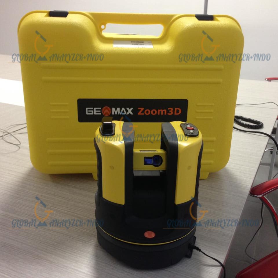
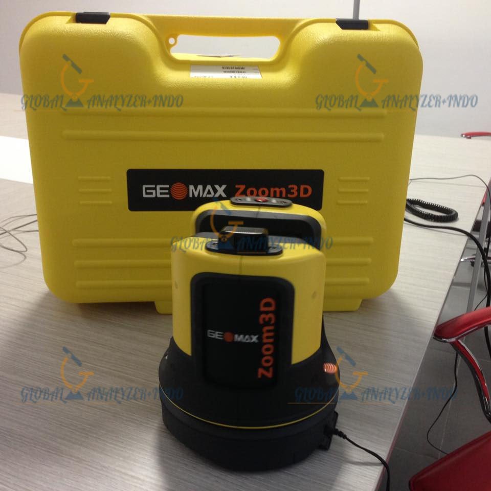
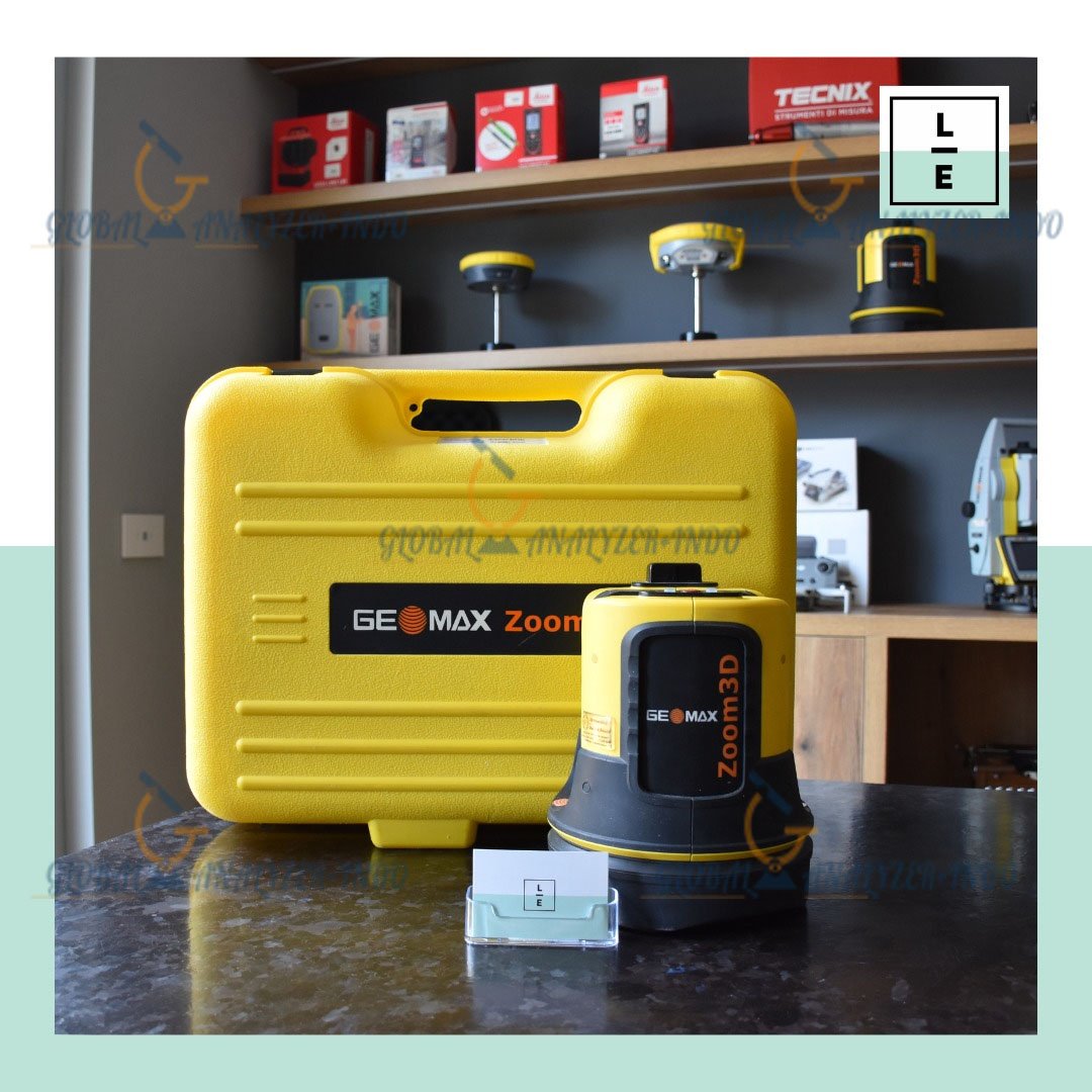
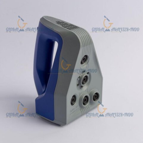
GeoMax Zoom3D: Reliable 3D Laser Scanning for Construction and Surveying
The GeoMax Zoom3D is a professional 3D laser scanning solution designed to support accurate measurement and digital documentation in construction and surveying projects. Built with practicality and efficiency in mind, it helps professionals capture detailed spatial data quickly and reliably.
What Is the GeoMax Zoom3D?
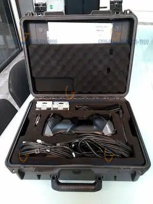
The GeoMax Zoom3D is a terrestrial 3D laser scanner developed to deliver precise point cloud data for a wide range of field applications. It is suitable for users who need dependable 3D scanning technology without complex workflows.
Main Purpose of the GeoMax Zoom3D
Capture accurate 3D measurements on site
Create reliable digital representations of structures
Support planning, monitoring, and documentation tasks
Key Features of the GeoMax Zoom3D
High-Accuracy 3D Scanning
The Zoom3D provides consistent and precise measurement results, allowing users to confidently document buildings, terrain, and infrastructure.
Efficient Data Capture
Optimized scanning speed enables fast data collection, reducing time spent on site while maintaining data quality.
Integrated Imaging System
The scanner includes an imaging system that adds color information to point cloud data, improving visualization and interpretation.
Technical Advantages of the GeoMax Zoom3D
User-Friendly Operation
The intuitive interface allows surveyors and construction professionals to operate the scanner with minimal training.
Compact and Robust Design
Designed for field conditions, the GeoMax Zoom3D is easy to transport and reliable in demanding environments.
Smooth Software Compatibility
Scan data can be processed using professional point cloud and surveying software, supporting efficient project workflows.
Applications of the GeoMax Zoom3D
Construction and As-Built Documentation
The Zoom3D is widely used to capture as-built conditions, supporting progress tracking and quality control.
Surveying and Geomatics
Surveyors use the scanner to collect accurate spatial data for mapping, volume calculation, and site analysis.
Infrastructure and Facility Management
The system supports digital documentation of infrastructure and facilities for maintenance and long-term planning.
Architecture and Renovation Projects
Accurate 3D data helps architects and engineers plan renovations and validate design accuracy.
Benefits of Using the GeoMax Zoom3D
Improved Productivity
Fast scanning and simple operation reduce field time and increase overall project efficiency.
Reliable Data Quality
Consistent point cloud accuracy ensures dependable results for professional decision-making.
Cost-Effective 3D Scanning
The GeoMax Zoom3D provides a practical balance between performance and investment value.
Why Choose the GeoMax Zoom3D?
The GeoMax Zoom3D is an excellent choice for professionals seeking a reliable and easy-to-use 3D laser scanner. It offers dependable accuracy, efficient workflows, and a design tailored to real-world construction and surveying needs.


There are no reviews yet.