
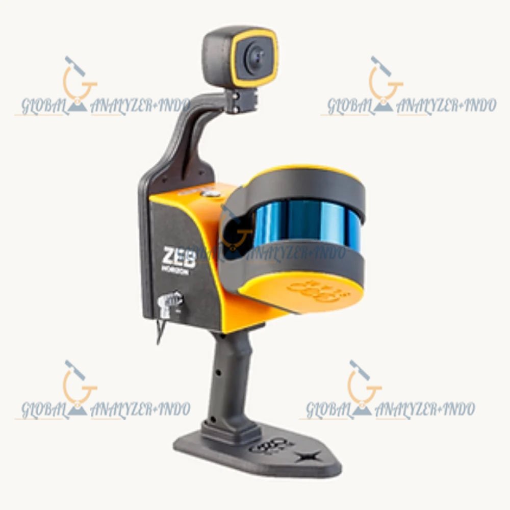
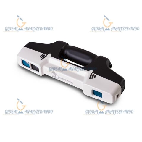
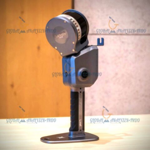
GeoSLAM ZEB Vision 3D Mobile Scanner: Advanced Reality Capture for Indoor and Outdoor Mapping
The GeoSLAM ZEB Vision 3D Mobile Scanner is a powerful reality capture solution designed for fast and accurate 3D data collection. By combining mobile scanning technology with high-resolution imaging, this system enables professionals to capture detailed spatial information efficiently, even in complex environments.
Overview of the GeoSLAM ZEB Vision 3D Mobile Scanner
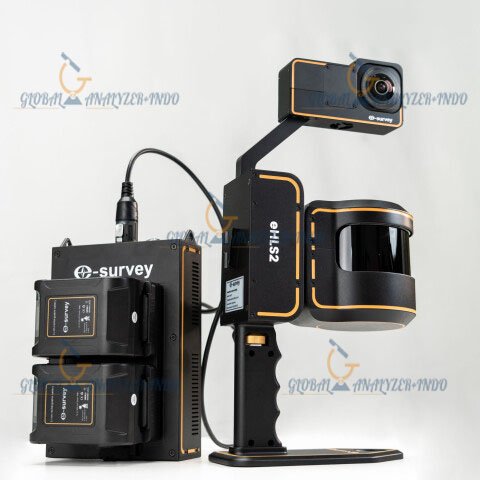
The GeoSLAM ZEB Vision delivers a seamless mobile scanning experience for surveyors, engineers, and construction professionals. This handheld system allows users to collect accurate 3D point clouds and panoramic imagery while walking through a site. Therefore, it significantly reduces data capture time compared to traditional surveying methods.
Key Features of the GeoSLAM ZEB Vision
High-Speed Mobile 3D Scanning
The scanner captures dense 3D data while in motion. As a result, users can map large areas quickly without setting up tripods or control points.
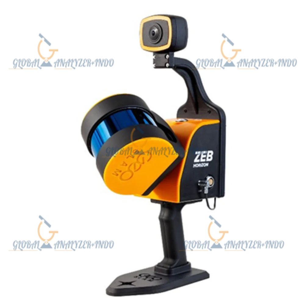
Integrated Visual Data Capture
The system integrates high-quality cameras to capture visual context alongside 3D geometry. Moreover, this combination enhances model interpretation and site understanding.
Lightweight and Portable Design
Designed for handheld operation, the ZEB Vision is easy to carry and operate. Consequently, users can perform extended scanning sessions with minimal fatigue.
Technology and Performance
SLAM-Based Mapping Technology
The GeoSLAM ZEB Vision uses Simultaneous Localization and Mapping (SLAM) technology to generate accurate 3D maps in real time. In addition, this approach allows scanning in GPS-denied environments such as tunnels and indoor spaces.
Accurate and Consistent Results
The system produces reliable point clouds with consistent accuracy. Therefore, professionals can confidently use the data for planning, design, and analysis.
Applications of the GeoSLAM ZEB Vision 3D Mobile Scanner
Construction and Building Documentation
Construction teams use the scanner to capture as-built conditions efficiently. Furthermore, the data supports progress tracking and quality assurance.
Mining and Underground Mapping
Mining professionals rely on the ZEB Vision for safe and efficient underground mapping. Additionally, it reduces exposure to hazardous environments.
Infrastructure and Facility Management
Facility managers use the scanner to create accurate digital records of buildings and infrastructure. As a result, maintenance planning and asset management become more effective.
Benefits of Choosing the GeoSLAM ZEB Vision
Faster Data Collection
Mobile scanning significantly reduces survey time. Consequently, projects progress faster with lower operational costs.
Improved Workflow Efficiency
The combination of 3D geometry and visual data streamlines post-processing and analysis. Therefore, teams can deliver results more efficiently.
Versatile Use Across Industries
The scanner supports a wide range of applications. Moreover, its adaptability makes it suitable for both indoor and outdoor environments.
Best Practices for Optimal Results
Proper Planning Before Scanning
Planning scan paths in advance helps ensure complete data coverage. Additionally, thoughtful preparation improves overall accuracy.
Regular System Checks
Routine checks and software updates maintain optimal performance. Consequently, the scanner delivers reliable results over time.


There are no reviews yet.