
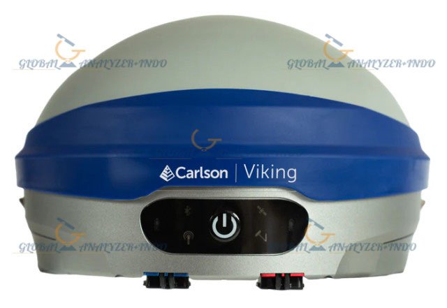
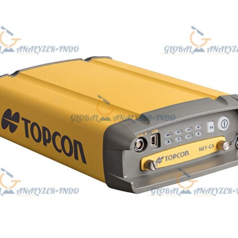
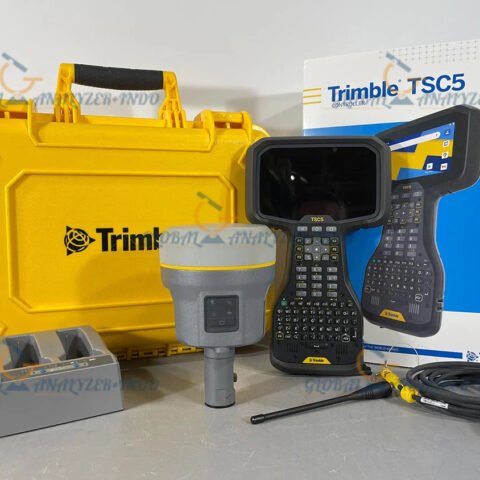
Carlson VIKING GNSS Receiver
The Carlson VIKING GNSS Receiver is a cutting-edge positioning solution designed for surveying, construction, mapping, and GIS applications. By combining advanced GNSS technology with a rugged, portable design, this receiver delivers accurate and reliable real-time positioning in a variety of field conditions.
What Is the Carlson VIKING GNSS Receiver?
The VIKING GNSS Receiver is a professional-grade GNSS device that provides precise spatial positioning for surveyors, engineers, and construction professionals. Unlike conventional instruments, it supports multiple satellite constellations and real-time correction services, ensuring accurate measurements on the spot.
Understanding GNSS Technology
GNSS technology relies on signals from global satellite constellations such as GPS, GLONASS, Galileo, and BeiDou. Consequently, the Carlson VIKING maintains high accuracy even in challenging environments. Moreover, multi-constellation support reduces the risk of signal loss and improves reliability.
Key Features of the Carlson VIKING GNSS Receiver
Multi-Constellation Tracking
The VIKING receiver tracks multiple satellite systems simultaneously. Therefore, it provides consistent positioning even in areas with partial signal obstruction.
High-Precision Real-Time Positioning
With real-time correction support, the receiver delivers centimeter-level accuracy. As a result, surveyors can complete measurements more efficiently and with confidence.
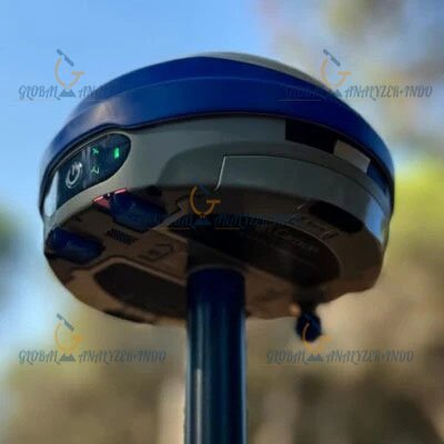
Rugged and Field-Ready Design
Designed for tough outdoor conditions, the VIKING GNSS Receiver is resistant to dust, moisture, and extreme temperatures. Consequently, it ensures reliable performance in harsh work environments.
Versatile Connectivity Options
The receiver supports multiple communication methods for real-time corrections and data transfer. This flexibility allows seamless integration with field software and workflows.
Benefits of Using the Carlson VIKING GNSS Receiver
Enhanced Surveying Productivity
Because measurements are accurate and immediate, fieldwork becomes faster and more efficient. Therefore, teams can complete projects in less time.
Reliable and Consistent Data
Accurate positioning data minimizes errors and rework. As a result, project outcomes remain consistent and dependable.
Cost-Effective Investment
Although it provides advanced technology, the durable design and performance deliver long-term value. Consequently, it is a cost-effective solution for professionals.
Applications of the Carlson VIKING GNSS Receiver
Land Surveying
The receiver is ideal for boundary surveys, topographic mapping, and control point establishment. Therefore, surveyors can achieve precise and repeatable results.
Construction and Engineering
In construction, accurate positioning is essential for layout, grading, and site verification. As a result, the VIKING supports reliable construction workflows.
GIS and Mapping Projects
The VIKING GNSS Receiver enables efficient and accurate data collection for GIS and mapping purposes, improving spatial analysis and planning.
Infrastructure Development
Furthermore, the device provides dependable positioning data for infrastructure and civil engineering projects, ensuring accuracy throughout all phases.
Why Choose the Carlson VIKING GNSS Receiver?
Trusted Brand and Proven Technology
Carlson has a strong reputation for delivering reliable surveying instruments. Consequently, the VIKING reflects the company’s expertise and engineering excellence.
High Performance with Ease of Use
By combining advanced GNSS functionality with a user-friendly interface, the receiver meets the needs of both experienced professionals and new field teams.

There are no reviews yet.