
Leica GS18 I: Advanced GNSS RTK Rover with Visual Positioning Technology
The Leica GS18 I is a high-performance, survey-grade GNSS RTK rover designed to revolutionize modern surveying workflows. Equipped with cutting-edge Visual Positioning technology, this device enables professionals to capture images on-site and measure precise points directly from those images—either immediately in the field or later in the office.
This capability makes the GS18 I an ideal choice for surveyors seeking speed, accuracy, and flexibility in challenging environments.
Key Features of the Leica GS18 I
1. Visual Positioning Powered by Sensor Fusion
The GS18 I integrates three advanced technologies—GNSS, IMU, and an onboard camera—to create a seamless Visual Positioning system. This fusion allows surveyors to measure points with survey-grade accuracy directly from captured images.
How Visual Positioning Enhances Productivity
Enables precise point measurement from images
Works effectively in both field and office environments
Reduces the need for direct physical access to difficult terrain
2. High-Speed Data Capture
The GS18 I is engineered for efficiency. Users can capture detailed site imagery and extract hundreds of measurement points in just minutes.
Benefits of Fast Image-Based Measurement
No need to physically reach every target point
Less time spent on-site
Fewer return visits, even if site conditions later change
3. Unmatched Versatility in the Field
With powerful imaging and multi-sensor capabilities, the GS18 I removes traditional fieldwork limitations. If you can see it, you can measure it—without switching tools or navigating obstacles.
Versatility Advantages
Easily measure points with limited sky visibility
Access locations that were previously out of reach for GNSS rovers
Reduce reliance on time-consuming supplemental equipment
Capture entire scenes and decide later which details to measure
4. All the Functionality of the Leica GS18 T
In addition to Visual Positioning, the GS18 I includes all the core features of the Leica GS18 T, including the ability to measure with a tilted or leveled pole.
Enhanced Measurement Capabilities
Survey-grade point collection with pole tilt freedom
Reliable results in obstructed environments
Image-based measurement with simple tap-to-measure functionality
Top Benefits of Using the Leica GS18 I
Hassle-Free Measurement Through Imaging
Captured images can be used to measure points later, even if the site changes or becomes inaccessible.
Improved Accuracy and Detail Capture
By combining GNSS precision with visual data, surveyors can ensure comprehensive project documentation.
Maximized Team Efficiency
The ability to measure points remotely frees up personnel and eliminates workflow bottlenecks.
What’s Included in the Leica GS18 I Package
Hardware Components
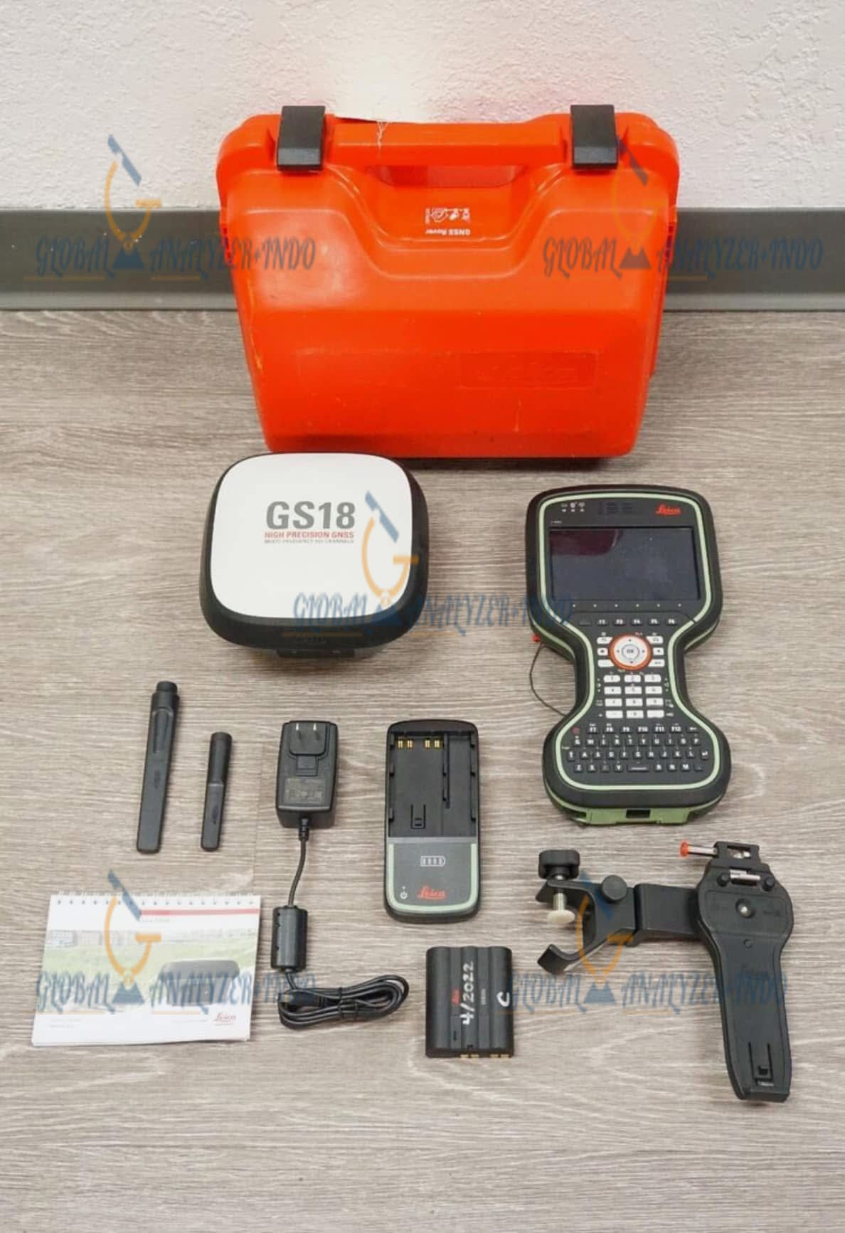
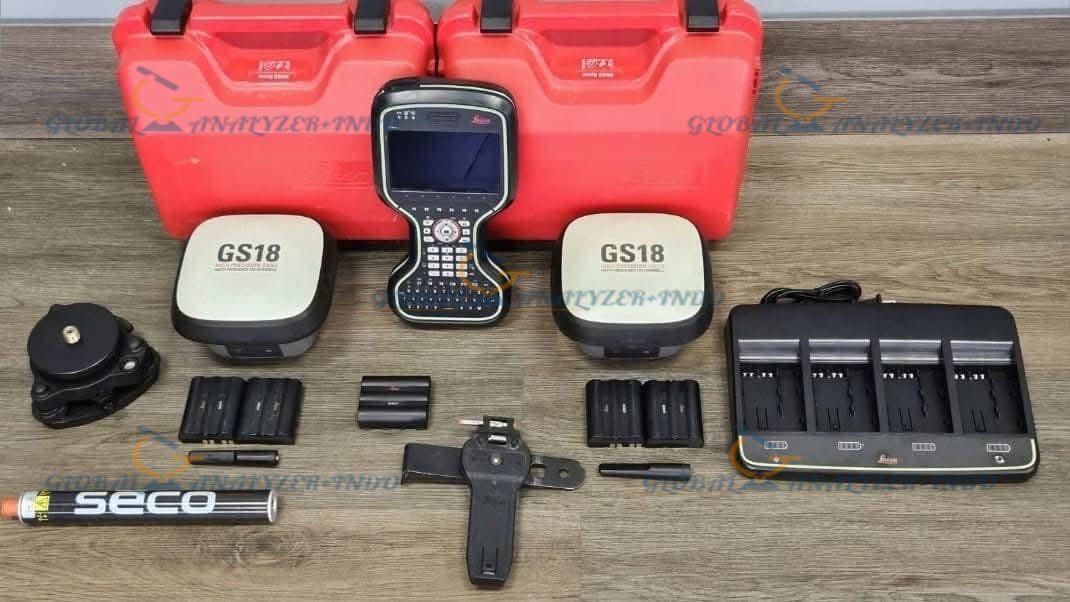
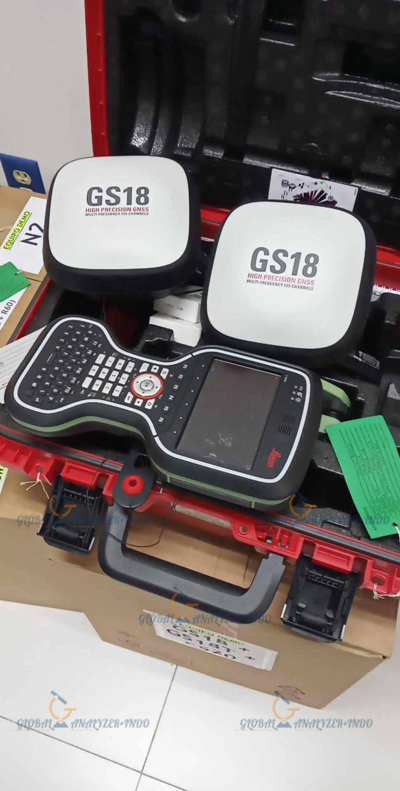
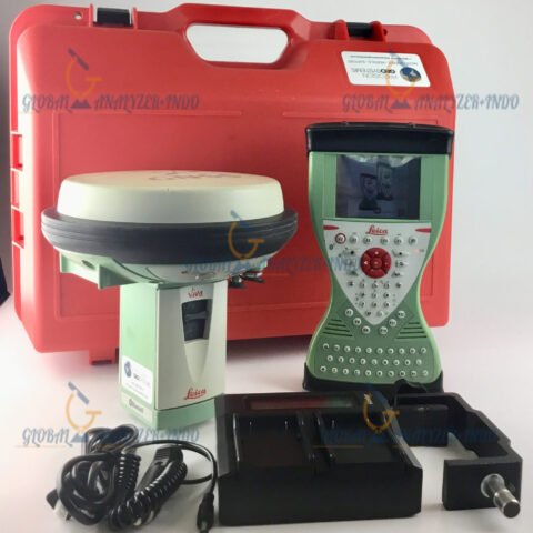
Leica Viva GS18 I LTE & UHF Performance Unit
GVP734 GNSS Rover Container
GAT27 LTE/Radio Antenna
GLS30 Carbon-Fiber GNSS Telescopic Pole
Two GEB331 Li-Ion Batteries (11.1V / 2800mAh)
CS20 LTE Field Controller
GHT66 Controller Holder Plate
GHT63 Pole Clamp
MSD1000 1GB SD Memory Card
Software & Options
Viva GNSS Commissioning
GLONASS Option (LOP60)
Galileo Option (LOP61)
Leica Exchange CS20
Leica Captivate Measure & Stakeout Modules
Leica Captivate Active Assist CS20
Charging & Maintenance
GKL341 Professional 5000 Charger
1-Year Viva GNSS Software Maintenance
1-Year Captivate Customer Support
1-Year CS20 Captivate Software Maintenance
Warranty Information
The Leica GS18 I package includes a 1-year manufacturer warranty, providing assurance and support throughout its early lifecycle.


There are no reviews yet.