
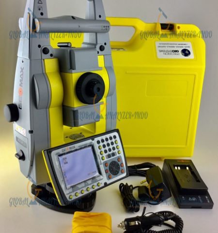
Leica GS18 I: Advanced GNSS RTK Rover With Visual Positioning Technology
The Leica GS18 I is a next-generation, survey-grade GNSS RTK rover designed for professionals who require fast, flexible, and highly accurate point measurement. With its integrated Visual Positioning technology, users can capture site images and extract precise points either directly in the field or later in the office. This breakthrough enables measurement of areas that were previously difficult or impossible to access using traditional GNSS methods.
Innovative Technology That Enhances Accuracy
Seamless Sensor Fusion
At the core of the GS18 I is the fusion of GNSS, IMU, and an onboard camera, working together to deliver unmatched visual-based measurement capabilities. This combination allows users to collect survey-grade points from images with high precision.
Create Point Clouds and Expand Capabilities
Captured imagery can be processed in Leica Infinity to generate dense point clouds, offering even more comprehensive spatial data for advanced workflows and detailed mapping.
Fast Data Collection for Maximum Efficiency
Measure Hundreds of Points in Minutes
The GS18 I is designed for high-volume data capture. Instead of walking to each point, users can simply gather site images and extract large numbers of points quickly and efficiently.
Reduce On-Site Time and Revisit Needs
Once the site has been captured in images, all details can be measured at any time—even if the landscape changes or is no longer accessible. This significantly reduces revisit costs and boosts productivity.
Versatile Performance in Any Environment
Measure What You See
With its imaging power, the GS18 I removes the need to switch instruments or navigate difficult terrain. Surveyors can measure points in hard-to-reach, obstructed, or unsafe locations without physical contact.
Built for Flexibility and Productivity
From mapping with a tilted pole to capturing obstructed points under limited sky visibility, the GS18 I allows crews to perform more tasks with fewer tools, maximizing both efficiency and profitability.
Key Advantages of the Leica GS18 I
Efficiently measure points with partial sky obstruction
Access areas unreachable by traditional GNSS rovers
Reduce reliance on additional equipment
Collect hundreds of accurate points in minutes
Capture once, measure anytime—even if conditions change
Tap directly on images to measure points in the field or office
Quickly document scenes with precise, detailed data
Visual Positioning: Technology Behind the Power
Integrated Sensors Working Together
Visual Positioning combines GNSS precision, IMU orientation, and camera imagery to create a rover capable of interpreting and measuring the environment visually.
Includes All GS18 T Functionalities
Like the GS18 T, users can measure points with the pole tilted or level, enabling more ergonomic and faster workflows without compromising accuracy.
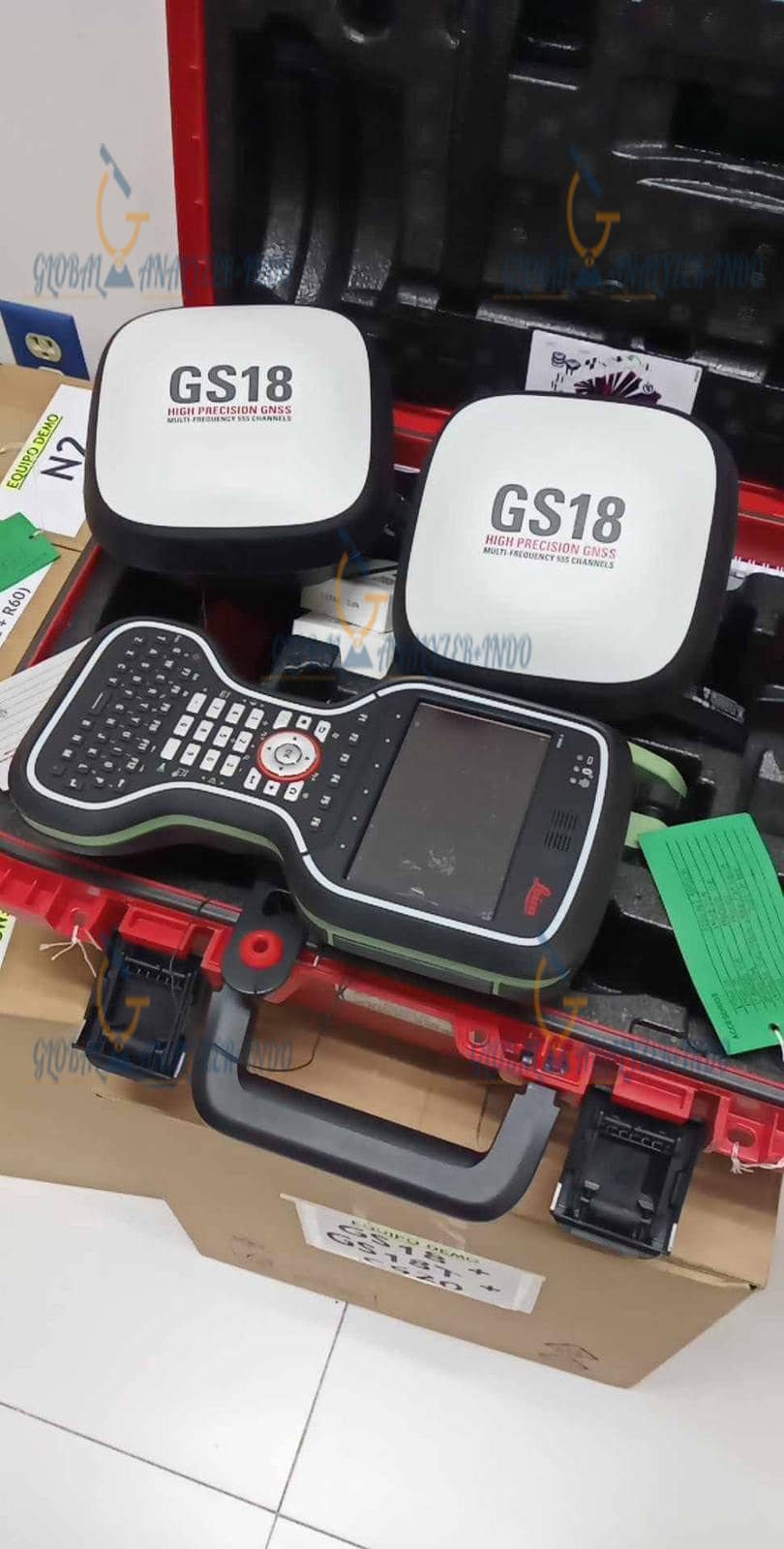
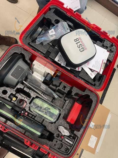
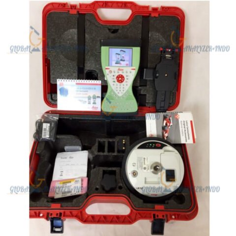
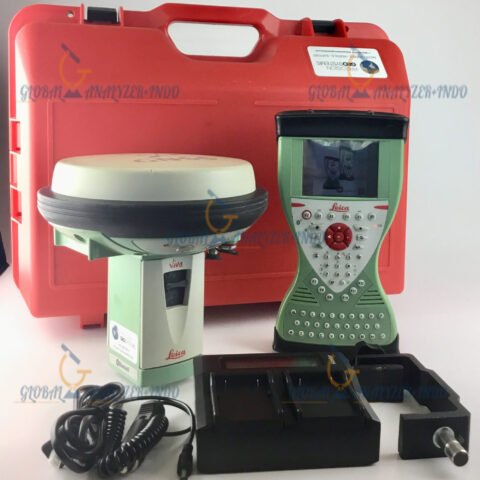
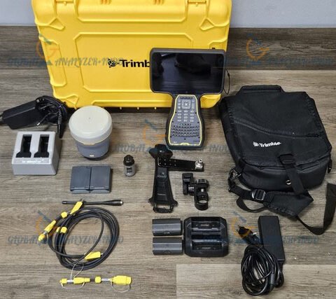
Package Contents
Included Components
Leica Viva GS18 I LTE & UHF Performance GNSS Rover
GVP734 GNSS Rover Container
GAT27 LTE/Radio Antenna
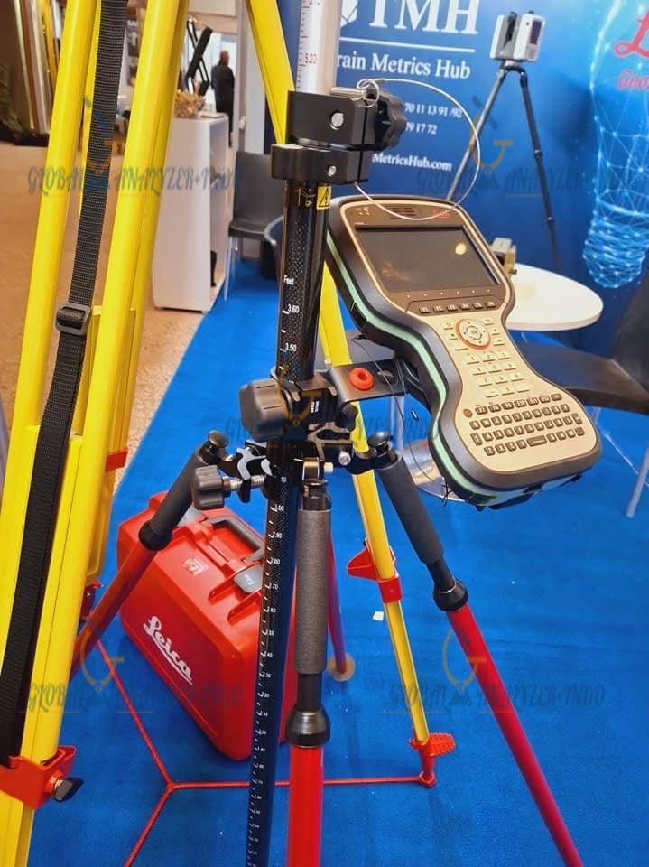
GLS30 Carbon-Fibre Telescopic Pole
(2) GEB331 Li-Ion Batteries (11.1V / 2800mAh)
Viva GNSS Commissioning
LOP60 GS18 GLONASS Option
LOP61 GS18 Galileo Option
GKL341 Professional Charger
CS20 LTE Field Controller
Leica Exchange CS20
Leica Captivate Measure & Stakeout Tools for CS20
GHT66 Controller Holder Plate
GHT63 Pole Clamp
MSD1000 1GB SD Memory Card
(2 additional) GEB331 Li-Ion Batteries
1-Year Viva GNSS Software Maintenance
1-Year Captivate Customer Support

There are no reviews yet.