
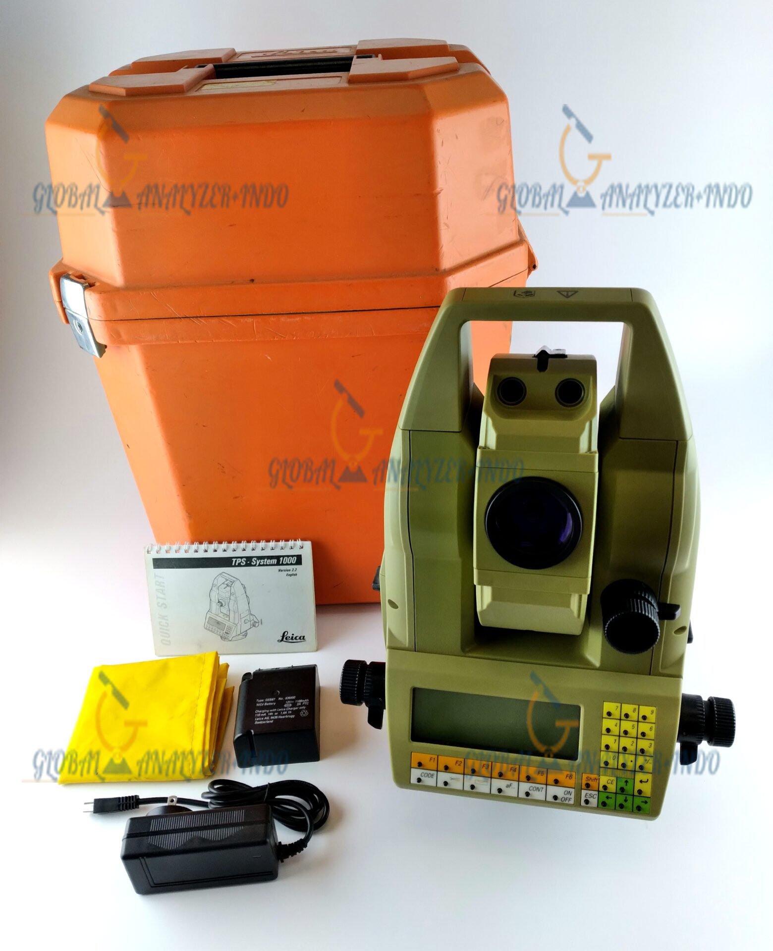
Leica TCA1800 Robotic Total Station: High-Precision Automation for Surveying
The Leica TCA1800 Robotic Total Station is a cutting-edge surveying instrument designed for precision, efficiency, and automation. This robotic total station allows surveyors to perform measurements with minimal manual intervention, improving productivity while maintaining accuracy in demanding field conditions.
Overview of Leica TCA1800 Robotic Total Station
The Leica TCA1800 integrates high-accuracy angle and distance measurement with advanced robotic control, enabling operators to measure, track, and document data seamlessly. Its intuitive interface and remote operation features make it a versatile tool for surveying, construction, and infrastructure projects.
How the Robotic System Works
The TCA1800 follows a target prism automatically while capturing precise angles and distances. By converting these measurements into 3D coordinates in real time, surveyors can complete site mapping, alignment, and layout tasks efficiently.
Key Features of Leica TCA1800
Robotic Automation
The Leica TCA1800 allows operators to control the instrument remotely, reducing the need for a second surveyor. As a result, fieldwork becomes faster and more efficient.
High Accuracy and Reliability
With precise angle and distance measurements, the TCA1800 ensures reliable data collection even over long ranges. Therefore, surveyors can trust it for critical projects that demand high precision.
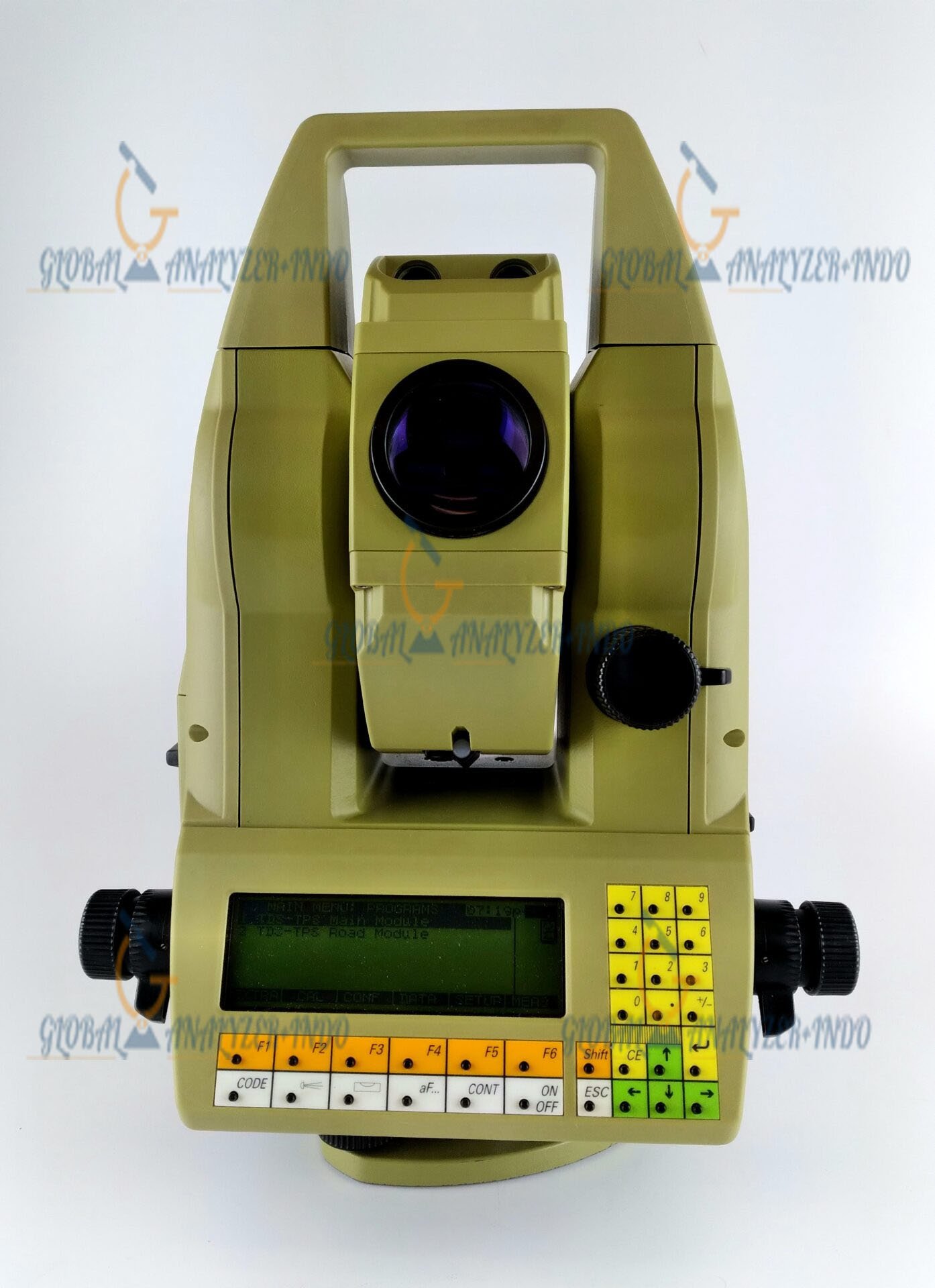
User-Friendly Interface
The intuitive touchscreen and software simplify operations, allowing surveyors to focus on data collection and analysis rather than instrument setup. Consequently, learning curves and errors are minimized.
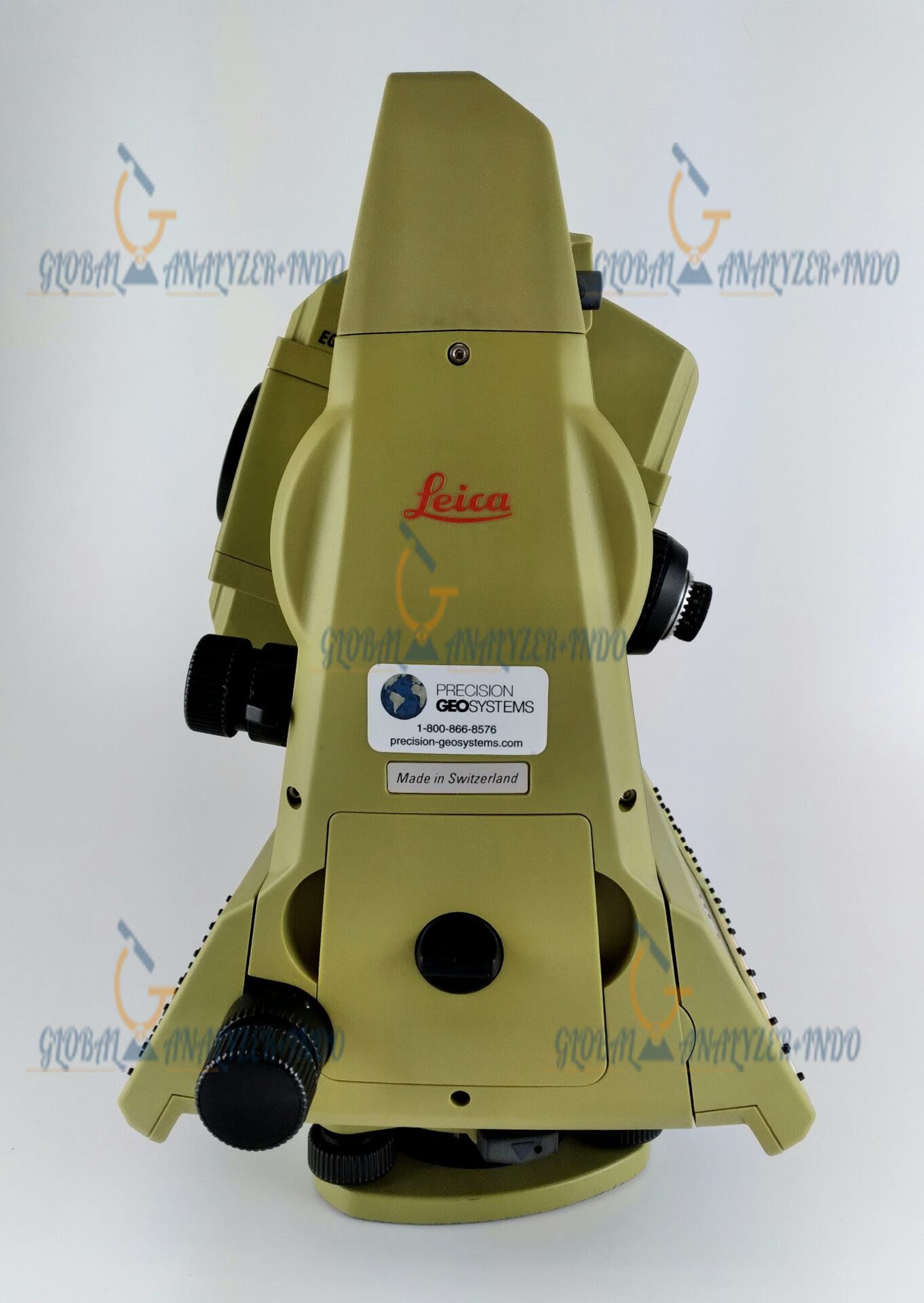
Durable Design for Field Conditions
Built for outdoor use, the Leica TCA1800 withstands challenging environments such as dust, temperature variations, and vibrations. Moreover, it maintains consistent performance during extended field operations.
Applications of Leica TCA1800 Robotic Total Station
Land Surveying
Surveyors use the TCA1800 for topographic surveys, boundary measurements, and mapping projects. As a result, they achieve accurate geospatial data for planning and documentation.
Construction Layout and Verification
Construction professionals rely on the robotic station to set out points, check alignments, and monitor progress. Therefore, structures adhere to design specifications from start to finish.
Infrastructure and Engineering Projects
Engineers use the TCA1800 in road, bridge, and utility projects. Additionally, robotic control allows precise measurement of large and complex sites without multiple instrument setups.
Benefits of Using Leica TCA1800
Increased Productivity
Robotic operation reduces manual intervention, allowing surveyors to cover more ground in less time. Consequently, overall field productivity improves.
Accurate and Consistent Data
The TCA1800 provides reliable and repeatable measurements, supporting confident decision-making and reducing errors in project execution.
Long-Term Value
With robust construction and proven Leica technology, this robotic total station provides long-term reliability and efficiency, making it a valuable investment for professional surveyors.
Why Choose Leica TCA1800 Robotic Total Station?
Advanced Robotic Surveying Technology
Leica’s TCA1800 integrates total station precision with automated robotic control. Therefore, surveyors can perform high-accuracy measurements faster and more efficiently.
Trusted Leica Engineering
The instrument reflects Leica’s decades of expertise in surveying technology. As a result, it delivers high performance, durability, and usability in demanding environments.


There are no reviews yet.