
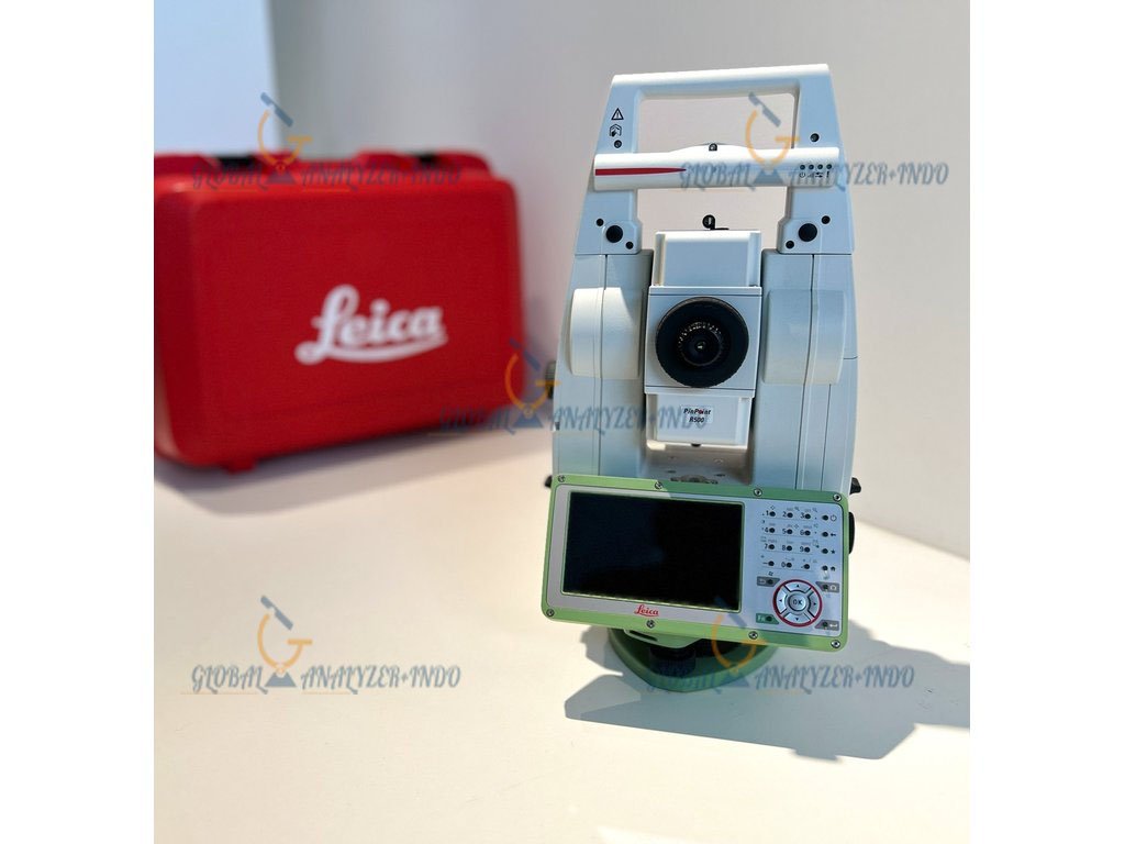
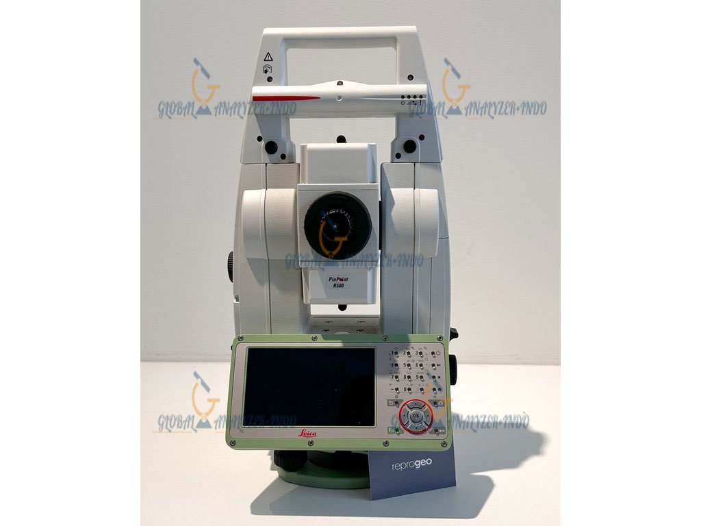
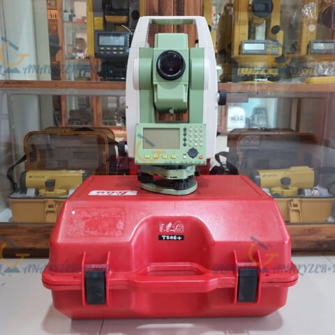
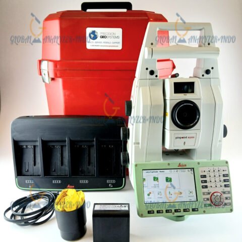
Leica TS13 1″ R1000 Robotic Total Station
The Leica TS13 1″ R1000 Robotic Total Station is a high-precision surveying instrument designed for professionals who demand accuracy, efficiency, and automation. Moreover, it supports modern surveying workflows by enabling fast data collection with reduced manpower. As a result, it is widely used in construction, engineering, and land surveying projects.
Overview of the Leica TS13 1″ R1000
The Leica TS13 1″ R1000 combines robotic technology with precise angle and distance measurement. Therefore, it allows surveyors to complete complex tasks more efficiently. In addition, its design focuses on reliability and consistency in demanding field environments.
Built for Professional Surveying Needs
While traditional total stations require multiple operators, the TS13 supports robotic operation. Consequently, surveyors can work with smaller teams while maintaining high measurement quality.
Key Features of the Leica TS13 1″ R1000
1″ High Angular Accuracy
The 1-arcsecond angular accuracy ensures precise measurements. As a result, the instrument is suitable for control surveys, layout tasks, and detailed engineering work.
Robotic Surveying Capability
The robotic function allows the total station to automatically track a prism. Therefore, one-person operation becomes possible, which significantly improves field productivity.
R1000 Long-Range Distance Measurement
With reflector-based long-range measurement capability, the TS13 R1000 supports surveying over extended distances. Moreover, this feature is especially useful for large construction and infrastructure projects.
Rugged and Reliable Design
The Leica TS13 is designed for daily professional use. Consequently, it performs reliably in challenging outdoor conditions such as construction sites and infrastructure corridors.
Applications of the Leica TS13 Robotic Total Station
Construction Layout and As-Built Surveys
The TS13 helps construction teams perform accurate layout work. In addition, it supports as-built surveys, ensuring that completed structures match design specifications.
Land and Topographic Surveying
For land surveyors, the TS13 provides consistent and accurate data. Therefore, it is suitable for boundary surveys, topographic mapping, and control networks.
Infrastructure and Engineering Projects
In road, bridge, and utility projects, precise measurements are critical. As a result, the Leica TS13 is often used for monitoring, alignment, and documentation throughout project stages.
Benefits of Using the Leica TS13 1″ R1000
Higher Productivity with Fewer Crew Members
Because of its robotic operation, the TS13 reduces the need for additional personnel. Consequently, operational costs and survey time can be significantly reduced.
Reliable and Consistent Results
Accurate angle measurement combined with dependable distance measurement improves confidence in collected data. Therefore, rework and measurement errors can be minimized.
Backed by Leica Geosystems Technology
Leica Geosystems is globally recognized for precision instruments. Moreover, the TS13 reflects this reputation by delivering stable and dependable performance.
Why Choose the Leica TS13 1″ R1000 Robotic Total Station
The Leica TS13 1″ R1000 is an excellent choice for professionals who require automation without sacrificing accuracy. Furthermore, its long-range measurement and robotic tracking support efficient workflows across various project types.


There are no reviews yet.