
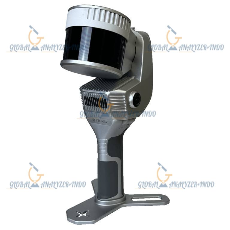
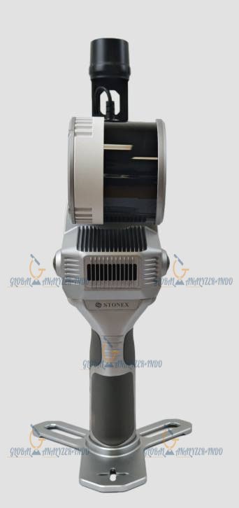
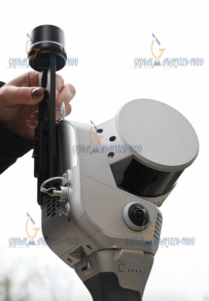
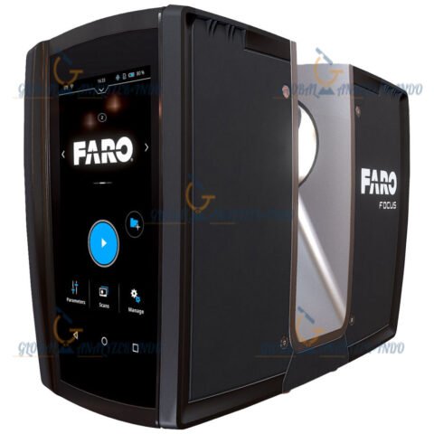
Stonex X200GO Handheld SLAM Laser Scanner
Introduction to the Stonex X200GO
The Stonex X200GO Handheld SLAM Laser Scanner is a high-performance 3D scanning solution designed for professionals requiring fast, accurate, and portable spatial data capture. As the demand for precise as-built and field measurements grows, the X200GO offers a combination of mobility, reliability, and advanced SLAM technology.
Moreover, its handheld design allows operators to scan areas that are difficult or impossible to access with traditional stationary scanners. Therefore, the X200GO is suitable for surveying, construction, industrial inspections, and digital twin workflows.
Key Features of the Stonex X200GO
Handheld Portability
The X200GO is lightweight and ergonomic, so users can carry it easily across different sites. In addition, its compact design enables scanning in narrow corridors, staircases, and complex layouts. Consequently, professionals can capture high-quality 3D data in challenging environments.
Advanced SLAM Technology
Equipped with Simultaneous Localization and Mapping (SLAM), the X200GO delivers accurate point cloud data without relying on GNSS signals. Therefore, it performs flawlessly indoors, underground, and in urban canyons where GPS is unavailable.
High-Resolution 3D Scanning
The X200GO produces dense, accurate point clouds that capture fine structural details. As a result, it supports precise measurements, 3D modeling, and digital twin creation.
Real-Time Data Monitoring
During scanning, users can visualize point clouds in real time, ensuring that every area is properly captured. Consequently, rescanning is minimized and project efficiency is improved.
Design and Usability
Intuitive User Interface
The Stonex X200GO features a simple and user-friendly interface that allows operators of any skill level to achieve professional results.
Quick Setup and Deployment
Unlike traditional stationary scanners, the X200GO can be powered on and ready for scanning within minutes. As a result, field teams save valuable time and can focus on data acquisition rather than setup.
Applications of the Stonex X200GO
Surveying and Mapping
The X200GO is ideal for topographic surveys, interior mapping, and as-built documentation. Moreover, it provides accurate 3D data for civil engineering, construction planning, and architectural projects.
Construction and Infrastructure
Construction teams can use the X200GO to verify structures, monitor project progress, and create accurate 3D models for quality assurance and management.
Industrial Inspection
The handheld scanner is perfect for equipment audits, facility inspections, and maintenance planning. Its portability allows teams to safely capture spatial data in confined or hazardous areas.
Digital Twin and BIM Workflows
High-density point clouds from the X200GO support digital twin creation and BIM integration. Therefore, organizations can optimize asset management, planning, and operational efficiency.
Advantages of Using the Stonex X200GO
Increased Productivity
The combination of SLAM technology and handheld mobility reduces scanning time, enabling faster project completion than stationary LiDAR systems.
Reliable Performance in Challenging Environments
Whether scanning indoors, underground, or in urban areas, the X200GO maintains stable tracking and delivers high-quality data.
Cost-Effective 3D Scanning Solution
By eliminating bulky setups and reliance on external GNSS systems, the X200GO provides a cost-efficient scanning solution without compromising accuracy.
Data Quality and Output
High-Resolution Point Clouds
The X200GO produces dense, accurate point clouds suitable for CAD, BIM, GIS, and visualization software. Consequently, professionals can rely on this data for analysis, design, and documentation.
Flexible Export Options
Captured data can be exported in industry-standard formats, ensuring seamless integration with existing workflows and software platforms.
Specifications :
Sensor Model
Hesai XT32M2X
Max Range
300 m
Min Range
0.5 m
Return number
3
Scanning Point Frequency
Single Ret.: 640.000 pts/s
Dual Ret.: 1.280.000 pts/s
Triple Ret.: 1.920.000 pts/s
Field of view
360 Degree x 270 Degree
Laser Class
1
Channels
32
Wavelength
905nm
COLOR CAMERA
N° of pixels
24 Mpx (2 cameras, 12 MPx each)
Diagonal FOV
210°
Focal length
1.26 mm
Resolution
4000×3000 px
Sensor size
1/2.3 inch
Pixel size
1.55 μm
GNSS RECEIVER
Satellites Signal
GPS L1 C/A/L2P(Y)/L2C/L5
GLONASS G1/G2
Galileo E1/E5A/E5B
BDS B1I/B2I/B3I
QZSS L1/L2/L5
DGPS (RMS)
Horizon 0.4 m 1 ppm
Vertical 0.8 m 1 ppm
RTK (RMS)
Horizon 0.8cm 1ppm
Vertical 1.5cm 1ppm
Speed accuracy (RMS)
0.03m/s
SYSTEM
Relative accuracy
Up to 6mm
Global accuracy
Up to 2cm
5cm on UAV platform1
Control point support
Ground & wall
Data storage
512GB SSD
Communication
Wi-fi, Bluetooth, USB type-c, Lemo connector
Operating mode
SLAM & X-Whizz modes, Real-time visualisation, colouring and orientation
Processing mode
Real-time processing Post-processing with GOpost
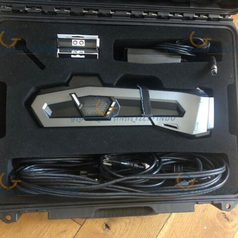
INCLUDED :
Monopod
Backpack
Tablet Holder
Shoulders Hook
RTK
Warranty Information
2 Years


There are no reviews yet.