
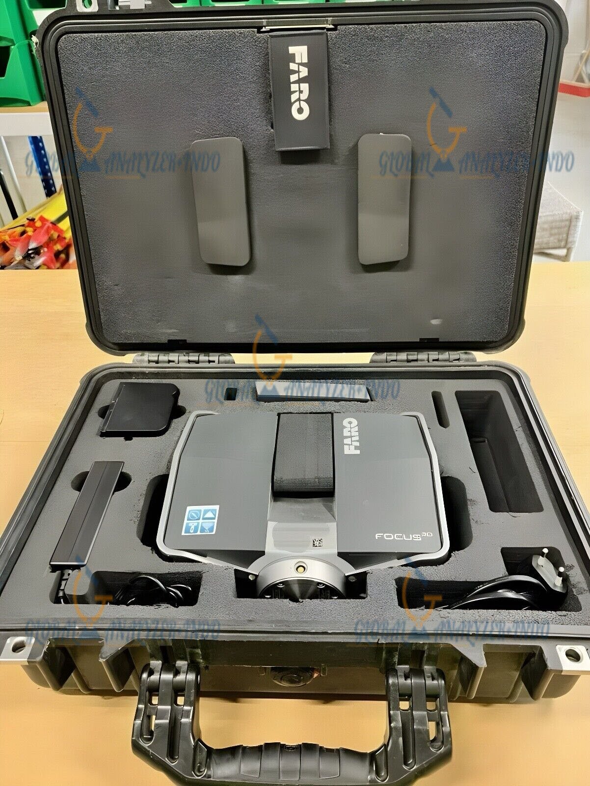
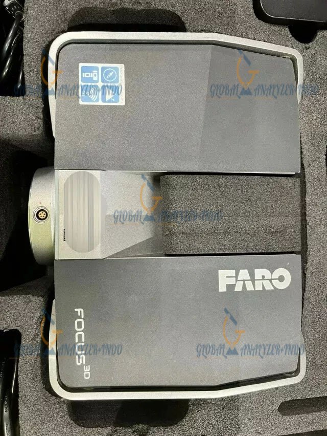
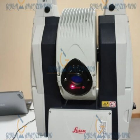
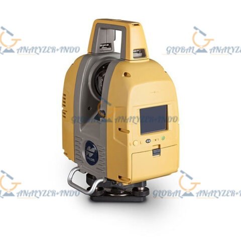
FARO Focus3D S120 Survey Laser Scanner
The FARO Focus3D S120 Survey Laser Scanner is a compact, high-speed terrestrial laser scanner designed for professional 3D documentation, surveying, BIM modeling, industrial measurement, forensic analysis, architecture, engineering, and construction applications.
Developed by FARO Technologies, the Focus3D S120 combines precision laser scanning, integrated HDR imaging, touchscreen operation, onboard Wi-Fi connectivity, and lightweight portability into a highly efficient reality capture platform.
The scanner captures millions of high-accuracy measurement points to generate dense 3D point clouds and photorealistic digital models of buildings, industrial facilities, infrastructure, tunnels, construction sites, and complex environments.
Why Choose the FARO Focus3D S120
Compact and Lightweight Design
The Focus3D S120 is one of the most portable terrestrial laser scanners in its class, allowing easy transport and fast field deployment.
Benefits
- Easy transportation
- Faster setup
- Improved field mobility
- Reduced operator fatigue
- Ideal for confined environments
High-Speed 3D Laser Scanning
The system captures up to 976,000 measurement points per second for fast and efficient project documentation.
Advantages
- Faster site capture
- Dense point cloud generation
- Reduced field time
- Improved project efficiency
- Accurate digital documentation
Integrated HDR Color Imaging
The onboard camera captures high-resolution panoramic imagery with up to 70 megapixel color overlay capability.
Imaging Benefits
- Photorealistic scans
- Improved visualization
- Better feature recognition
- Enhanced BIM modeling
- Detailed inspection workflows
Wi-Fi Remote Operation
Integrated WLAN functionality allows remote scanner control and scan visualization from compatible mobile devices.
Key Features
Terrestrial Laser Scanning Technology
The scanner uses phase-shift laser technology for rapid and highly detailed 3D measurement acquisition.
Core Capabilities
- High-density scanning
- Precision geometry capture
- Point cloud generation
- Real-time scan visualization
- Accurate 3D documentation
Multi-Sensor Integration
The Focus3D S120 includes integrated sensors for improved automatic registration and positioning workflows.
Integrated Sensors
- Electronic compass
- Height sensor (barometer)
- Dual-axis compensator
Touchscreen Interface
The intuitive touchscreen simplifies field operation and scanner configuration.
Operational Benefits
- Easy scan setup
- Simplified workflow
- Fast project management
- Real-time scan review
Automatic Compensation System
The dual-axis compensator automatically levels scans for improved measurement consistency.
Applications
Land Surveying
Used for:
- Topographic surveys
- Terrain mapping
- Corridor surveys
- Utility mapping
- Control verification
Architecture and BIM
Supports:
- As-built documentation
- BIM modeling
- Historic preservation
- Interior scanning
- Architectural reconstruction
Construction Industry
Ideal for:
- Progress monitoring
- Structural verification
- Quality assurance
- Clash detection
- Digital construction workflows
Industrial Facilities
Widely used for:
- Plant documentation
- Piping analysis
- Factory layout
- Retrofit engineering
- Asset management
Mining and Tunnel Surveying
Suitable for:
- Tunnel documentation
- Mine mapping
- Excavation analysis
- Deformation monitoring
- Volume calculations
Forensic and Public Safety
Used for:
- Crime scene documentation
- Accident reconstruction
- Evidence preservation
- Digital scene capture
General Specifications
| Specification | Details |
|---|---|
| Product Name | FARO Focus3D S120 |
| Product Type | Terrestrial 3D Laser Scanner |
| Manufacturer | FARO Technologies |
| Scanning Technology | Phase-Shift Laser Scanning |
| Primary Applications | Surveying, BIM, Industrial, Construction |
| Operation Type | Portable Tripod Scanner |
| Integrated Camera | Yes |
| Wi-Fi Connectivity | Yes |
| Touchscreen Display | Yes |
| Multi-Sensor System | Yes |
| Point Cloud Output | Supported |
| Real-Time Visualization | Supported |
Ranging Specifications
| Specification | Details |
|---|---|
| Measurement Range | 0.6 m – 120 m |
| Unambiguity Interval | 153.49 m |
| Measurement Technology | Phase Shift |
| Ranging Error | ±2 mm |
| Reflectivity Support | 10% – 90% |
| Indoor Scanning | Supported |
| Outdoor Scanning | Supported |
Measurement Speed Specifications
| Specification | Details |
|---|---|
| Scan Speed Options | 122k / 244k / 488k / 976k points/sec |
| Maximum Measurement Rate | 976,000 points/sec |
| High-Speed Scanning | Supported |
| Dense Point Cloud Capture | Supported |
Accuracy and Noise Specifications
| Specification | Details |
|---|---|
| Distance Accuracy | ±2 mm |
| Noise @10m (90% Reflectivity) | 0.6 mm |
| Noise @25m (90% Reflectivity) | 0.95 mm |
| Noise Compression Support | Yes |
| Precision Survey Capability | Supported |
Field of View Specifications
| Specification | Details |
|---|---|
| Horizontal Field of View | 360° |
| Vertical Field of View | 300°–305° |
| Vertical Step Size | 0.009° |
| Horizontal Step Size | 0.009° |
| Maximum Vertical Scan Speed | 5,820 rpm / 97 Hz |
Laser Specifications
| Specification | Details |
|---|---|
| Laser Class | Class 3R |
| Laser Power | 20 mW |
| Wavelength | 905 nm |
| Beam Divergence | 0.19 mrad |
| Beam Diameter | 3.0 mm |
| Optical Transmitter | Integrated |
Imaging Specifications
| Specification | Details |
|---|---|
| Camera Type | Integrated HDR Camera |
| Color Resolution | Up to 70 Megapixels |
| Color Overlay | Parallax-Free |
| Brightness Adaptation | Automatic |
| Photorealistic Scanning | Supported |
Multi-Sensor Specifications
| Specification | Details |
|---|---|
| Electronic Compass | Integrated |
| Height Sensor | Electronic Barometer |
| Dual-Axis Compensator | Yes |
| Compensator Accuracy | 0.015° |
| Compensator Range | ±5° |
Data Handling and Storage
| Specification | Details |
|---|---|
| Data Storage Media | SD / SDHC / SDXC |
| Included Storage | 32 GB SD Card |
| Wireless Data Transfer | Wi-Fi |
| Scanner Control | Touchscreen & WLAN |
| Remote Access | Supported |
Power Specifications
| Specification | Details |
|---|---|
| Battery Type | Rechargeable Lithium-Ion |
| Battery Runtime | Up to 5 Hours |
| External Power Input | 19V |
| Internal Battery Voltage | 14.4V |
| Power Consumption | Approx. 40W |
Physical Specifications
| Specification | Details |
|---|---|
| Weight | Approx. 5.0 kg |
| Dimensions | 240 × 200 × 100 mm |
| Housing Design | Compact Portable |
| Mount Type | Tripod Mount |
| Portability | High |
Environmental Specifications
| Specification | Details |
|---|---|
| Operating Temperature | 5°C to 40°C |
| Humidity Resistance | Non-Condensing |
| Indoor Operation | Supported |
| Outdoor Operation | Supported |
Software Compatibility
| Software | Function |
|---|---|
| FARO SCENE | Registration & Processing |
| Autodesk ReCap | Point Cloud Processing |
| CloudCompare | Open Source Point Cloud Analysis |
| BIM Platforms | BIM Modeling |
| CAD Software | Drafting & Engineering |
Advantages of FARO Focus3D S120
Fast Reality Capture
The high-speed scanning engine dramatically reduces site capture time.
Lightweight Mobility
The compact design makes the scanner easy to transport between projects.
Accurate Point Cloud Data
Professional-grade accuracy supports surveying, BIM, and industrial engineering workflows.
Efficient BIM Integration
Photorealistic scans improve BIM coordination and as-built modeling.
Simplified Field Operation
Touchscreen controls and Wi-Fi connectivity streamline field workflows.
Industries Using FARO Focus3D S120
Surveying Industry
Used for:
- Geospatial surveys
- Terrain mapping
- Utility surveys
- Infrastructure documentation
Construction Industry
Supports:
- Digital construction
- Progress monitoring
- Structural verification
- As-built surveys


There are no reviews yet.