
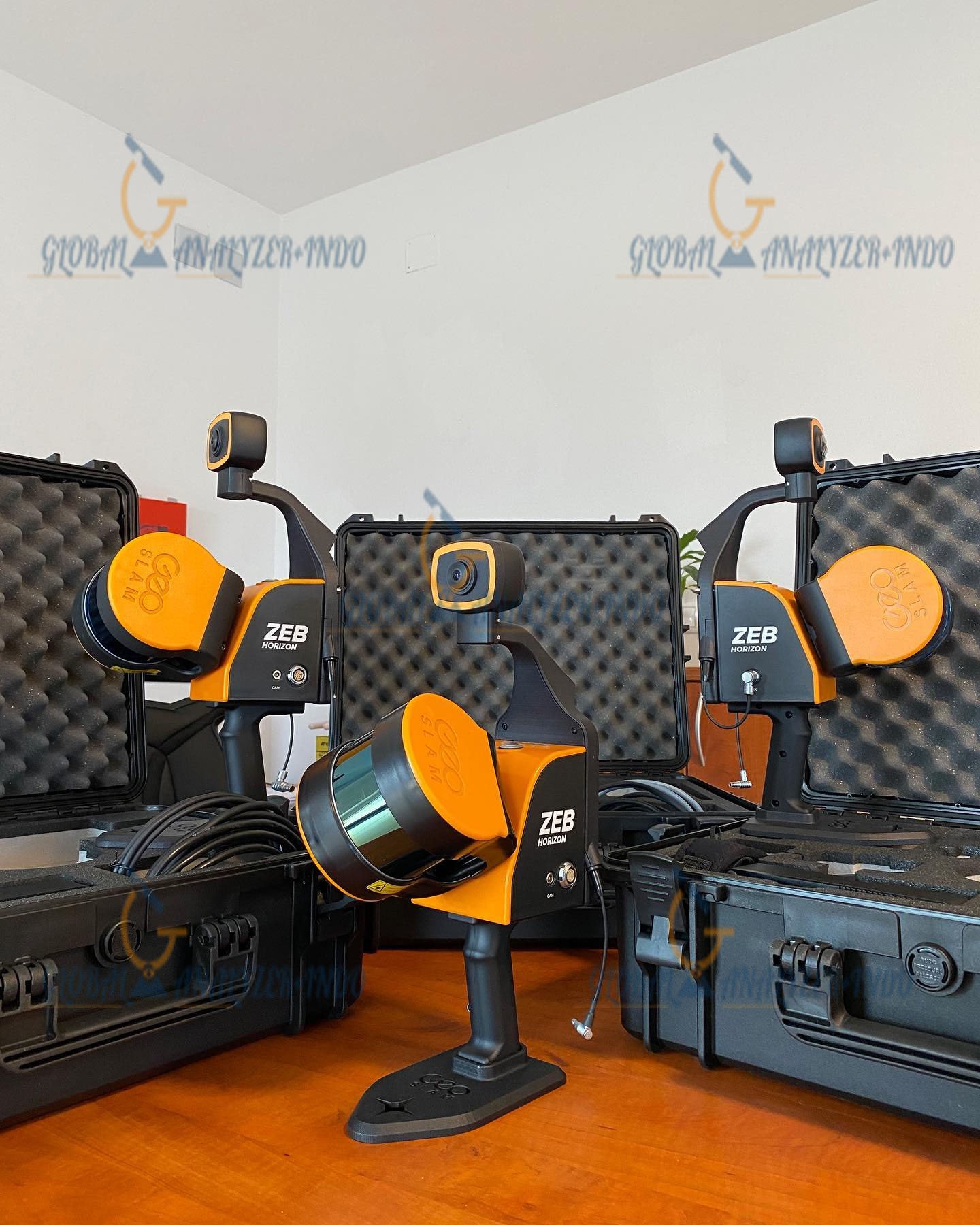
GeoSLAM ZEB-HORIZON: Advanced 3D Mobile Scanning for Indoor and Outdoor Surveys
Meet the GeoSLAM ZEB-HORIZON, the latest innovation in mobile 3D scanning technology. Designed for versatility, speed, and precision, the ZEB-HORIZON is perfect for both indoor and outdoor surveys. Its lightweight, compact design combined with powerful SLAM technology makes it ideal for challenging environments where GPS is limited, including underground areas, forests, and remote locations.
Why Choose ZEB-HORIZON?
Unlimited Surveying Possibilities
The ZEB-HORIZON comes in a portable backpack system for ease of use and transport. Its flexibility allows users to adapt to different environments:
Use an extendable pole to increase scanning range or reach high/remote areas like ceiling voids.
Attach the scanner to a GeoSLAM Cradle to access confined or hard-to-reach spaces such as manholes.
Mount the ZEB-HORIZON on a drone to capture aerial perspectives and full coverage of a site.
Key Benefits:
Seamless indoor and outdoor scanning
Highly accurate 3D models within minutes
Advanced SLAM algorithm for complex environments
300,000 points per second acquisition at 1-3 cm accuracy
Hybrid SLAM Technology
The ZEB-HORIZON is powered by GeoSLAM’s proprietary SLAM algorithm, enabling reliable mapping in areas with limited GPS signal. This makes it suitable for:
Remote or forested areas
Underground tunnels or mines
Urban construction sites with obstructed GPS
GeoSLAM Hub + Draw Software
Transform Raw Data Into Actionable Insights
The ZEB-HORIZON integrates seamlessly with GeoSLAM Hub + Draw, industry-leading software for 3D data processing:
Automatic registration of multiple scans
Geo-referencing for survey-grade accuracy
Import and manipulate data from any GeoSLAM device
Drag-and-drop workflows for quick processing
Transform LiDAR data into usable, actionable information
Key Features of ZEB-HORIZON
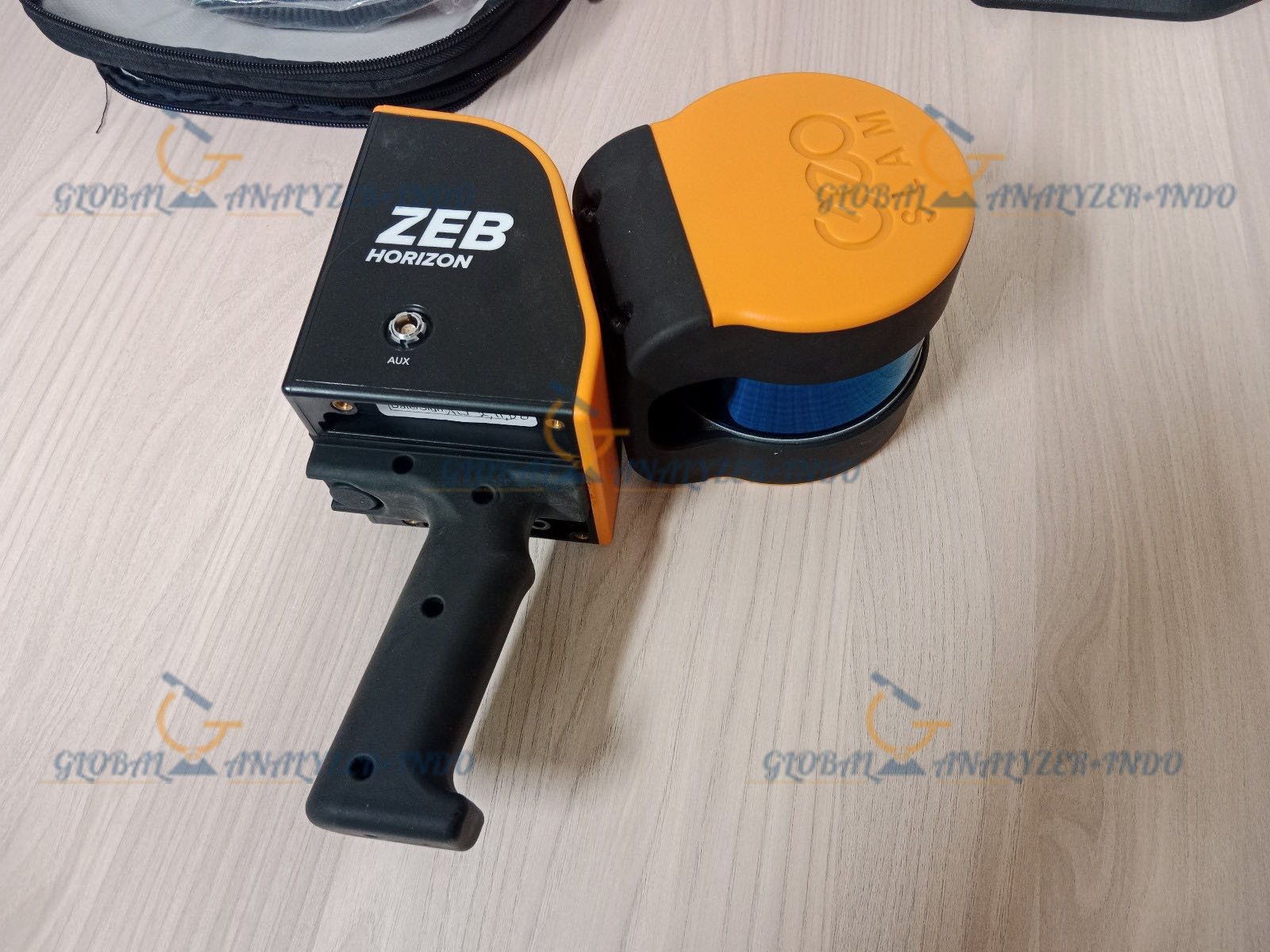
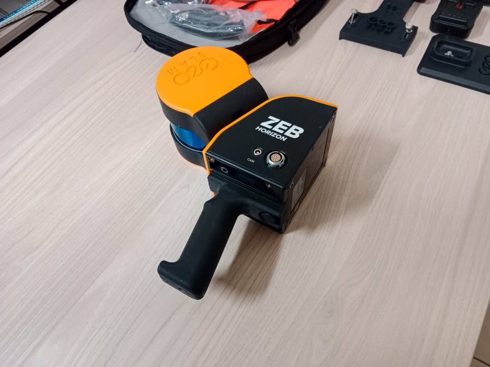
Lightweight and Portable
Scanner weight: 1.3 kg
Compact and easy to carry
Ideal for long surveys in challenging environments
High-Resolution 3D Scanning
Acquisition: 300,000 points per second
Accuracy: 1-3 cm
Range: 100 meters
Laser class: Class 1 eye-safe
Angular resolution: 0.1–0.4°
Data Logging and Storage
Datalogger battery: 90 Wh, 14.8V, 6.1 Ah
Operational time: 3.5 hours
Storage capacity: 120 GB
Ports: ZEB cable (LEMO), USB 3.0
ZEB-CAM for HORIZON
4K resolution, 30 fps
16:9 aspect ratio
130° field of view for panoramic imagery
Applications
Construction & Surveying
Rapid, accurate site mapping
Progress monitoring in urban or industrial projects
Indoor and outdoor flexibility
Mining & Underground Mapping
Scan tunnels, shafts, and mines without GPS
Accurate and repeatable 3D models for planning and safety
Environmental & Forestry
Remote area data capture
Assess forested or rugged landscapes quickly
Combine aerial and ground scanning via drone integration
Specifications
Component Specification
Scanner Type VLP-16
Points/sec 300,000
Channels 16
Range 100 m
Laser Class 1 eye-safe
Angular Resolution 0.1–0.4°
Weight 1.3 kg
Rotation 10 Hz
Datalogger Weight 2.4 kg
Battery 90 Wh, 3.5 hrs operation
Protection Class IP54
Accuracy 1–3 cm
ZEB-CAM 4K, 30 fps, 130° FOV
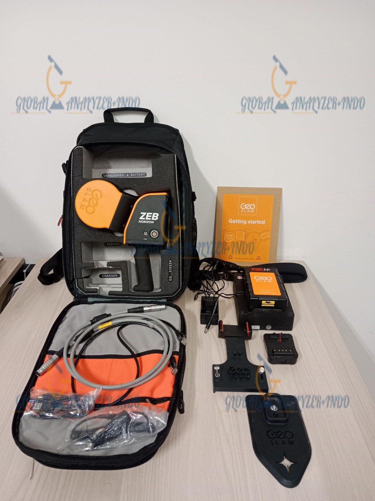
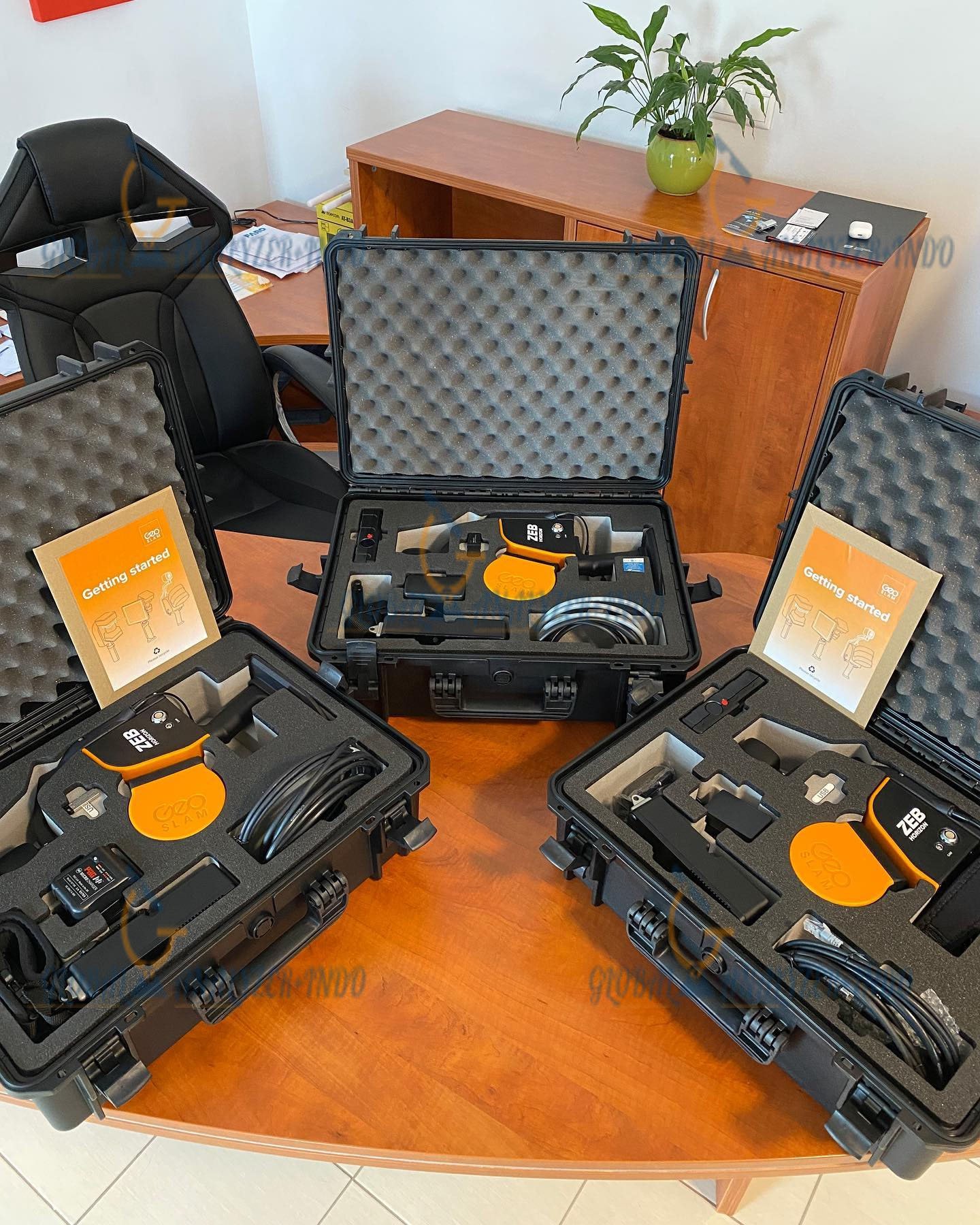
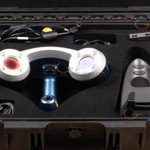
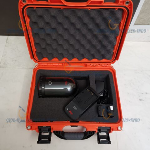
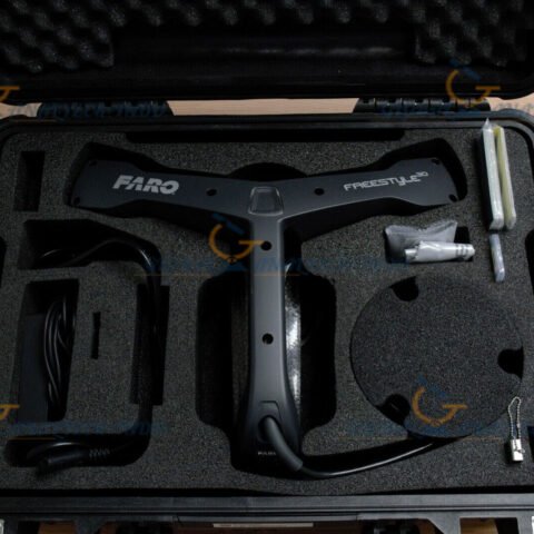
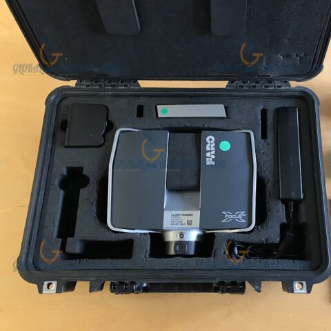
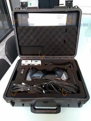
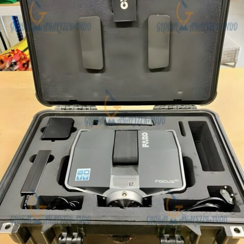
Package Includes
ZEB-HORIZON handheld scanner
Data logger with battery
ZEB Vision panoramic camera and mount
ZEB-HORIZON main cable
Battery charger and power supply
Reference base plate
USB memory stick
Backpack and data logger shoulder strap
Hard case
GeoSLAM Hub & Draw Start license (1-year software support)
1-Year hardware warranty
Warranty Information
The ZEB-HORIZON comes with a 1-year full warranty, ensuring peace of mind and reliable support for professional users.

There are no reviews yet.