
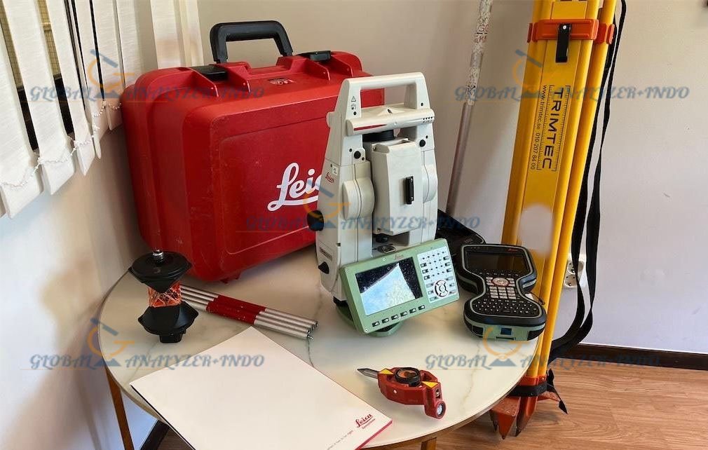
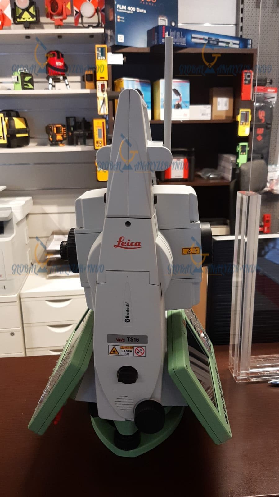
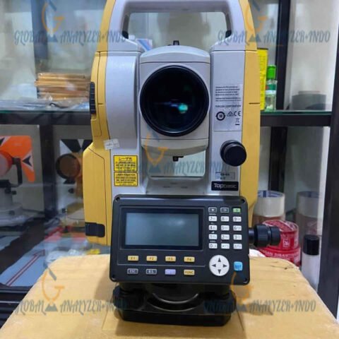
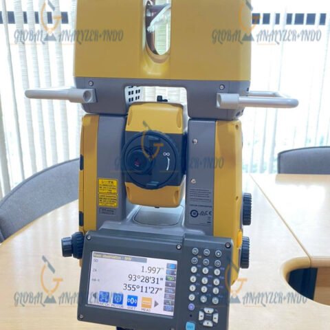
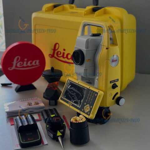
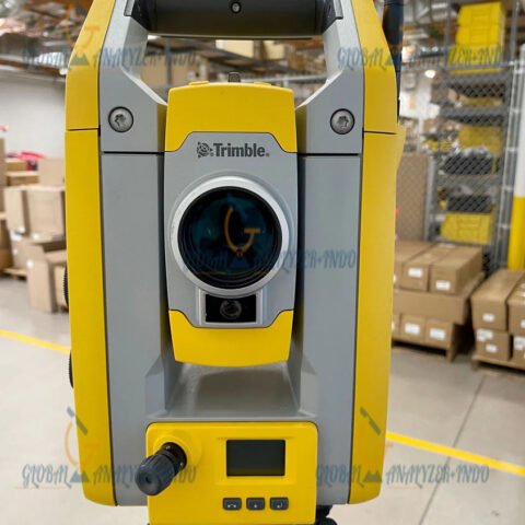
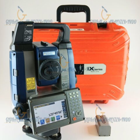
Leica Total Station TS16 Robotic 1″ R1000 Plus with CS20 Controller and GPS Remote
The Leica Total Station TS16 Robotic 1″ R1000 Plus is a premium surveying solution designed for professionals who require maximum accuracy, automation, and flexibility. Moreover, when combined with the Leica CS20 Controller and GPS Remote capability, it delivers a powerful and efficient workflow for modern surveying projects. As a result, this system is widely trusted in construction, engineering, and land surveying applications.
Overview of the Leica TS16 Robotic Surveying System
The Leica TS16 is a high-end robotic total station developed to support demanding field operations. Therefore, it enables precise measurements while reducing manual effort. In addition, the integration with the CS20 controller and GPS remote functionality enhances control, data management, and operational efficiency.
A Complete Robotic Surveying Solution
Unlike standalone instruments, the TS16 system works seamlessly with Leica software and controllers. Consequently, surveyors can manage complex tasks with confidence and consistency.
Key Features of the Leica TS16 Robotic 1″ R1000 Plus
1″ High-Precision Angular Accuracy
The 1-arcsecond accuracy supports extremely precise angle measurements. As a result, the TS16 is ideal for control surveys, detailed layout work, and monitoring applications.
Advanced Robotic Tracking Technology
The robotic functionality allows automatic prism tracking. Therefore, one-person surveying becomes practical, which significantly improves productivity in the field.
R1000 Plus Long-Range Distance Measurement
With R1000 Plus reflector-based distance measurement, the TS16 supports long-range surveying tasks. Moreover, this capability is especially valuable for large construction sites and infrastructure projects.
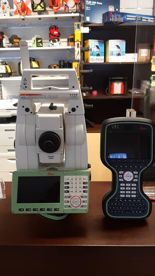
Leica CS20 Controller Integration
The CS20 controller provides a user-friendly interface and powerful data handling. In addition, it allows surveyors to manage measurements, layouts, and documentation efficiently.
GPS Remote Compatibility
GPS remote functionality enables flexible instrument control and positioning. Consequently, surveyors can adapt to complex site conditions and improve workflow efficiency.
Applications of the Leica TS16 Robotic Total Station
Construction Layout and Monitoring
The TS16 is widely used for construction layout and structural monitoring. Therefore, it helps ensure that projects are built according to design specifications.
Land and Topographic Surveying
For land surveyors, the TS16 delivers reliable and repeatable results. As a result, it is suitable for boundary surveys, topographic mapping, and control networks.
Infrastructure and Engineering Projects
In infrastructure projects such as roads, bridges, and utilities, accuracy is critical. Consequently, the TS16 supports precise alignment, measurement, and documentation throughout all project phases.
Benefits of Using the Leica TS16 Robotic System
Increased Efficiency with One-Person Operation
Because of its robotic tracking and remote control features, the TS16 reduces crew size requirements. Therefore, time and labor costs can be significantly minimized.
High Confidence in Measurement Results
The combination of precise angular accuracy and reliable distance measurement ensures consistent data quality. As a result, rework and errors are reduced.
Trusted Original Leica Geosystems Quality
Leica Geosystems is globally recognized for innovation and precision. Moreover, the TS16 reflects this reputation through its durability and advanced technology.
Why Choose the Leica TS16 Robotic 1″ R1000 Plus with CS20 Controller
The Leica TS16 Robotic 1″ R1000 Plus is an excellent choice for professionals who demand accuracy, automation, and system integration. Furthermore, its compatibility with the CS20 controller and GPS remote technology makes it a future-ready solution for complex surveying challenges.


There are no reviews yet.