
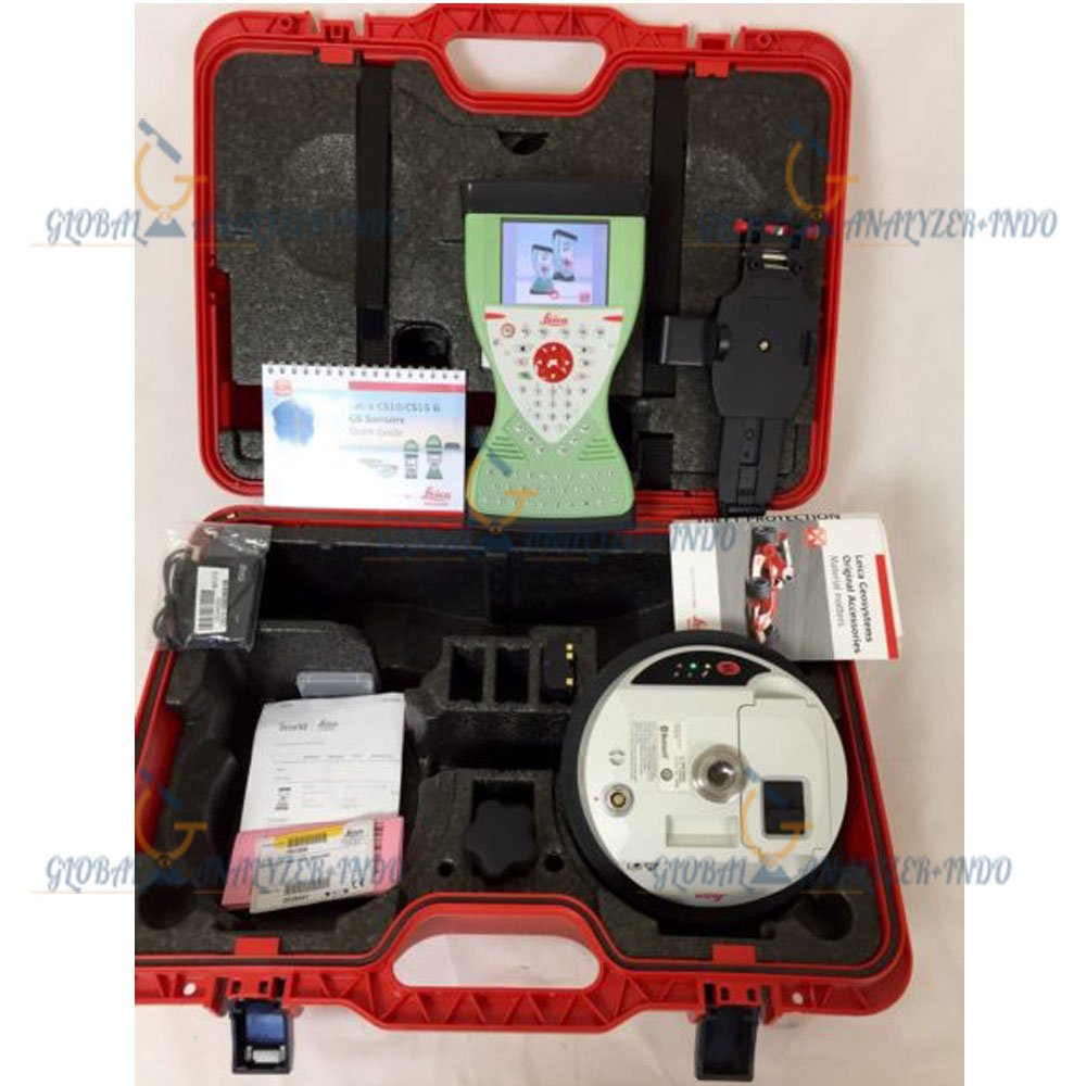
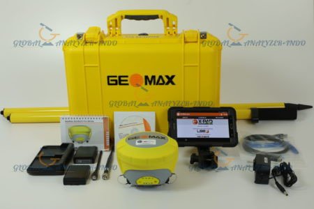
Leica VIVA GS08 GPS + CS10 GLONASS RTK: High-Precision Surveying Solution
The Leica VIVA GS08 GPS paired with CS10 GLONASS RTK is a professional surveying system designed to deliver centimeter-level accuracy and real-time kinematic (RTK) positioning. Ideal for construction, land surveying, and geospatial projects, it combines advanced GNSS technology with an intuitive data collector for efficient field workflows.
What Is the Leica VIVA GS08 GPS + CS10 GLONASS RTK?
The Leica VIVA GS08 is a GNSS receiver that supports multi-constellation GPS and GLONASS signals. When paired with the CS10 controller, it enables RTK measurements in real time, providing precise coordinates for surveying and construction applications.
Core Functions
High-accuracy GNSS positioning with RTK corrections
Multi-constellation support (GPS + GLONASS) for reliable performance
Efficient data collection and management using CS10 controller
Key Features of the Leica VIVA GS08 + CS10
RTK Centimeter-Level Accuracy
The system provides real-time centimeter-level positioning, ensuring precise measurements for construction layout, topographic surveys, and GIS applications.
Multi-Constellation GNSS Support
Supports GPS and GLONASS, enhancing reliability and availability of satellite signals, even in challenging environments.
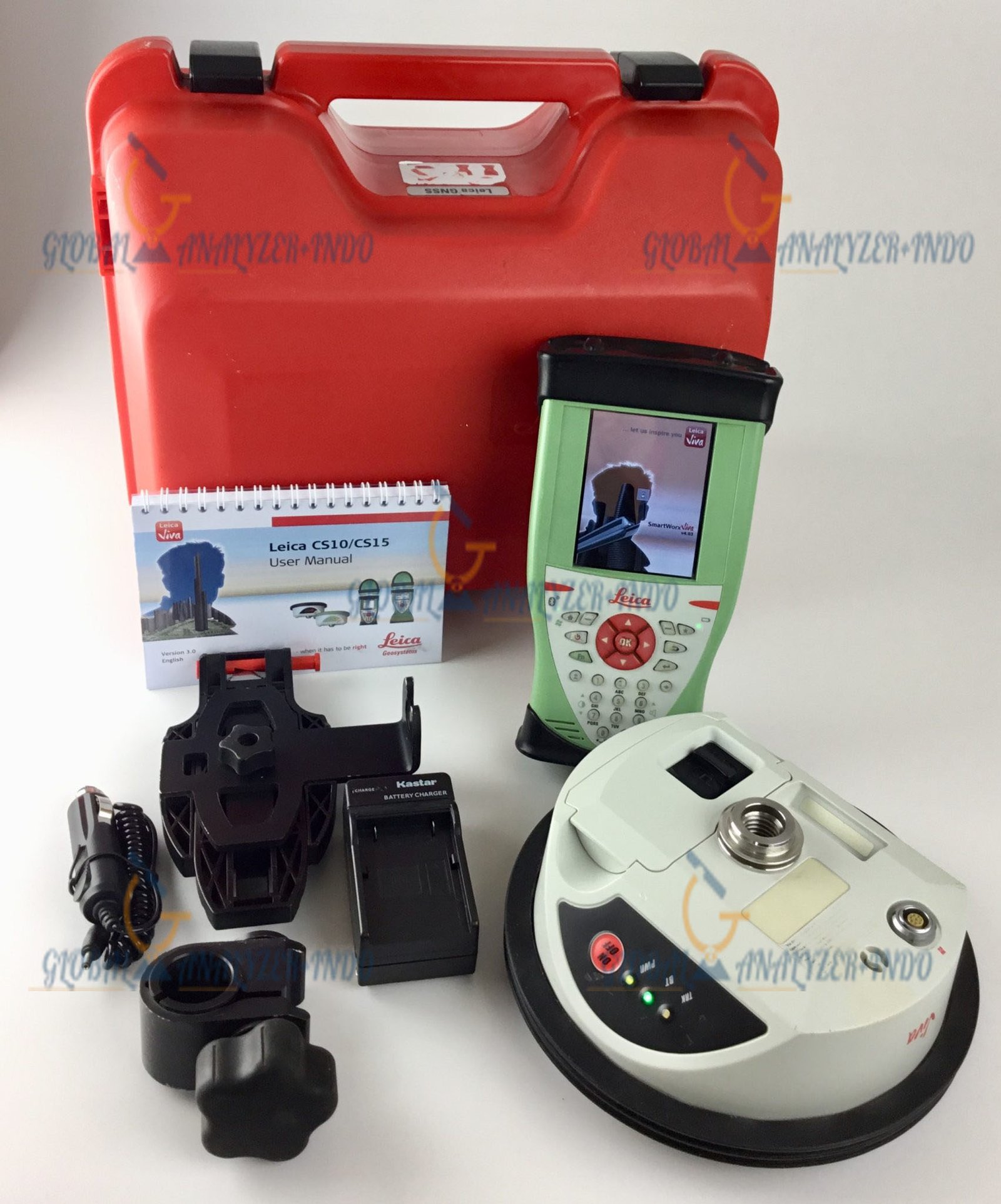
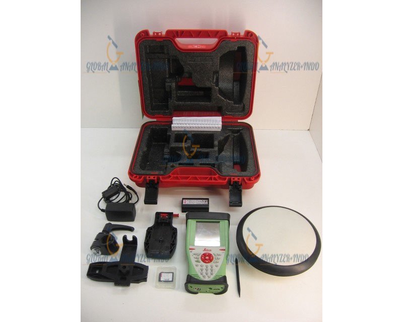
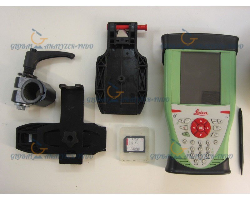
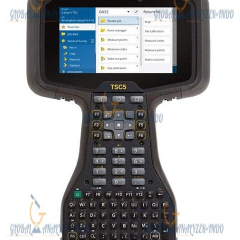
CS10 Data Collector
The CS10 controller is rugged, user-friendly, and enables seamless data recording, processing, and transfer in the field.
Technical Advantages
Portable and Rugged Design
Lightweight, durable, and built for field use in various environmental conditions.
Real-Time Communication
Supports radio, GSM, and internet connectivity for RTK corrections and data sharing.
Long Battery Life
Optimized power management allows extended fieldwork without frequent recharging.
Software Compatibility
Data integrates seamlessly with Leica Geo Office, GIS platforms, and other surveying software for post-processing and analysis.
Applications of Leica VIVA GS08 GPS + CS10 GLONASS RTK
Land Surveying
Accurate geospatial data collection for topographic maps, cadastral surveys, and site planning.
Construction and Engineering
Supports layout, staking, and alignment tasks for civil engineering and infrastructure projects.
GIS and Mapping
Ideal for GIS data collection, environmental monitoring, and infrastructure mapping.
Agriculture and Forestry
Used in precision agriculture, forestry mapping, and resource management for accurate positioning.
Benefits of Using Leica VIVA GS08 + CS10
High Accuracy
GNSS with RTK corrections ensures centimeter-level precision for critical surveying tasks.
Field Efficiency
Real-time data collection reduces fieldwork time and improves workflow efficiency.
Reliable and Durable
Rugged design and multi-constellation GNSS support ensure dependable operation in challenging environments.
User-Friendly Operation
The CS10 controller simplifies measurement workflows and data management in the field.
Why Choose Leica VIVA GS08 GPS + CS10 GLONASS RTK?
The Leica VIVA GS08 GPS + CS10 GLONASS RTK is ideal for professionals requiring high-precision, reliable, and efficient surveying solutions. Its combination of RTK technology, multi-constellation GNSS support, and rugged data collector makes it perfect for construction, mapping, and geospatial applications.


There are no reviews yet.