
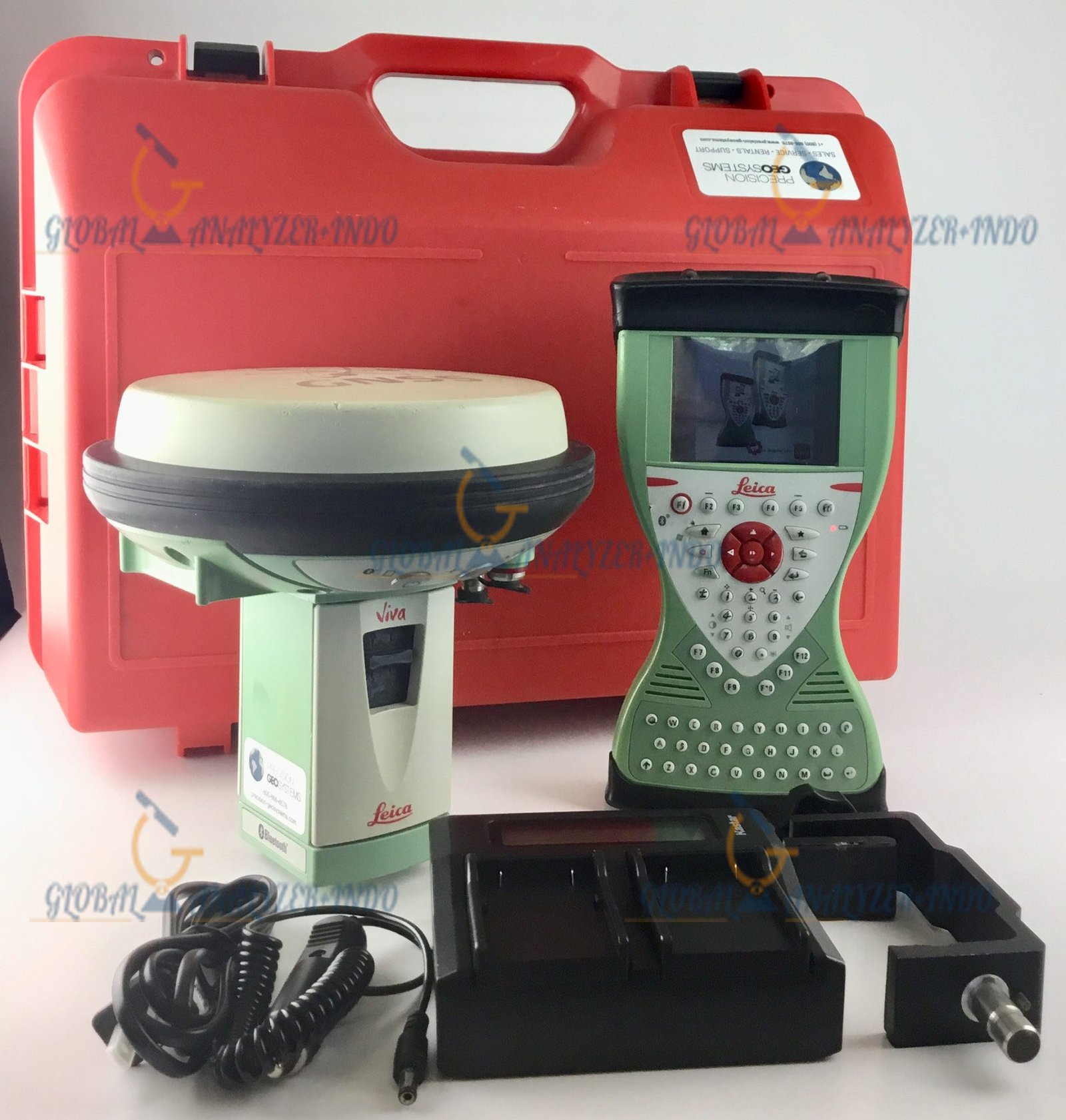
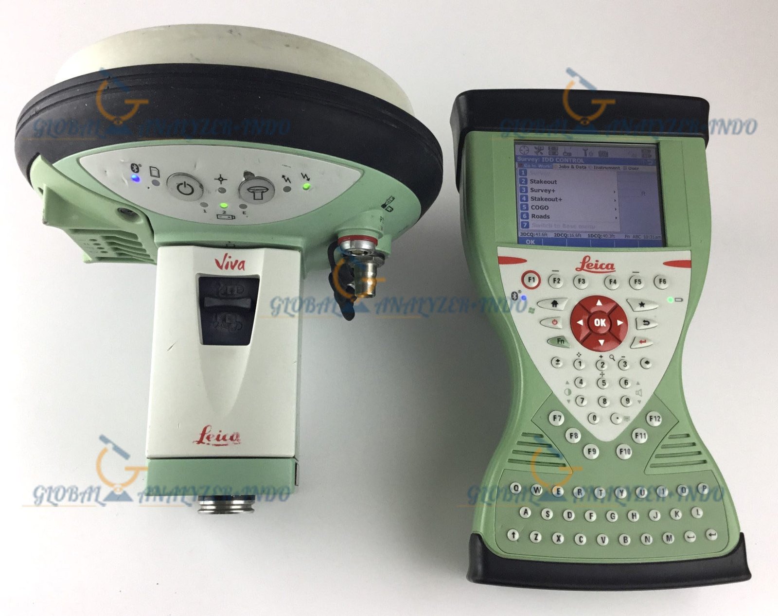
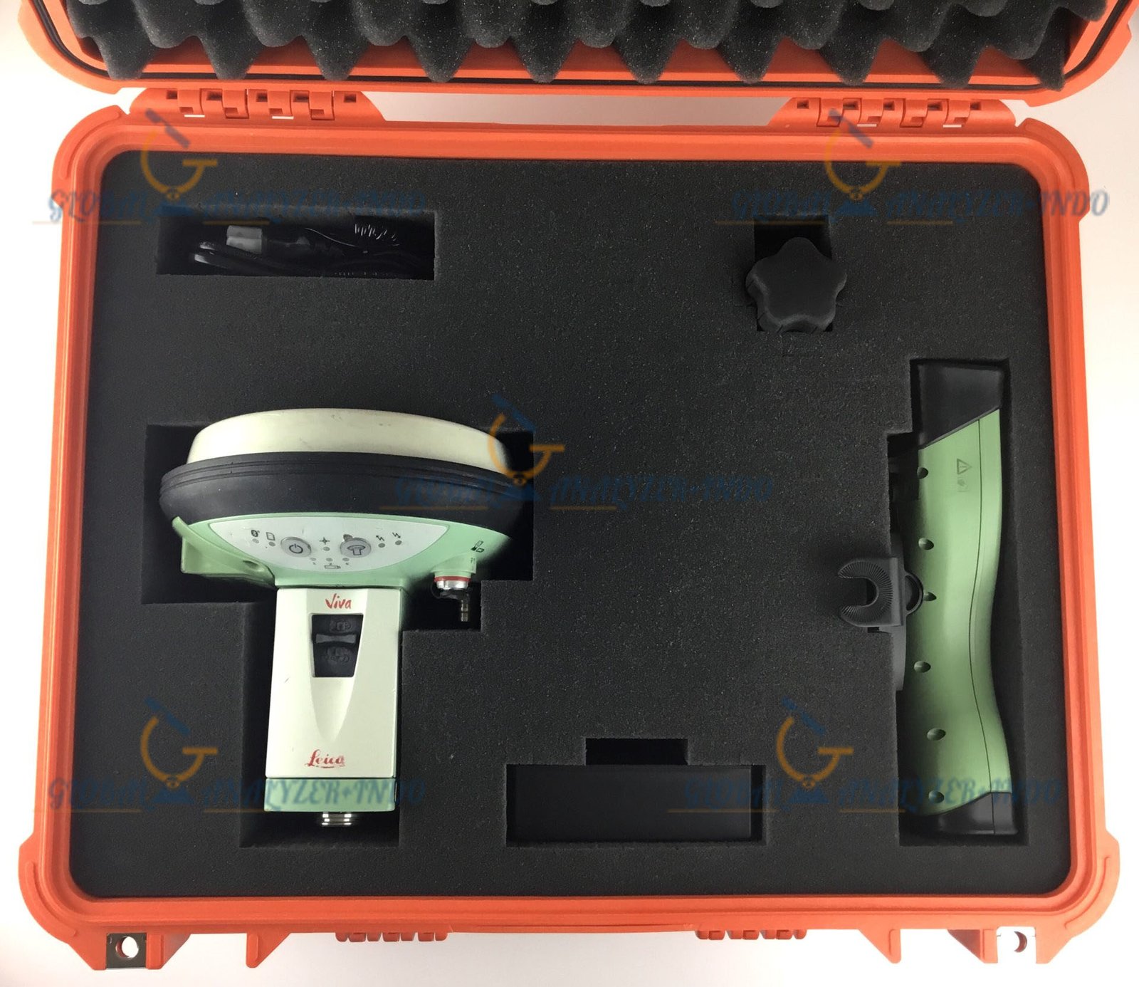
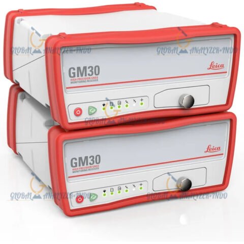
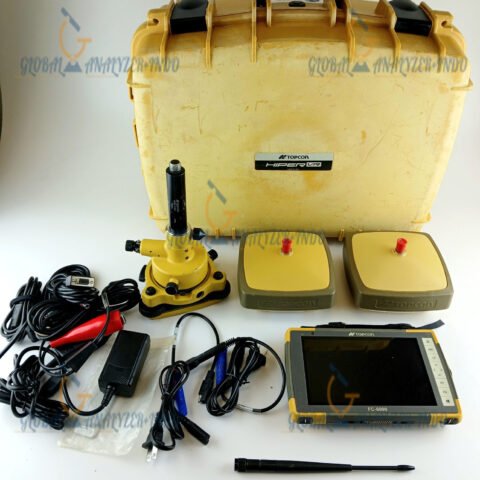
Leica Viva GS15 GNSS RTK Rover: High-Precision Surveying Solution
The Leica Viva GS15 is a versatile and high-performance GNSS RTK rover designed for professionals who require accurate, reliable, and efficient surveying solutions. Combining cutting-edge GNSS technology with robust hardware, the GS15 enables surveyors to capture precise geospatial data in a wide range of environments.
What Is the Leica Viva GS15?
The Leica Viva GS15 is a GNSS RTK rover that provides centimeter-level accuracy for surveying and mapping projects. With multi-frequency satellite tracking and intelligent RTK algorithms, it ensures reliable positioning even in challenging environments such as urban areas, forests, and construction sites. Its lightweight, rugged design makes it ideal for long fieldwork sessions.
Key Features of the Leica Viva GS15
1. High-Precision GNSS RTK
The GS15 delivers survey-grade positioning with fast RTK initialization and centimeter-level accuracy, making it suitable for topographic surveys, construction layout, and geospatial mapping.
2. Multi-Constellation and Multi-Frequency Support
Tracking GPS, GLONASS, Galileo, and BeiDou satellites across multiple frequencies, the GS15 ensures optimal reliability and accuracy in areas with signal obstructions or high interference.
3. Fast and Reliable RTK Performance
With advanced RTK algorithms, the GS15 maintains stable connectivity and delivers precise measurements quickly, reducing field time and increasing productivity.
4. Rugged and Lightweight Design
Built for demanding field conditions, the GS15 is water and dust resistant (IP67 rated) and lightweight enough for easy handling during extended surveying tasks.
5. Seamless Integration with Leica Captivate
Pairing the GS15 with Leica Captivate software allows surveyors to collect, visualize, and process data efficiently. The combination provides an intuitive workflow from field to office.
Benefits of Using the Leica Viva GS15
Enhanced Productivity
Fast RTK initialization and stable satellite tracking reduce downtime and increase field efficiency.
Accurate and Reliable Measurements
Centimeter-level precision ensures survey-grade results for construction, land surveying, and geospatial projects.
Flexible Field Operation
The GS15 performs reliably under canopy, near buildings, or in challenging terrain, allowing surveyors to work in diverse environments.
Long-Term Durability
Rugged construction and water/dust resistance ensure consistent performance across years of fieldwork.
Applications of the Leica Viva GS15 GNSS RTK Rover
Land and Topographic Surveys
Capture accurate terrain data, boundaries, and elevation points for mapping and planning.
Construction Layout and As-Built Surveys
Ensure precise placement of structures, roads, and utilities with minimal error.
Geospatial Data Collection
Collect high-quality GIS and geospatial data for asset management, urban planning, and environmental projects.
Infrastructure and Engineering Projects
Support bridges, roads, and large civil engineering projects with reliable survey-grade measurements.
Why Choose the Leica Viva GS15?
The Leica Viva GS15 GNSS RTK rover combines accuracy, reliability, and efficiency in a rugged, field-ready design. With multi-constellation tracking, fast RTK performance, and seamless software integration, it enables surveyors to complete projects faster, reduce errors, and improve productivity in challenging field conditions.


There are no reviews yet.