


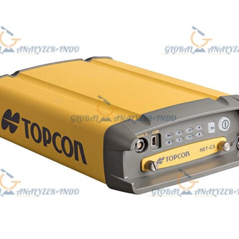
Topcon HiPer HR GNSS Receiver: Advanced Precision for Modern Surveying
The Topcon HiPer HR GNSS Receiver is a cutting-edge, high-performance surveying instrument engineered to deliver maximum accuracy, reliability, and flexibility in the field. With a compact yet rugged design, the HiPer HR is built to excel in challenging environments while providing exceptional GNSS performance for surveying, construction, GIS, and geospatial applications.
What Is the Topcon HiPer HR?
The Topcon HiPer HR is a fully integrated GNSS receiver that incorporates advanced multi-constellation tracking, precise RTK performance, and intelligent field-ready technologies. Designed to support modern workflows, it seamlessly integrates with Topcon’s field software and controllers, enabling efficient and accurate data capture across various terrains and project sizes.
Key Features of the Topcon HiPer HR
1. Advanced Multi-Constellation GNSS Tracking
The HiPer HR supports GPS, GLONASS, Galileo, BeiDou, and QZSS signals, ensuring strong satellite coverage in areas with obstructions or interference. This capability delivers stable positioning and reliable centimeter-level accuracy.
2. High-Performance RTK Technology
With advanced RTK algorithms, the HiPer HR provides fast initialization and consistent accuracy, reducing downtime and increasing productivity during field operations.
3. Rugged and Field-Ready Design
Built for real-world conditions, the HiPer HR features IP67 dust and water resistance, impact protection, and a durable housing. It remains dependable in harsh weather, rugged terrains, and demanding job sites.
4. Integrated Alkaline & Rechargeable Power Options
The receiver features versatile power solutions, ensuring long-lasting performance during extended fieldwork sessions without the need for frequent battery changes.
5. Automatic Height Tracking (TopconTILT)
With advanced tilt compensation, users can capture accurate measurements even when the pole is not perfectly vertical—ideal for working near obstacles or uneven surfaces.
6. Seamless Workflow Integration
The Topcon HiPer HR connects effortlessly with Topcon MAGNET Field and MAGNET Office software, providing a smooth data workflow from field to office.
Benefits of Using the Topcon HiPer HR GNSS Receiver
Enhanced Survey Efficiency
Fast satellite acquisition and RTK initialization help survey crews complete more work in less time.
Reliable Accuracy in Challenging Areas
Multi-constellation tracking delivers consistent results under canopy, near buildings, or in high-interference zones.
Flexible Operation
Tilt compensation, portable design, and robust build allow surveyors to capture data wherever needed—with fewer limitations.
Reduced Downtime
Durability, advanced power management, and strong signal tracking ensure continuous productivity even during long field sessions.
Applications of the Topcon HiPer HR
Construction Layout
Perform accurate staking and layout for roads, utilities, buildings, and large-scale developments.
Topographic and Boundary Surveys
Capture precise elevations, terrain details, and property boundaries with reliable measurement performance.
Geospatial Data Collection
Gather high-quality GIS-quality data for mapping, asset management, and environmental planning.
Civil Engineering and Infrastructure Projects
Support transportation, utilities, and public works projects with stable, survey-grade GNSS solutions.
Why Choose the Topcon HiPer HR?
The Topcon HiPer HR stands out for its robust design, advanced GNSS capabilities, field-ready technology, and seamless software integration. Its combination of multi-constellation tracking, RTK precision, and flexible workflow options makes it an ideal choice for surveyors seeking accuracy, speed, and reliability in every project.


There are no reviews yet.