
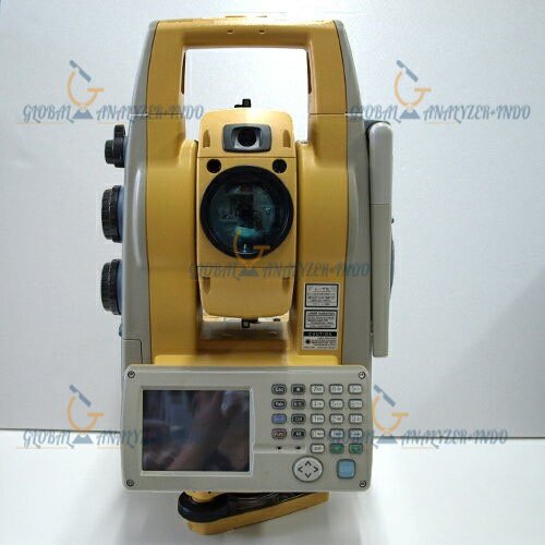
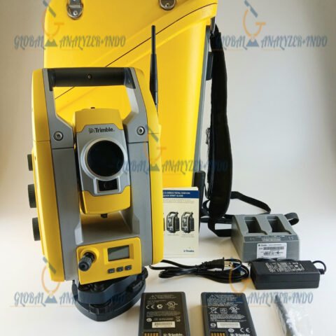
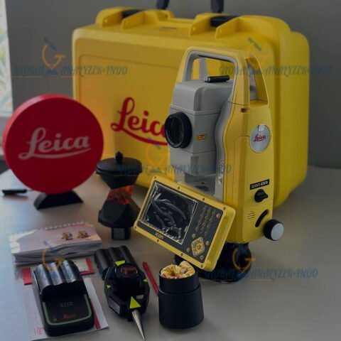
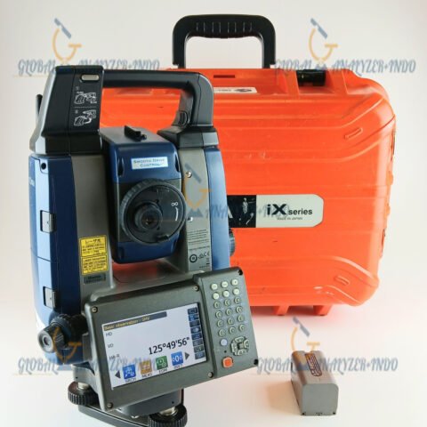
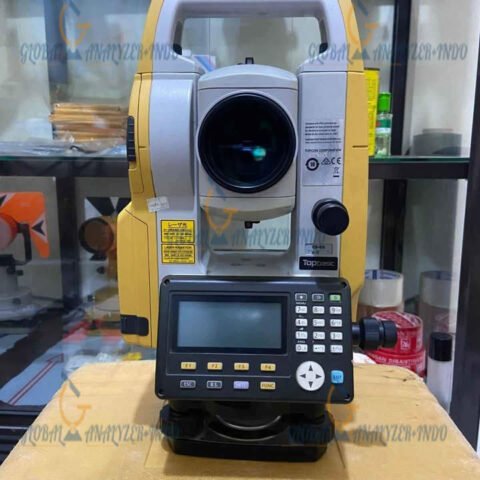
Topcon IS-305 Imaging Total Station for High-Precision Surveying and Construction Layout
The Topcon IS-305 Imaging Total Station is an advanced surveying solution that combines high-accuracy measurement, imaging technology, and data management for efficient construction and engineering projects. Designed for modern surveyors and construction teams, the IS-305 ensures precise layout, fast data collection, and reliable documentation.
What Is the Topcon IS-305 Imaging Total Station?
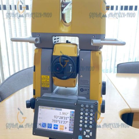
The Topcon IS-305 is an imaging total station that integrates electronic distance measurement (EDM) with high-resolution imaging capabilities. Unlike traditional total stations, it allows operators to capture both spatial data and images simultaneously, improving verification, collaboration, and site documentation.
How Imaging Total Stations Work
Imaging total stations combine laser-based distance measurement with high-resolution cameras to capture 3D coordinates and digital images of targets or structures. This dual functionality enables operators to verify measurements visually, overlay data on images, and increase overall surveying accuracy.
Key Features of Topcon IS-305
Sub-Millimeter Accuracy
The IS-305 provides high-precision angular and distance measurements, ensuring reliable surveying even in complex construction or industrial environments.
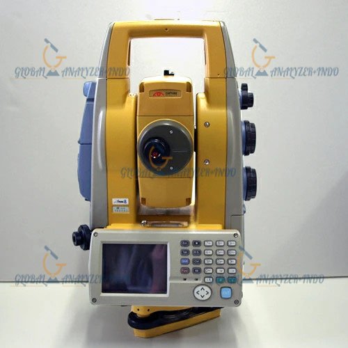
Integrated High-Resolution Imaging
With its built-in camera, the IS-305 captures detailed images of survey points and site conditions. Consequently, operators can verify layouts and measurements visually, enhancing documentation quality.
Advanced Data Management and Connectivity
The system allows real-time data capture, processing, and transfer to CAD, GIS, or BIM platforms, streamlining workflows and improving project efficiency.
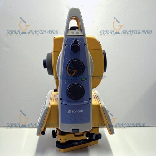
Portable and Rugged Design
Designed for field use, the IS-305 is lightweight, durable, and easy to set up, capable of performing reliably in challenging environmental conditions.
Benefits of Using Topcon IS-305
Enhanced Accuracy and Reliability
Combining EDM with imaging technology reduces measurement errors and increases confidence in construction layouts and surveying results.
Increased Productivity
Simultaneous capture of spatial data and images reduces site visits and accelerates project timelines, saving both time and costs.
Comprehensive Site Documentation
The integration of accurate coordinates with high-resolution images provides complete records for verification, quality control, and reporting.
Applications of Topcon IS-305 Imaging Total Station
Construction and Building Layout
The IS-305 is ideal for positioning walls, foundations, and structural components, ensuring alignment with design plans.
Civil Engineering and Infrastructure Projects
Surveyors use it for road, bridge, and utility layout, enabling precise construction and monitoring progress efficiently.
Land Surveying and Mapping
The IS-305 supports topographic surveys, boundary measurement, and property mapping, ensuring accurate documentation for legal and engineering purposes.
Industrial Facility Installation
Used for plant layout, machinery installation, and assembly verification, the IS-305 reduces errors and enhances operational efficiency.
Why Choose Topcon IS-305?
Trusted Surveying Technology
Topcon is a global leader in surveying and construction solutions, providing equipment that professionals trust for accuracy and reliability.
Future-Proof and Scalable
With software integration and versatile functionality, the IS-305 can adapt to evolving project needs, making it a long-term investment for survey and construction teams.


There are no reviews yet.