
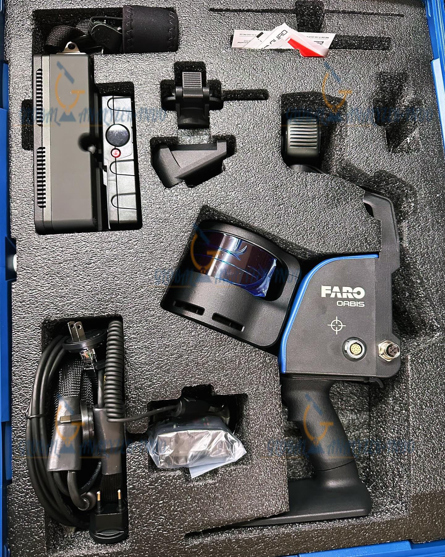
FARO Orbis Mobile Scanner and Datalogger Kit: Intelligent Mobile Mapping for Reality Capture
The FARO Orbis Mobile Scanner and Datalogger Kit is an advanced mobile mapping solution designed for efficient and accurate 3D data collection. By combining intelligent mobile scanning with integrated data logging, this system enables professionals to capture high-quality spatial data while moving through complex environments.
Overview of the FARO Orbis Mobile Scanner and Datalogger Kit
The FARO Orbis system provides a flexible approach to reality capture. It allows users to collect detailed 3D point clouds and contextual data in real time without the need for fixed scanning positions. Therefore, it supports faster workflows compared to traditional static scanning methods.
Key Features of the FARO Orbis Mobile Scanner
Intelligent Mobile Scanning Technology
The system captures spatial data continuously while in motion. As a result, users can map large areas efficiently with minimal setup time.
Integrated Datalogger Kit
The datalogger records positional and sensor information during scanning. Moreover, this integration improves data consistency and supports streamlined post-processing.
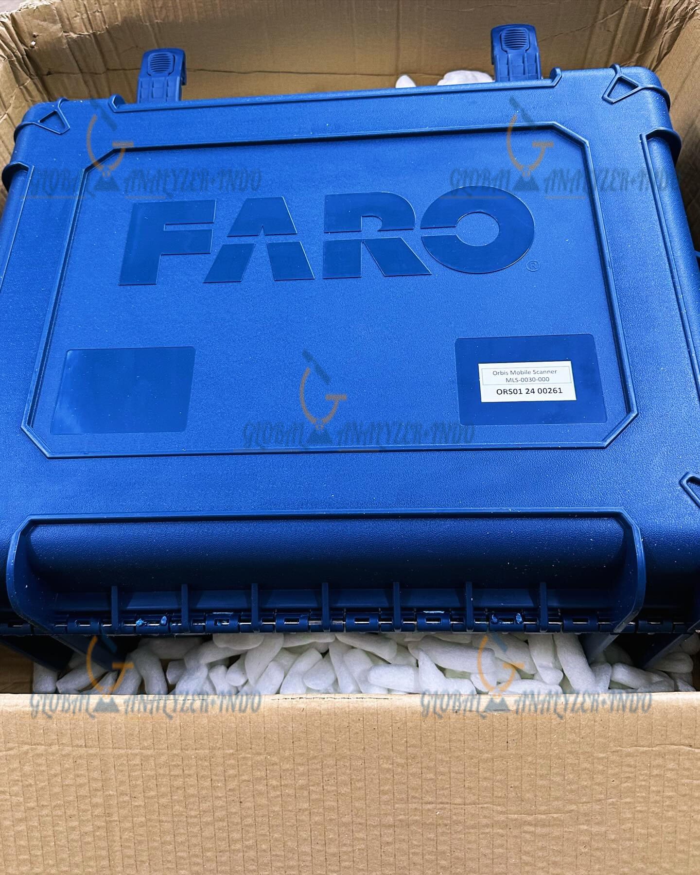
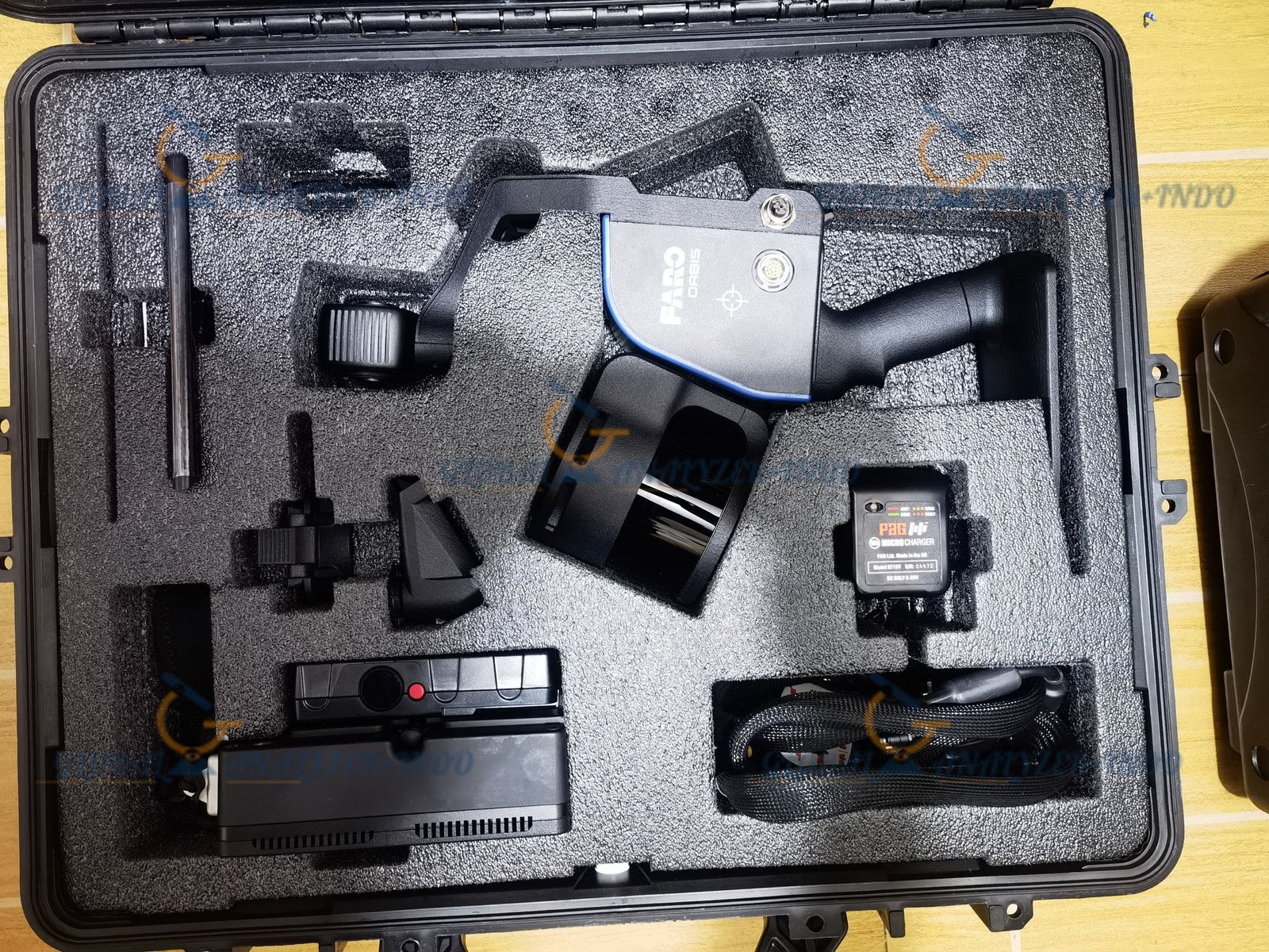
Compact and Portable Design
Designed for mobile use, the FARO Orbis scanner is lightweight and easy to transport. Consequently, professionals can perform extended scanning sessions comfortably.
Technology and Performance
Advanced Reality Capture Capabilities
The FARO Orbis leverages modern mobile scanning technology to deliver detailed and accurate 3D datasets. In addition, it adapts well to both indoor and outdoor environments.
Reliable and Consistent Data Output
The system produces stable point clouds across repeated scans. Therefore, professionals can rely on the data for analysis, planning, and documentation.
Applications of the FARO Orbis Mobile Scanner and Datalogger Kit
Construction and As-Built Documentation
Construction teams use the system to capture existing site conditions quickly. Furthermore, it supports progress monitoring and quality control.
Infrastructure and Asset Management
Infrastructure professionals rely on the scanner to document assets and facilities accurately. As a result, maintenance and planning processes become more efficient.
Facility and Industrial Mapping
Facility managers use the FARO Orbis to create digital records of buildings and industrial environments. Additionally, the data supports space planning and operational optimization.
Benefits of Choosing the FARO Orbis Solution
Faster Project Completion
Mobile scanning reduces data capture time significantly. Consequently, projects move forward faster with reduced labor costs.
Improved Workflow Efficiency
Integrated data logging simplifies data management and processing. Therefore, teams can focus on analysis rather than data preparation.
Versatile Deployment Options
The system adapts to various project types and environments. Moreover, its flexibility makes it suitable for diverse industries.
Best Practices for Optimal Results
Planning Efficient Scan Paths
Careful planning ensures full coverage and accurate results. Additionally, optimized scan paths improve overall data quality.
Regular System Maintenance
Routine checks and updates help maintain performance. Consequently, the system delivers consistent results over time.


There are no reviews yet.