
GEOSUN GS-200G: High-Quality 3D LiDAR Scanner with GNSS & SLAM Technology
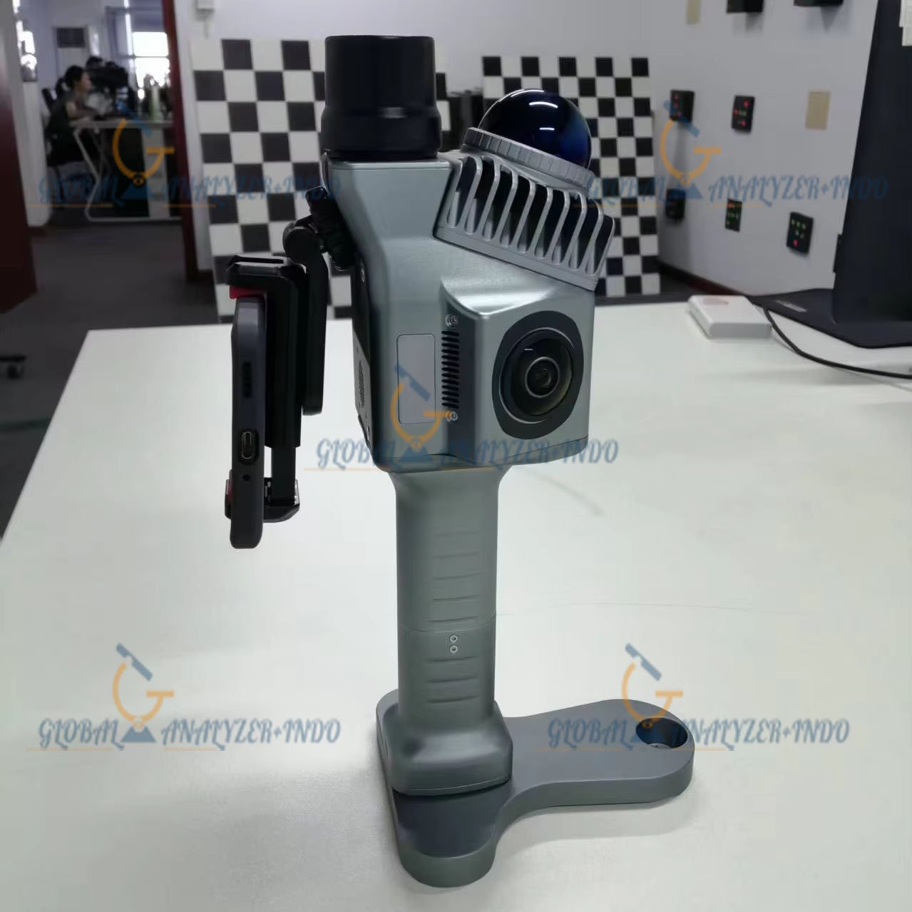
The GEOSUN GS-200G is a state-of-the-art LiDAR scanner designed for surveying, construction, and geospatial applications. Equipped with GNSS and advanced SLAM (Simultaneous Localization and Mapping) technology, the GS-200G delivers high-precision 3D data capture in both indoor and outdoor environments, making it a versatile solution for professionals seeking accuracy, efficiency, and reliability.
Why Choose the GEOSUN GS-200G?
Advanced LiDAR and SLAM Technology
The GS-200G combines LiDAR scanning with SLAM algorithms to map complex environments without relying solely on GPS. This allows for:
-
Accurate scanning in GPS-limited areas like tunnels, forests, and indoor spaces
-
High-resolution 3D point cloud generation
-
Real-time data registration for faster project completion
Integrated GNSS System
With the built-in GNSS system, the GS-200G ensures precise georeferencing for all outdoor scanning projects. This enables survey-grade accuracy while reducing the need for additional control points.
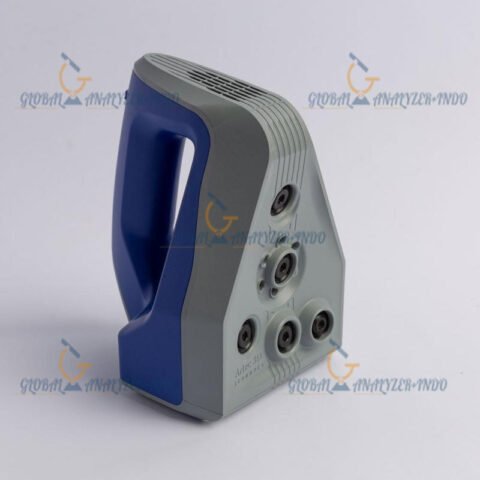
Portable and User-Friendly Design
Weighing lightly and designed for mobility, the GS-200G can be easily deployed in various terrains and challenging environments. Its intuitive interface allows operators to start scanning with minimal training.
Key Features of GEOSUN GS-200G
High-Precision 3D Scanning
-
Up to 300,000 points per second
-
Accuracy: 1-3 cm, depending on environment
-
Maximum range: 100-200 meters, ideal for both indoor and outdoor surveys
GNSS Integration
-
High-precision georeferencing
-
Seamless integration with LiDAR point clouds
-
Supports real-time GPS corrections for enhanced accuracy
SLAM Functionality
-
Reliable mapping in GPS-denied environments
-
Automatic trajectory calculation
-
Continuous 3D mapping for dynamic and static scenarios
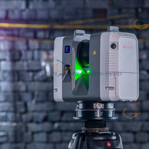
Versatile Deployment
-
Handheld for small-scale or indoor surveys
-
Mounted on a backpack system for larger areas
-
Optional pole or tripod integration for inaccessible locations
Data Handling & Compatibility
-
Compatible with industry-standard formats such as LAS, LAZ, E57
-
Supports post-processing in leading software platforms
-
Efficient storage with internal SSD and SD card support
Applications
Construction & Engineering
-
Accurate site surveys for building and infrastructure projects
-
Monitor progress with repeatable 3D scans
-
Quickly generate as-built models and BIM integration
Mining & Environmental Surveys
-
Safe mapping of underground mines and tunnels
-
Outdoor terrain mapping in forests, quarries, or rugged landscapes
-
Rapid volumetric calculations and analysis
Geospatial & Surveying
-
GIS data collection for municipalities and research
-
Large-scale topography and urban planning
-
Efficient data capture in remote locations
Specifications
| Component | Specification |
|---|---|
| Points per second | 300,000 |
| Scanning Range | 100–200 m |
| Accuracy | 1–3 cm |
| Laser Class | Class 1 Eye Safe |
| GNSS | Integrated GPS & GLONASS |
| SLAM Algorithm | Advanced real-time mapping |
| Data Storage | Internal SSD + SD card support |
| Weight | 3–5 kg depending on configuration |
| Operating Temperature | -20°C to 50°C |
| Protection | IP54 dust & water-resistant |
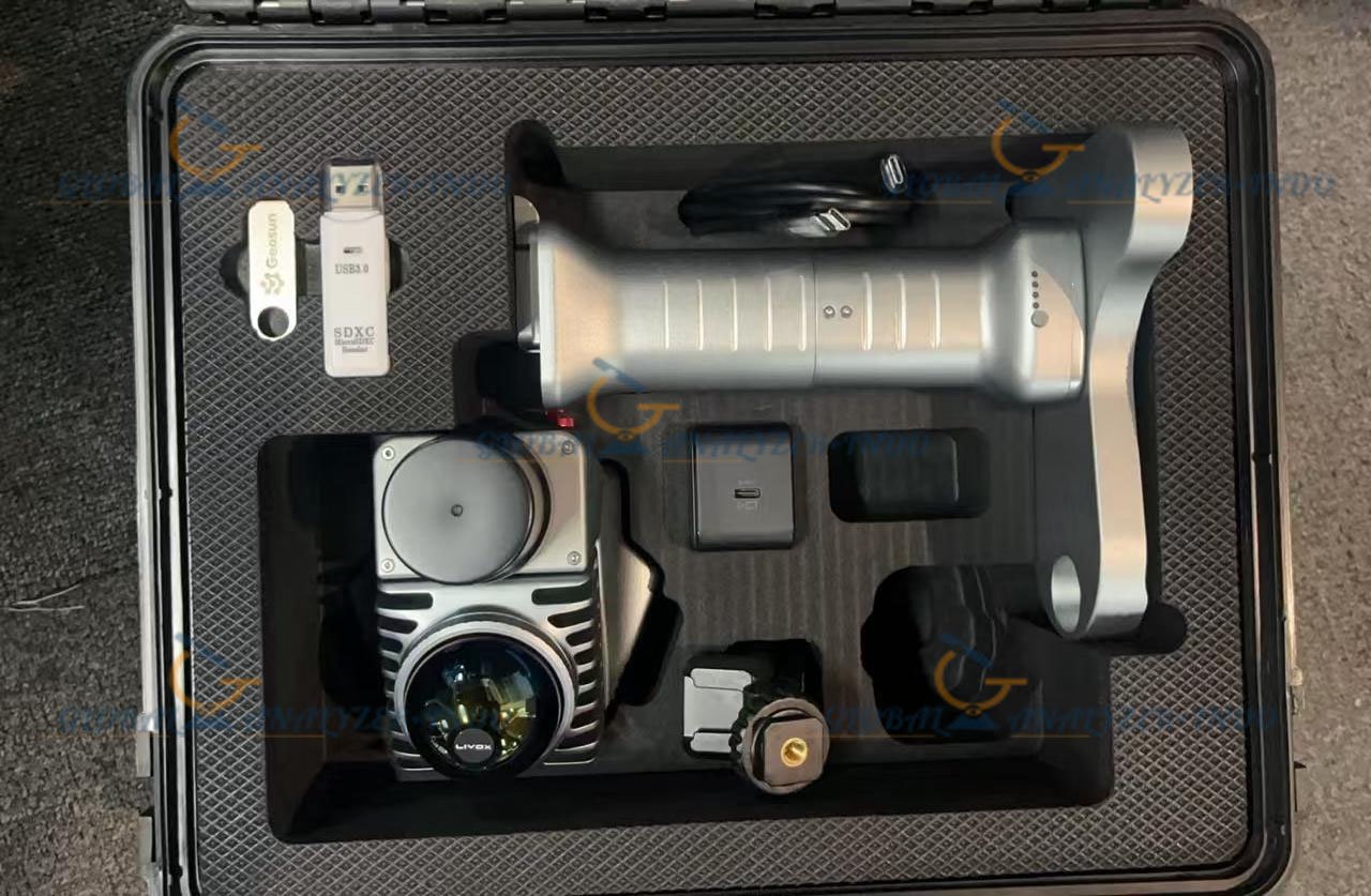
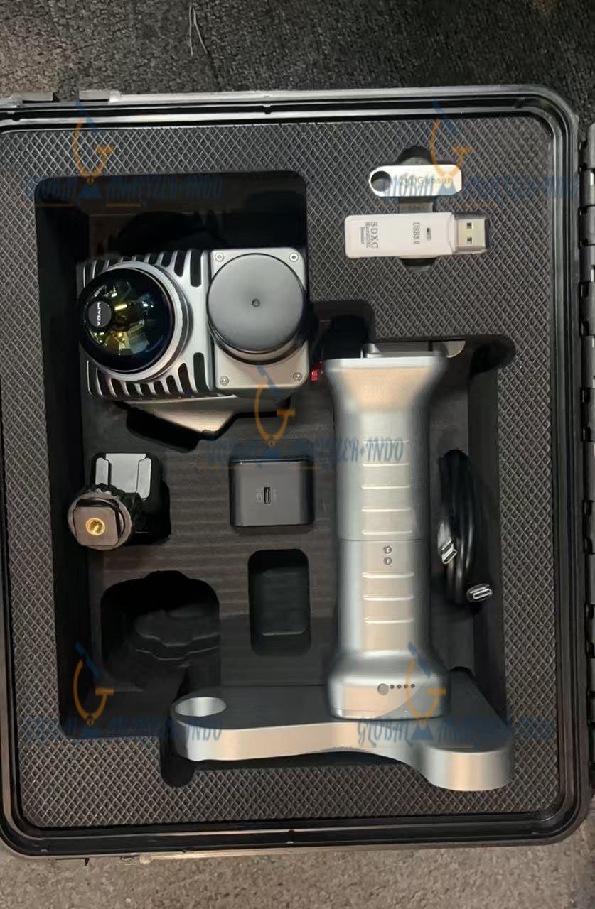
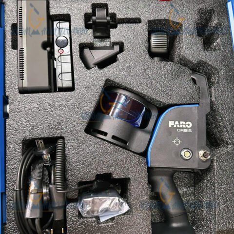
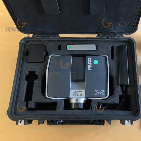
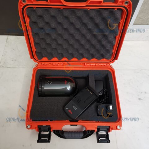
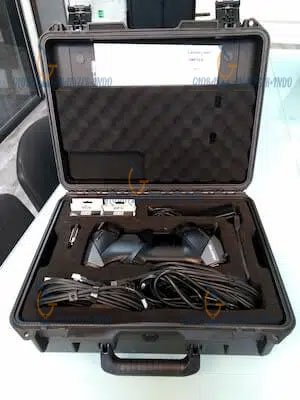
Package Includes
-
GEOSUN GS-200G LiDAR Scanner
-
High-capacity battery and charger
-
Data logger and backpack system
-
GNSS antenna
-
Mounting accessories (pole, tripod)
-
USB and data transfer cables
-
Software for post-processing and real-time registration
-
User manual and warranty card
Warranty Information
The GS-200G comes with a 3-year full warranty, ensuring peace of mind and reliable support for professional users. Optional extended service plans are available.

There are no reviews yet.