
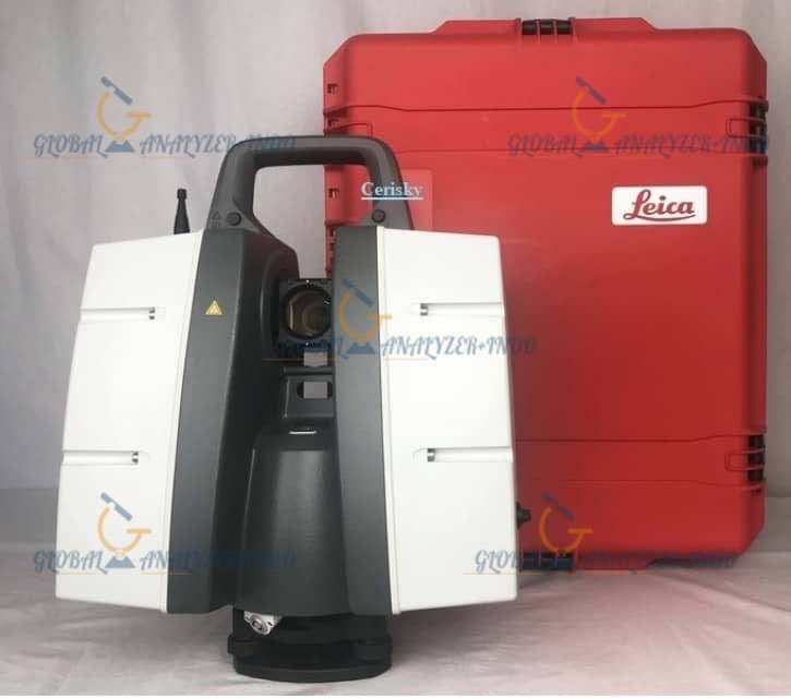
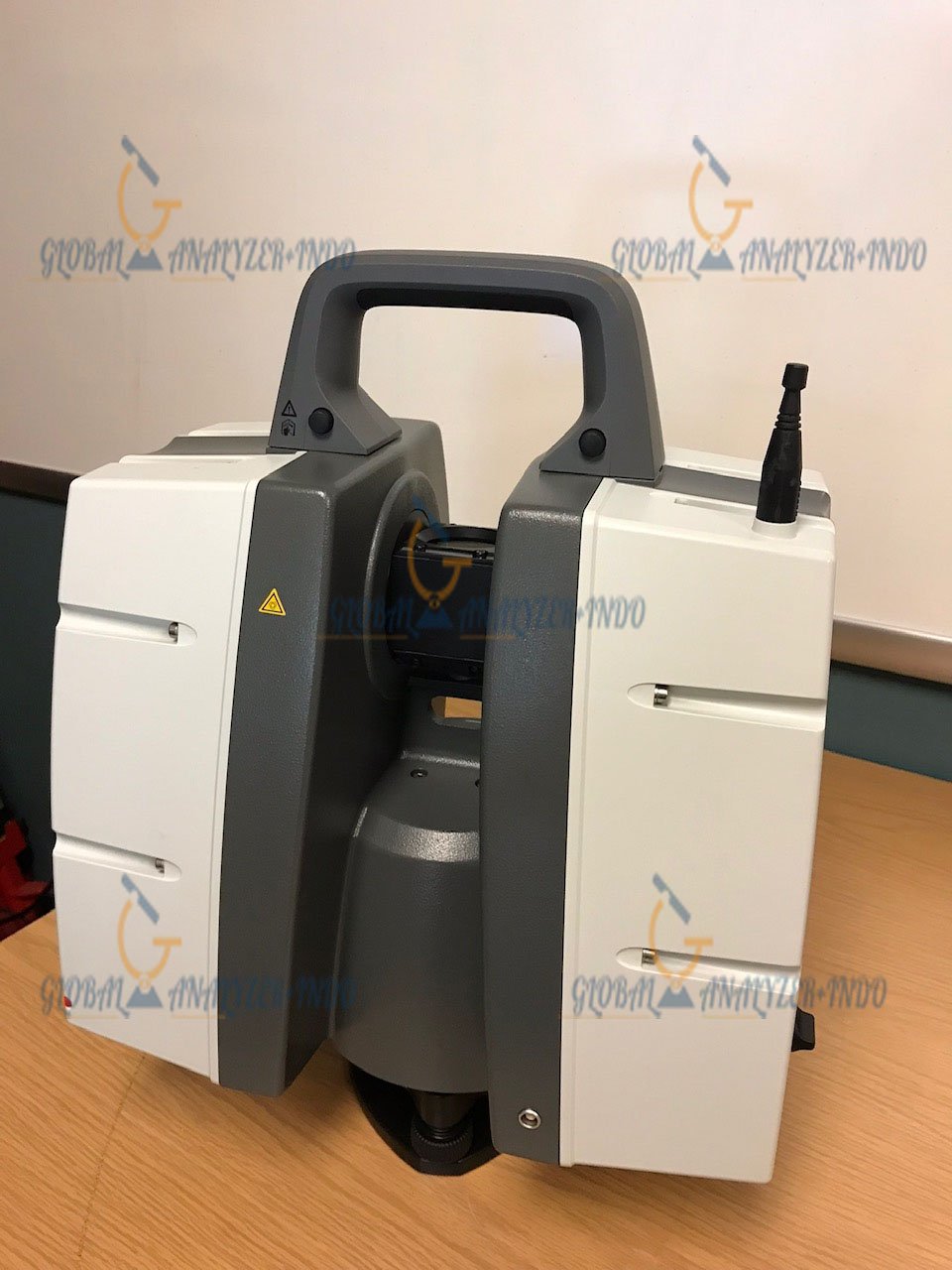
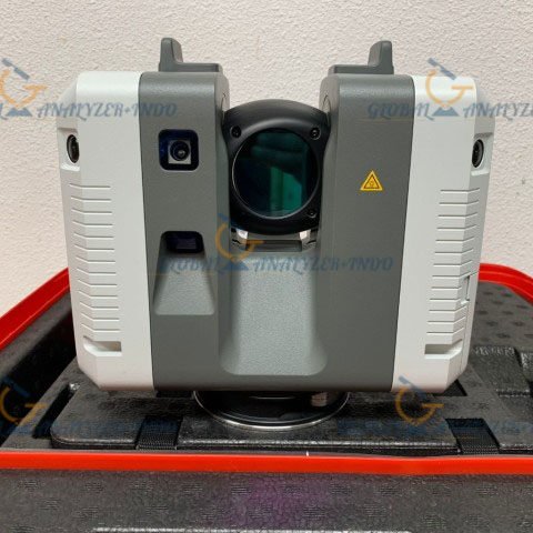
Leica 3D ScanStation P40 Laser Scanner: Precision 3D Reality Capture
The Leica 3D ScanStation P40 Laser Scanner delivers fast, accurate, and reliable 3D data capture for professional surveying and engineering projects. Modern infrastructure and industrial environments demand precision and efficiency. Therefore, the Leica P40 helps professionals capture detailed spatial data with confidence and speed.
Overview of the Leica ScanStation P40
The Leica ScanStation P40 is a long-range terrestrial laser scanner designed for high-accuracy measurement. It supports complex projects where detailed geometry and reliable performance matter most.
Professionals Who Use the Leica P40
Surveyors, engineers, and industrial specialists rely on the Leica P40 for:
Land and infrastructure surveying
Industrial facility documentation
Structural analysis and inspection
Forensic and investigative work
As a result, the scanner fits a wide range of professional applications.
Key Features of the Leica 3D ScanStation P40
Long-Range High-Accuracy Scanning
The Leica P40 captures precise measurements over long distances. This capability makes it ideal for tunnels, bridges, plants, and large construction sites.
Fast and Efficient Data Capture
High scanning speed allows users to collect dense point clouds quickly. Teams can complete fieldwork faster while maintaining data quality.
Rugged Design for Harsh Environments
Leica designed the P40 to perform in extreme temperatures and dusty or wet conditions. This durability ensures consistent operation on demanding job sites.
Technical Capabilities
Reliable Measurement Accuracy
The P40 delivers consistent and repeatable results. Engineers can trust the data for deformation analysis, modeling, and verification tasks.
Seamless Software Integration
The scanner works smoothly with Leica data processing software. Users can process, analyze, and visualize scan data without complex workflows.
Stable Performance in Challenging Conditions
The Leica P40 maintains accuracy even in environments with vibration or limited visibility. This stability supports critical measurement tasks.
Benefits of Using the Leica P40 Laser Scanner
Higher Productivity in the Field
Quick setup and efficient scanning reduce time spent on site. Teams can capture complete datasets with fewer scan positions.
Improved Safety for Survey Teams
Remote scanning eliminates the need to access dangerous or restricted areas. As a result, teams can work more safely.
High-Quality Data for Better Decisions
Accurate point clouds support reliable planning and analysis. Project teams can make informed decisions with confidence.
Common Applications of the Leica ScanStation P40
Surveying and Mapping
The P40 supports topographic surveys, control networks, and as-built documentation with high accuracy.
Industrial and Plant Documentation
Engineers use the scanner to create detailed 3D models of plants and facilities. These models support maintenance, upgrades, and expansions.
Infrastructure and Forensic Projects
The scanner captures accurate spatial data for bridges, tunnels, and forensic scenes. This data supports investigation and long-term analysis.
Why Choose the Leica 3D ScanStation P40?
The Leica P40 combines precision, speed, and durability in one solution. Professionals choose it when accuracy and reliability matter most.
Proven Leica Geosystems Technology
Leica Geosystems brings decades of expertise in measurement technology. This experience ensures dependable performance and long-term support.
Designed for Demanding Projects
The P40 handles complex environments with ease. It continues to perform where standard scanners struggle.


There are no reviews yet.