
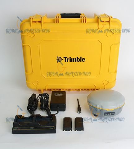
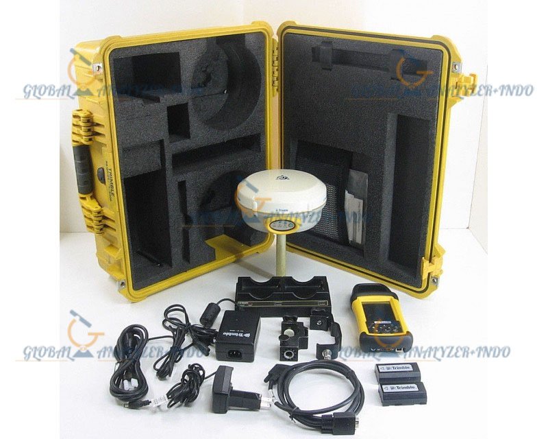
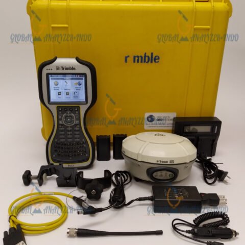
Trimble R4 GPS GNSS with RECON Data Collector: High-Precision Surveying Solution
The Trimble R4 GPS GNSS with RECON Data Collector is a professional-grade surveying system designed to deliver high-accuracy positioning and reliable data collection in the field. Ideal for surveying, construction, and mapping applications, it combines advanced GNSS technology with an intuitive data collector for efficient workflows.
What Is the Trimble R4 GPS GNSS System?
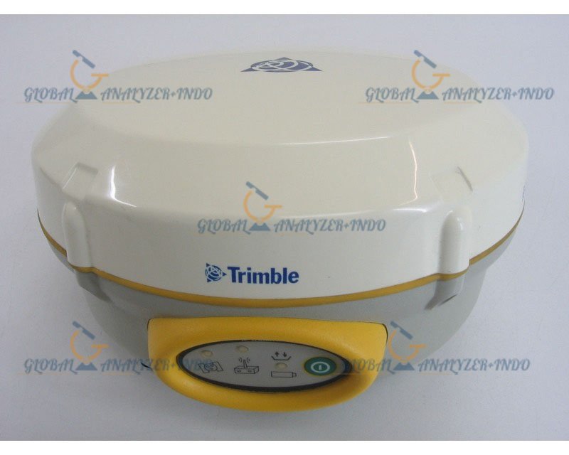
The Trimble R4 is a GNSS (Global Navigation Satellite System) receiver that provides centimeter-level positioning accuracy for surveyors and engineers. When paired with the RECON data collector, it allows seamless data recording, processing, and transfer, enhancing field productivity.
Core Functions
-
High-accuracy GNSS positioning for surveying and mapping
-
Real-time data collection and storage using RECON
-
Supports construction layout, topographic surveys, and geospatial projects
Key Features of the Trimble R4 GPS GNSS
Advanced GNSS Technology
Supports multiple satellite constellations, providing accurate positioning even in challenging environments such as urban areas and forests.
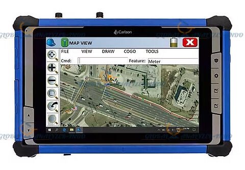
RECON Data Collector
The RECON data collector offers a rugged, user-friendly interface for capturing, storing, and managing survey data on-site.
Real-Time Kinematic (RTK) Capability
Enables centimeter-level positioning with real-time corrections for high-precision surveying applications.
Technical Advantages
Portable and Field-Ready
Lightweight and durable design ensures reliable operation in various environmental conditions.
Long Battery Life
Optimized power management allows extended fieldwork without interruptions.
Flexible Communication
Supports Bluetooth, Wi-Fi, and radio modem connectivity for real-time data transmission.
Seamless Software Integration
Compatible with Trimble Business Center and other surveying software for efficient post-processing and analysis.
Applications of the Trimble R4 GPS GNSS with RECON
Land Surveying
Provides accurate geospatial data for topographic maps, boundary surveys, and site planning.
Construction and Engineering
Supports layout, staking, and alignment tasks for civil engineering and construction projects.
Geospatial and Mapping Projects
Ideal for GIS data collection, environmental monitoring, and infrastructure mapping.
Agriculture and Forestry
Used in precision agriculture and forest mapping for accurate positioning and resource management.
Benefits of Using the Trimble R4 GPS GNSS
High Accuracy
GNSS technology ensures centimeter-level precision for critical survey tasks.
Increased Efficiency
Real-time data collection and processing reduce fieldwork time and errors.
Reliable and Durable
Rugged design and robust electronics make it suitable for demanding environments.
User-Friendly Operation
Intuitive RECON interface simplifies data management and measurement workflows.
Why Choose the Trimble R4 GPS GNSS with RECON?
The Trimble R4 GPS GNSS with RECON Data Collector is perfect for surveyors, engineers, and geospatial professionals who need accuracy, reliability, and efficiency in the field. Its combination of advanced GNSS technology, RTK capability, and rugged data collection makes it an ideal solution for a wide range of surveying and mapping applications.


There are no reviews yet.